Starting point: Trnovska vas (247 m)
Starting point Lat/Lon: 46.52015°N 15.88555°E 
Time of walking: 1 h 20 min
Difficulty: easy marked way
Difficulty of skiing: no data
Altitude difference: 62 m
Altitude difference (by path): 62 m
Map:
Access to starting point:
A) We leave Pomurska highway at exit Sveta Trojica, and then we follow the signs for Ptuj. When we get to the settlement Trnovska vas we turn right towards the cemetery, and soon after the crossroad we park on a marked parking lot.
B) We drive to Ptuj, and then we follow the signs for Gornja Radgona and Sveta Trojica. In the settlement Trnovska vas at the roundabout we notice red hiking signposts, and from the roundabout we continue "straight", and then we go left in the direction of the cemetery, and soon after the crossroad we park on a marked parking lot.
Path description:
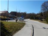
From the parking lot, we return to the main road, and then we continue right to the nearby roundabout, where we notice the first blazes and also first hiking signposts. We continue on the left road towards Vitomarci and Juršinci, where we go at first past the church of St. Bolfenk, store Jager and other buildings, and then we walk on a sidewalk between the road and the fields. When we get to a hamlet Trnovci we go right and then immediately left, both times in the direction of the blazes and Vitomarci. After crossing the stream Črmljenški potok we go right, and behind the last house the road ends and we continue on a cart track which a little ahead brings us to the embankment of the before mentioned stream. On the mentioned embankment we walk to a confluence with Pesnica, where the path turns left and it still continues on the embankment.
Next follows a little longer path towards the north, and when we reach the asphalt road we go right over a bridge and we walk by the road to the settlement Drbetinci, where we get to a crossroad, where we go right in the direction of the blazes and signposts.
Only a little further signs for a lookout tower point us to the left on a side road (straight - unmarked path towards Vitomarci, which leads on a little wider asphalt road and bypasses the lookout tower), on which we go at first past few more houses and farms, and then we start ascending steeper. After few minutes of a steep ascent we already get to a lookout tower on the peak Ostragova, from which a nice view opens up.
Description and pictures refer to a condition in March 2022.
On the way: Drbetinci (225m)
Pictures:
 1
1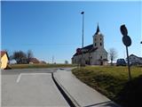 2
2 3
3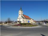 4
4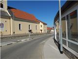 5
5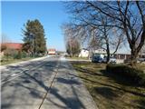 6
6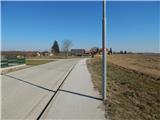 7
7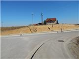 8
8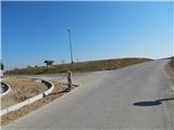 9
9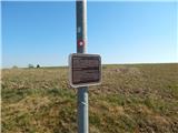 10
10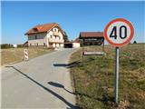 11
11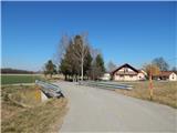 12
12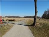 13
13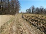 14
14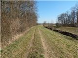 15
15 16
16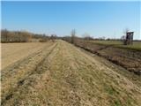 17
17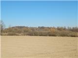 18
18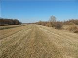 19
19 20
20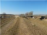 21
21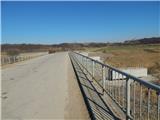 22
22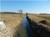 23
23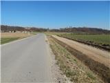 24
24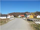 25
25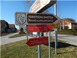 26
26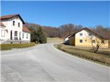 27
27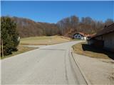 28
28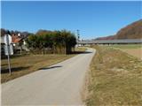 29
29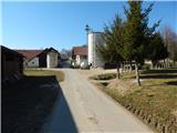 30
30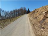 31
31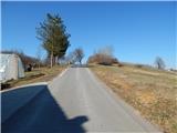 32
32 33
33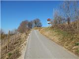 34
34 35
35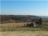 36
36 37
37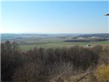 38
38