Tržič (Čegelše) - Zavetišče na Kalu
Starting point: Tržič (Čegelše) (580 m)
Starting point Lat/Lon: 46.3706°N 14.3068°E 
Time of walking: 2 h
Difficulty: easy marked way
Difficulty of skiing: no data
Altitude difference: 532 m
Altitude difference (by path): 550 m
Map: Karavanke - osrednji del 1:50.000
Access to starting point:
We drive to Tržič, then from Predilniška cesta we turn left in the direction of Podljubelj. Further on, we drive through the old town core, and at the crossroads we still follow the signs for Podljubelj. The route ahead leads us along Koroška cesta, where on the right we soon notice small gardens, behind them the mountain signpost for Kofce past Završnik. At the mentioned signpost the described path begins, but since there are no arranged parking spots at the starting point, we have to park higher by the road, or already in the center of Tržič.
Path description:
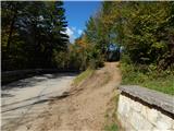
From the asphalt road the signs for Kofce direct us onto a cart track which starts moderately ascending. The cart track first crosses slopes towards the left, then passes into an indistinct valley, where from the cart track slightly to the left a marked path branches off (if we continue on the cart track we arrive at the climbing area). We continue on the marked path, after a minute or two we return onto the cart track, which we follow to the left. Further on we walk on a new cart track, from which we go left soon, the turn-off being harder to notice due to the rough terrain.
The path ahead leads us on a gently undulating mountain path, which crosses slopes towards the left. A little further another path joins from the left, and we arrive at a smaller ridge just some 10 steps further, where an unmarked footpath branches off to the right towards Veliki vrh above Završnik.
We continue on the marked path, which for some time ascends diagonally through the forest, then leads past a smaller weekend cottage. A little further the path widens into a cart track, along which we reach the Završnik farm, where we bypass the houses on the left side. For a short time we continue on the access road, then we go right and a few steps further we cross another road.
We continue towards Kofce, quickly reaching the next cart track, along which we ascend with initially nice views towards Dobrča and Begunjščica, then the cart track enters the forest. Higher we ascend partly on the cart track, partly on marked shortcuts. A short scenic section follows and from the right a path joins us, which leads from the center of Tržič over Kamnek.
We continue on the gentle path, which further crosses the slopes of Kobla, then brings us out of the forest onto the Kal saddle, where there is a marked junction.
We continue slightly right towards Kofce and after some 10 steps of further walking we arrive at Zavetišče na Kalu.
Description and pictures refer to the condition in the year 2017 (October) and 2018 (July).
On the way: Završnik (860m)
Pictures:
 1
1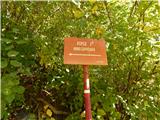 2
2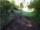 3
3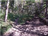 4
4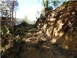 5
5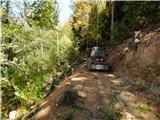 6
6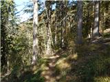 7
7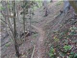 8
8 9
9 10
10 11
11 12
12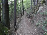 13
13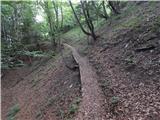 14
14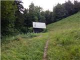 15
15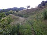 16
16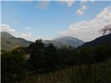 17
17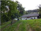 18
18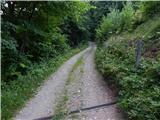 19
19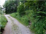 20
20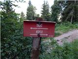 21
21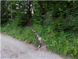 22
22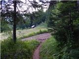 23
23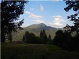 24
24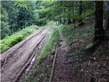 25
25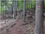 26
26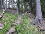 27
27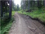 28
28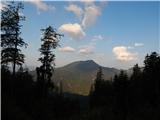 29
29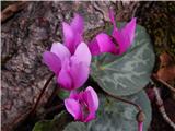 30
30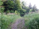 31
31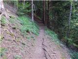 32
32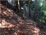 33
33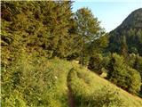 34
34 35
35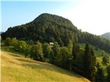 36
36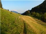 37
37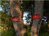 38
38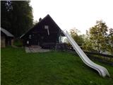 39
39