Tržič - Kamnek (Po Seili)
Starting point: Tržič (530 m)
| Latitude/Longitude: | 46,36470°N 14,31030°E |
| |
Route name: Po Seili
Walking time: 1 h 5 min
Difficulty: partly demanding marked way
Elevation gain: 343 m
Elevation difference along the route: 355 m
Map: Karavanke 1:50.000 - osrednji del
Recommended equipment (summer):
Recommended equipment (winter): ice axe, crampons
Views: 2.280
 | 1 person like this post |
Access to starting point:
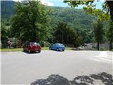
From the Ljubljana - Jesenice highway we take the Ljubelj (Tržič) exit, then before the gas station in Bistrica pri Tržiču we turn right downwards, where we quickly arrive in Tržič. At the intersection past the Mercator store we turn left in the direction of the Tržič Museum, but we continue driving along Koroška cesta, which we follow through the center of the town to the nearby pizzeria. Here we turn right through the old yard gates and then past the parking lot for guests of the pizzeria and the children's playground we drive to the parking lot by the castle.
Route description:
From the parking lot by the castle we first descend the stairs, then we continue left on a wide path, from which a nice view opens up on Tržič. Only a little further we arrive at the chapel, where we continue straight in the direction of Radetzkyjeva pot. We continue the ascent on a gently sloping path, then when an arrow on the tree indicates that Radetzkyjeva pot continues slightly left, we continue on the right cart track (unmarked), which first descends a little and then crosses the slopes to the right. When after a few minutes the cart track turns left, we continue straight on a forest path, which continues crossing the slopes, and a little further we join another marked path (starting point for Tržič primary school).
The path ahead lightly ascends to a smaller saddle, where we continue left (right a smaller elevation full of litter), and the path a little further splits again. We continue on the slightly right marked path, which starts to ascend steeply, and on a shorter section a steel cable assists us. Further on we ascend quite steeply along a forested ridge, then the path flattens and after a short descent a marked path from the hamlet Slap joins us from the right.
We continue straight ahead on the steep path, which higher leads past a bench. At the smaller junction above the bench we continue along the ridge, then we arrive at a technically demanding spot, where with the help of fixed safety gear we ascend steeply. When the fixed safety gear ends the path is still steep for a short time, then it flattens and higher it joins Radetzkyjeva pot, to which from the right another path from the hamlet Slap joins, namely the path across Ride.
This time too we continue straight, at the next junction we go slightly right in the direction of Kamnek (the slightly left path bypasses the summit). A few more minutes of steep walking follow and the increasingly scenic path brings us to Kamnek.
Description and pictures refer to the condition in 2017 (May).

Photos:
 1
1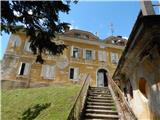 2
2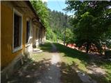 3
3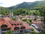 4
4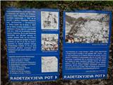 5
5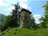 6
6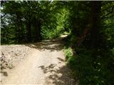 7
7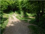 8
8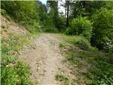 9
9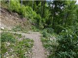 10
10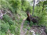 11
11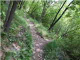 12
12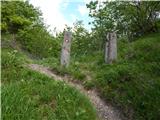 13
13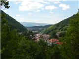 14
14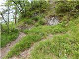 15
15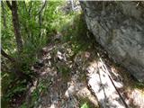 16
16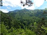 17
17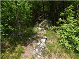 18
18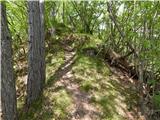 19
19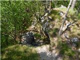 20
20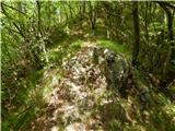 21
21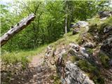 22
22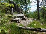 23
23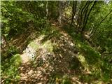 24
24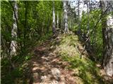 25
25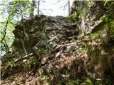 26
26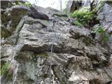 27
27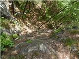 28
28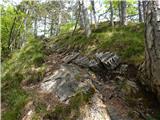 29
29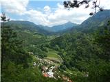 30
30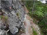 31
31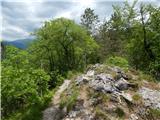 32
32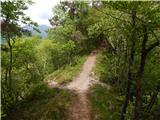 33
33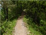 34
34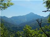 35
35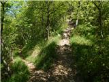 36
36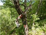 37
37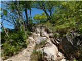 38
38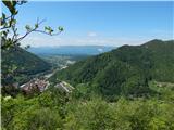 39
39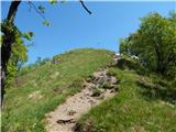 40
40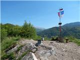 41
41 42
42
Discussion about the trip Tržič - Kamnek (Po Seili)
To post a comment you must log in:
If you do not yet have a username, you must first
register.