Tržič (Slap) - Kamnek (Po Seili)
Starting point: Tržič (Slap) (540 m)
Starting point Lat/Lon: 46.366°N 14.3169°E 
Path name: Po Seili
Time of walking: 55 min
Difficulty: partly demanding marked way
Difficulty of skiing: no data
Altitude difference: 333 m
Altitude difference (by path): 333 m
Map: Karavanke 1:50.000 - osrednji del
Access to starting point:
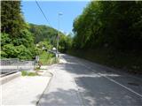
We drive to Tržič, and then we continue driving towards the gorge Dovžanova soteska. Still in Tržič, after the parish church and cemetery, which are right from the road, we turn left on a bridge over Tržiška Bistrica (before the bridge there is a sign, that vehicles above 8.5 tons are not allowed to cross the bridge). After the bridge there is the beginning of the described path, and we park at the appropriate place.
Path description:
From the bridge, we continue on the asphalt road which leads us past some buildings, and then it starts ascending diagonally towards the right. Few 10 meters further from the transformer we continue slightly left, on a cart track which ascends past gardens and after them passes into the forest. In the forest signs for Kamnek from the cart track point us slightly to the left, on the path which is at first ascending parallel with the cart track, and then turns left and it ascends diagonally to a few minutes distant crossing.
From the crossing, we continue on the left path in the direction of the path Po Seili (right - path via Ride). Next follows few minutes of a diagonal ascent, and then we reach the ridge, where the path turns right and it starts steeply ascending. The path ahead leads us also past the bench, and at the smaller crossing above the bench we continue on the ridge and then we get to technically demanding spot, where with the help of fixed safety gear we steeply ascend. When fixed safety gear end the path is for a short time still steep, and then it flattens and higher joins the path Radetzkyjeva pot, and then from the right joins also the other path from the hamlet Slap, namely the path via Ride.
This time as well we continue straight, and at the next crossing we go slightly right in the direction of Kamnek (slightly left path bypasses the peak). Next follows few minutes of steep walking and a more panoramic path brings us on Kamnek.
Description and pictures refer to a condition in the year 2017 (May).
Pictures:
 1
1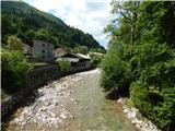 2
2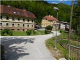 3
3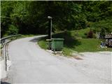 4
4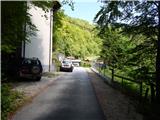 5
5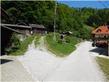 6
6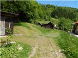 7
7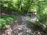 8
8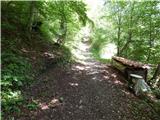 9
9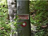 10
10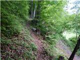 11
11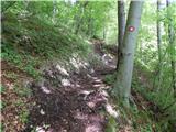 12
12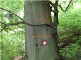 13
13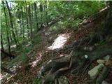 14
14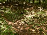 15
15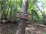 16
16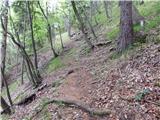 17
17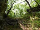 18
18 19
19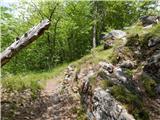 20
20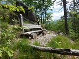 21
21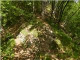 22
22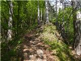 23
23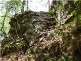 24
24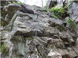 25
25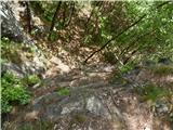 26
26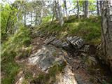 27
27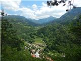 28
28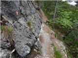 29
29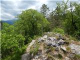 30
30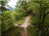 31
31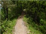 32
32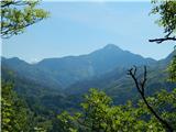 33
33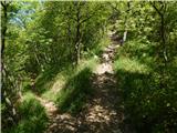 34
34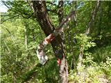 35
35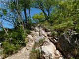 36
36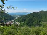 37
37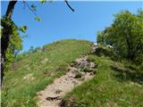 38
38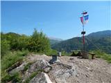 39
39 40
40