Unteralmhütte (Weneberger Alm) - Dachskofel (through mountain valley)
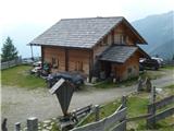
Starting point: Unteralmhütte (Weneberger Alm) (1838 m)
Path name: through mountain valley
Time of walking: 1 h 45 min
Difficulty: easy marked way
Difficulty of skiing: no data
Altitude difference: 535 m
Altitude difference (by path): 550 m
Map:
Access to starting point:
Caution: the road is in bad shape!
Drive to Irschen (Austria). The fastest way to Irschen is via the motorway to Špital and then on the regional road past the towns of Lendorf, Greifenburg and Dellach im Drautal all the way to Irschen. In Irschen, follow the signs for Weneberg and then for Wenebergeralm to the parking lot near Unteralmhütte. The last 6 kilometers of the road are in bad shape.
Path description:
First, walk to Unteralmhütte, behind which the hiking trail begins to ascend. The trail then descends, crosses a spring and ascends to the signposts, which direct us to the left.
The trail is scenic in the continuation, while it ascends and crosses a spring. Along the trail, you can find some luxurious wooden lounger. In short, after 45 minutes from the Unteralmhütte hut, the trail from Ochsnerhütte joins. Here keep left in the direction of Lamnitzsee. Soon another stream is crossed, then the trail becomes steeper and proceeds towards the mountain Scharnik. After 30 minutes from the last signposts, turn left following the signs for Lamnitzsee.
Follows 15 minutes of scenic walking to the summit, which offers wonderful views of the surroundings. It is recommended to also visit Lamnitz Lake (Lamnitzsee), which is located less than 100 meters below the summit.
Pictures:
 1
1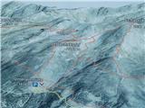 2
2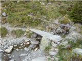 3
3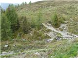 4
4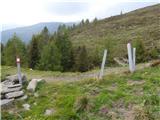 5
5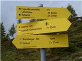 6
6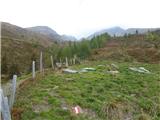 7
7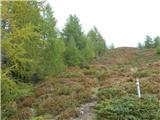 8
8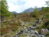 9
9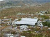 10
10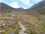 11
11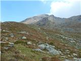 12
12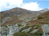 13
13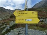 14
14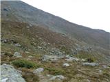 15
15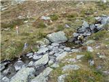 16
16 17
17 18
18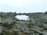 19
19 20
20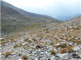 21
21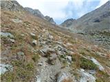 22
22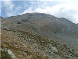 23
23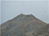 24
24 25
25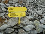 26
26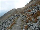 27
27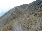 28
28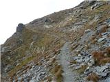 29
29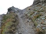 30
30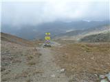 31
31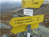 32
32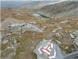 33
33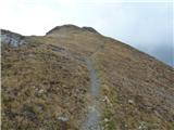 34
34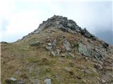 35
35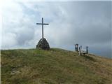 36
36 37
37 38
38 39
39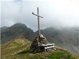 40
40 41
41 42
42