Unteralmhütte (Weneberger Alm) - Lamnitzsee (through mountain valley)
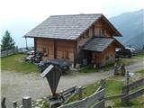
Starting point: Unteralmhütte (Weneberger Alm) (1838 m)
Path name: through mountain valley
Time of walking: 1 h 35 min
Difficulty: easy marked way
Difficulty of skiing: no data
Altitude difference: 455 m
Altitude difference (by path): 470 m
Map:
Access to starting point:
Caution: the road is in bad shape!
Drive to Irschen (Austria). The fastest way to Irschen is by motorway to Špital and then by regional road past the towns of Lendorf, Greifenburg and Dellach im Drautal to Irschen. In Irschen, follow the signs for Weneberg and then for Wenebergeralm to the parking lot near Unteralmhütte. The last 6 kilometers of the road are in bad shape.
Path description:
First, walk to Unteralmhütte, behind which the hiking trail begins to ascend. The trail then descends, crosses a spring and ascends to the signposts that direct us left.
The trail is scenic in the continuation, while it ascends and crosses a spring. Along the trail, one finds a luxurious wooden lounger. In short, 45 minutes from the Unteralmhütte hut the trail from Ochsnerhütte joins. Here, keep left towards Lamnitzsee. Soon another brook is crossed, then the trail becomes steeper and heads towards the mountain Scharnik.
After 30 minutes from the last signposts, turn left (right is Scharnik). Follow the more level trail to the signposts that direct us a few dozen meters lower to Lamnitz lake. A visit to Dachskofel peak is also recommended, about 10 minutes walk away.
Pictures:
 1
1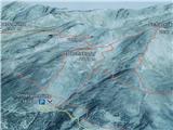 2
2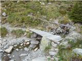 3
3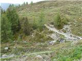 4
4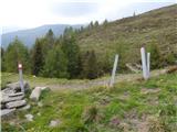 5
5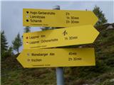 6
6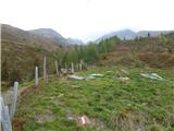 7
7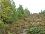 8
8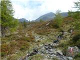 9
9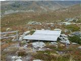 10
10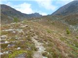 11
11 12
12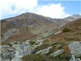 13
13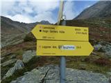 14
14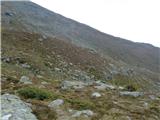 15
15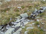 16
16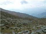 17
17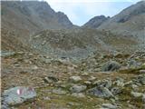 18
18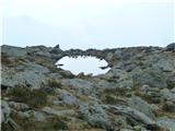 19
19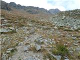 20
20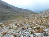 21
21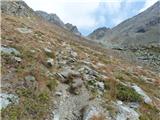 22
22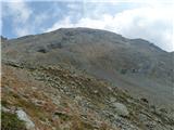 23
23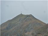 24
24 25
25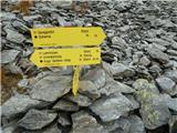 26
26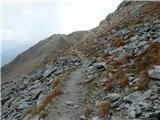 27
27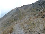 28
28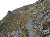 29
29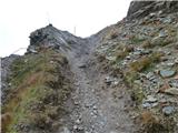 30
30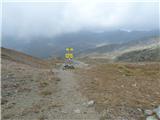 31
31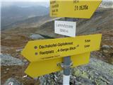 32
32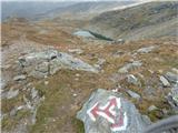 33
33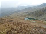 34
34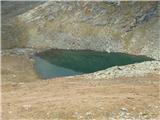 35
35