V Koncu - Skuta (via Gamsov skret)
Starting point: V Koncu (900 m)
Path name: via Gamsov skret
Time of walking: 5 h 15 min
Difficulty: very difficult unmarked way, difficult marked way
Difficulty of skiing: very demanding
Altitude difference: 1632 m
Altitude difference (by path): 1750 m
Map: Kamniške in Savinjske Alpe 1:50.000
Access to starting point:
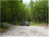
We drive to Kamnik and follow the road ahead towards the valley of Kamniška Bistrica. From the hut in Kamniška Bistrica we continue driving on the forest road which higher brings us to a crossroad, where we continue straight (right Jermanca, starting point for saddle Kamniško sedlo). The road then past the boulder Žagana peč brings us to the parking lot at the bottom cargo cableway station to a saddle Kokrsko sedlo.
Path description:
From the parking lot at the bottom station of the cableway, we continue on the road to »upper parking lot«. Here we will by the parking lot on the left side of the road notice two cart tracks. Left cart track which is marked with signs on a tree leads towards the saddle Kokrsko sedlo. And we go on the right cart track (this cart track is also on the left side of the road).
At first for some time we walk on the mentioned cart track from which also some side cart tracks branches off, after that cart track passes into a footpath. Further, we are for quite some time ascending on a narrow footpath through the forest. The path here all the time runs on the left side of the valley and so avoids steep rocky jump in bottom part of the valley.
When we come out of the forest, the path crosses little steeper slopes to the right and brings us on grassy slopes. Next follows an ascent on a grassy terrain, which brings us below the mountain walls of Kogel.
Here better beaten footpath turns left towards a wall, and we continue slightly right on a narrow footpath. The path on this part is quite poorly visible and runs on the left side of the torrent through the valley upwards. For orientation can serve clearly visible waterfall of the mentioned torrent (usually without water). The footpath already a little before the waterfall turns to the left and enter into a wall.
Here the path becomes very demanding and at first, we have to few meters climb on almost vertical slope upwards. Next follows an ascent on a narrow secured ledge, which crosses a slope to the right and brings us on steep grassy slopes. In spite of that, that the ledge is secured, the ascent is quite demanding. We also have to take into account, that fixed safety gear are usually in a little worse condition, as we are used to on a marked paths. Further, we are for some time ascending on quite steep grassy slopes, after that the slope becomes gradually less steep and the path brings us to unexpected bench from which is also a very nice view towards all sides.
Further, we are ascending on a grassy slope upwards all the way to a marked path Kokrsko sedlo - Kamniško sedlo.
Here we go left and we follow the marked path, which in gentle descents and ascents soon brings us to a crossing, where we continue right in the direction of Grintovec and Skuta (left bivouac 1 minute) on a relatively gently sloping path, which soon brings us to the next crossing. We continue right in the direction of Skuta (straight saddle Mlinarsko sedlo) on the path which over karst terrain of Veliki podi brings us to the foot of moderately steep wall. Here the path becomes much steeper and with the help of natural holds we get over a shorter wall between Dolgi hrbet and Štruca (in wet great risk of slipping). On the top of the ascent from the left joins the path from Dolgi hrbet. We continue right, where then in a gentle descent with the help of some iron spikes on the left side we bypass the peak of Štruca. The path ahead brings us on a small indistinct saddle between Štruca and Skuta, from which in 15 minutes on undemanding upper slope of Skuta we ascend to the summit.
V Koncu - Bivouac 3:15, Bivouac - Skuta 2:00.
Pictures:
 1
1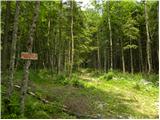 2
2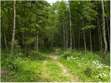 3
3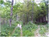 4
4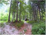 5
5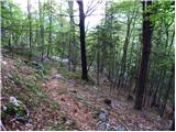 6
6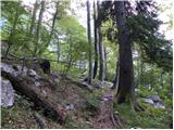 7
7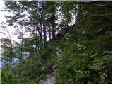 8
8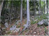 9
9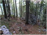 10
10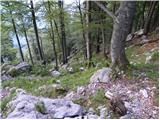 11
11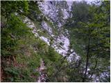 12
12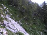 13
13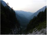 14
14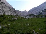 15
15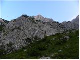 16
16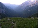 17
17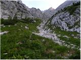 18
18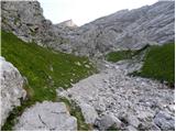 19
19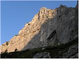 20
20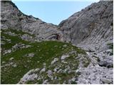 21
21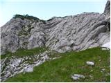 22
22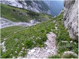 23
23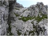 24
24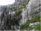 25
25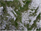 26
26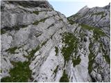 27
27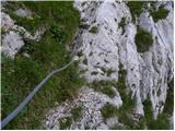 28
28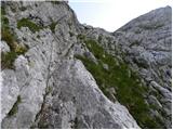 29
29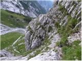 30
30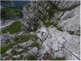 31
31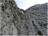 32
32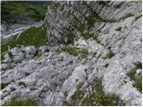 33
33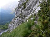 34
34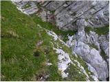 35
35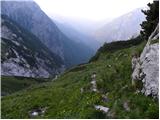 36
36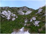 37
37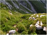 38
38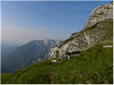 39
39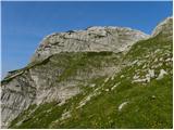 40
40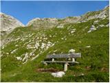 41
41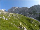 42
42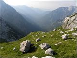 43
43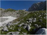 44
44 45
45 46
46 47
47 48
48 49
49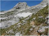 50
50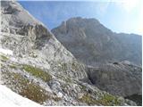 51
51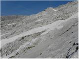 52
52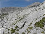 53
53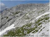 54
54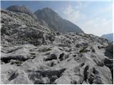 55
55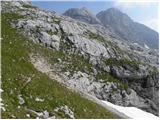 56
56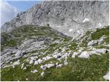 57
57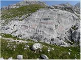 58
58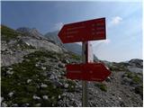 59
59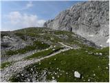 60
60 61
61 62
62 63
63 64
64 65
65 66
66 67
67 68
68 69
69 70
70 71
71 72
72