V Koncu - Skuta (via Žmavčarje)
Starting point: V Koncu (900 m)
Starting point Lat/Lon: 46.342°N 14.5682°E 
Path name: via Žmavčarje
Time of walking: 4 h 45 min
Difficulty: very difficult unmarked way
Difficulty of skiing: very demanding
Altitude difference: 1632 m
Altitude difference (by path): 1632 m
Map: Kamniške in Savinjske Alpe 1:50.000
Access to starting point:
We drive to Kamnik and follow the road ahead towards the valley of Kamniška Bistrica. From the hut in Kamniška Bistrica we continue driving on the forest road which higher brings us to a crossroad, where we continue straight (right Jermanca, starting point for saddle Kamniško sedlo). The road then past the boulder Žagana peč brings us to the parking lot at the bottom cargo cableway station to a saddle Kokrsko sedlo.
Driving from the mountain hut in Kamniška Bistrica to the parking lot V Koncu is now forbidden (traffic sign), this extends the path for a little less than an hour.
Path description:
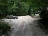
From the parking lot at the cargo cableway we continue on increasingly rough road which after 10 minutes of walking changes into a cart track. The cart track at a smaller boulder vegetated with a moss (big rock) turns right. Right at this spot, we leave the cart track and we continue straight (left Gamsov skret) on at first a poorly visible footpath which is later steeply ascending in zig-zags. Steep and in wet for slipping dangerous path leads us on steep slopes, which are on some spots secured with a steel cable. Steep path, which also crosses few gullies higher brings us to less steep slopes. After a good hour of walking, the path brings us out of the forest, where it starts to ascend steeply again. The path at first leads over grassy slopes surrounded by thin forest and then with the help of some fixed safety gear brings us level higher. The path ahead passes on gravel slopes, which makes the ascent a little more difficult, and then the path turns to the left on steep grassy slopes, which are rising above ample scree. On the top of this grassy part we go a little right and the path passes over from grass to high mountain terrain below Skuta. Further, on with cairns surrounded path in few minutes we come to a pleasant bivouac below Skuta.
From the bivouac, we continue on a poorly visible and still unmarked path on an indistinct small ridge, which after 15 minutes of walking from the bivouac brings us on a marked path Kamniško sedlo - Kokrsko sedlo. Here we continue right and already after few minutes we come to a crossing, where we go sharply left in the direction of Skuta (slightly left Rinke, straight Turska gora, Okrešelj and Kamniško sedlo). Further, the path is at first slightly ascending on rocky terrain below Rinke. The steepness is slowly increasing and the path brings us on the scree which we have to overcome. When we come to the top of the scree, we enter into the wall of Skuta. On the path we have fixed safety gear for help, mainly iron spikes. The path then brings us on a small ridge, where we get help from steel cables and then the path goes again into the wall. We again get help from iron spikes, which bring us on the upper part of Skuta. The steepness decreases a little and soon after that, we step on the summit.
V Koncu - Bivouac below Skuta 3:00, Bivouac below Skuta - Skuta 1:45.
Pictures:
 1
1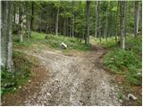 2
2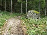 3
3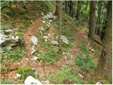 4
4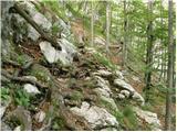 5
5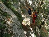 6
6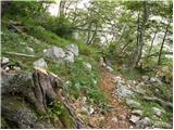 7
7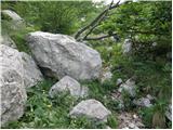 8
8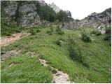 9
9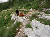 10
10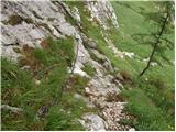 11
11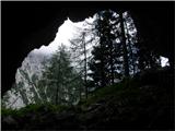 12
12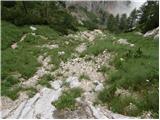 13
13 14
14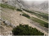 15
15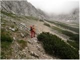 16
16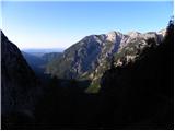 17
17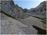 18
18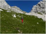 19
19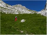 20
20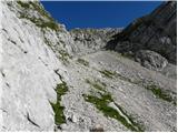 21
21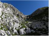 22
22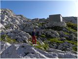 23
23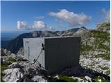 24
24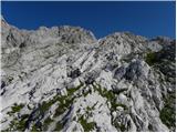 25
25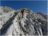 26
26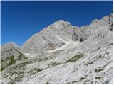 27
27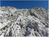 28
28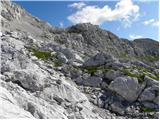 29
29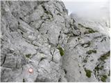 30
30 31
31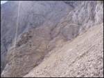 32
32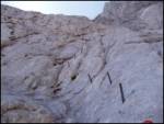 33
33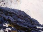 34
34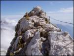 35
35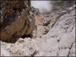 36
36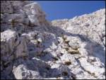 37
37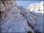 38
38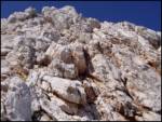 39
39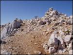 40
40