Vikrče - Grmada (via Zatrep)
Starting point: Vikrče (320 m)
Starting point Lat/Lon: 46.1285°N 14.4446°E 
Path name: via Zatrep
Time of walking: 1 h 15 min
Difficulty: easy marked way
Difficulty of skiing: no data
Altitude difference: 356 m
Altitude difference (by path): 356 m
Map: Ljubljana - okolica 1:50.000
Access to starting point:
A) From highway Ljubljana - Jesenice we go to the exit Ljubljana - Šmartno, and then we continue driving towards Tacen. In Tacen just before the road over a bridge crosses the river Sava we continue slightly right in the direction of Pirniče. Only a little after Ljubljana ends, we get to Vikrče, and we follow the road to the inn Kovač, which is located right next to a bus stop. At the starting point, there aren't any appropriate parking spots.
B) From Šentvid we drive to Tacen, there immediately after the bridge through the river Sava left towards Pirniče. Only a little after Ljubljana ends, we get to Vikrče, and we follow the road to the inn Kovač, which is located right next to a bus stop. At the starting point, there aren't any appropriate parking spots.
C) From Medvode we drive to Zgornje and then to Spodnje Pirniče, and we follow the road towards Tacen. When we get to Vikrče, we join the road which leads from Smlednik towards Tacen, and here we continue right and follow the road to the nearby inn Kovač, where there is a starting point our path. At the starting point, there aren't any appropriate parking spots.
D) To the starting point, we can also get with LPP bus number 15.
Path description:
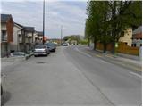
From the inn Kovač at first we walk by the road which leads towards Tacen, after the main road makes a light right turn, we continue slightly left on a narrower local road (by the crossroad is situated a sign prohibiting driving, near the signpost is also an information board of Forest teaching trail on Grmada). On a narrower asphalt road, we quickly get to a private parking lot, where the climbing path on Grmada branches off sharply to the left, and we continue straight and we follow the road to the sign with the caption private. Here we continue slightly left on a marked footpath which starts gently ascending through the forest. After a good 10 minutes of additional walking, we get to the next crossing, where we continue right in the direction of the path over Zatrep (left path Mazijeva steza on Grmada). Next follows few successive crossings, and on all of them we continue left in the direction of the path over Zatrep. When successive crossings ends, the path passes on steep slopes, through which it starts ascending steeper. During the ascent in main we cross the slopes towards the right, and the mentioned path we follow to the juncture with the path Romarska pot. On the mentioned path we go past the chapel, and then right before path brings us out of the forest on a saddle Sedlo, we continue left in the direction of Grmada. The path ahead starts ascending steeper through the forest and gradually brings us on a ridge covered with a forest, on which we then in few minutes ascend to the summit, from which a view opens up a little, mainly towards the south and southwest.
On the way: Sedlo (599m)
Pictures:
 1
1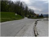 2
2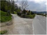 3
3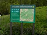 4
4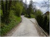 5
5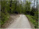 6
6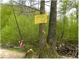 7
7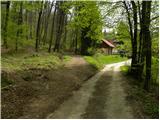 8
8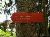 9
9 10
10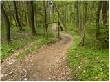 11
11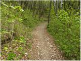 12
12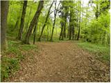 13
13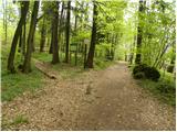 14
14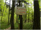 15
15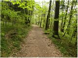 16
16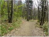 17
17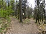 18
18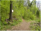 19
19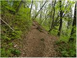 20
20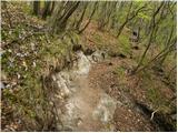 21
21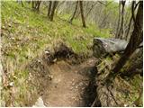 22
22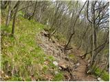 23
23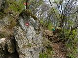 24
24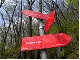 25
25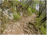 26
26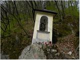 27
27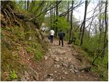 28
28 29
29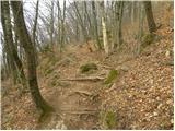 30
30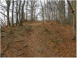 31
31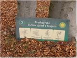 32
32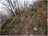 33
33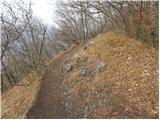 34
34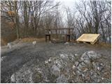 35
35 36
36 37
37