Višnja Gora - Sveti Duh (Polževo)
Starting point: Višnja Gora (371 m)
Starting point Lat/Lon: 45.9581°N 14.7413°E 
Time of walking: 1 h 30 min
Difficulty: easy marked way
Difficulty of skiing: no data
Altitude difference: 259 m
Altitude difference (by path): 300 m
Map:
Access to starting point:
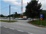
From the Ljubljana–Obrežje highway, take the Višnja Gora exit and drive towards the centre of the town. Just a few dozen metres further ahead from bar Kic bil, we will notice a larger marked parking lot on the left side, where we park.
Path description:
From the parking lot, we continue towards the centre of Višnja Gora, then at the first crossroads continue right in the direction of Polževo. A little further, at the next crossroads, we notice the first red mountain trail signs for Stari grad, which direct us onto the left road, which we leave a little further ahead and climb past a few houses to the other road, which we reach near the church. We continue through the old part of the town, then in front of the primary school Edo Turnher Primož, we notice the information board for the forest educational trail "po sledeh višnjanskega polža".
A little behind the school, the signs for Stari grad, Polževo and Jurčičeva pot direct us left, past a few houses, onto a path that enters the forest. Through the forest we begin to ascend more steeply along the cart track; after a few minutes we arrive at a marked junction, where the path leading past the ruins of Stari grad branches off to the right (the mentioned path is a good 5 minutes longer), and we continue straight ahead, still along the wide cart track. A little further, at a minor saddle, a path joins us from the right that leads past Stari grad, and we continue in the direction of Jurčičeva pot. This is followed by a traverse ascent along the cart track, from which some views open up temporarily; we leave the wide cart track at the right bend and continue straight along the forest educational trail. This is followed by a short ascent through the forest, then we reach an asphalt road, which we follow left in the direction of Polževo. We continue through Pristava along the path, which continues without major changes in elevation, and when the settlement ends, the asphalt also ends. This is followed by walking along the forest road, where we soon encounter a notice that we are entering a bear area.
When the forest ends we arrive at the next settlement Zavrtače, where the path first leads past a newer chapel, then past a few more houses. Here at the end of the village we continue right in the direction of Polževo, but a little after yet another notice that we are in a bear area, we continue left onto a footpath that leads us through a meadow into the forest. Through the forest, past a smaller older cottage, we return to the asphalt road, along which we continue with a gentle ascent all the way to the hotel Polževo.
On the right (western) side of the hotel is the Polževo ski slope; the marked path in the lower part crosses the ski slope to the right and passes along the lower right edge of the ski slope, where the marked path continues along the edge of the ski slope. Continuing on, we ascend moderately, and with every step nicer views open up on the surrounding hills. On the upper part of the ski slope the path turns left, then crosses a narrow strip of forest and brings us to a flat area left of the transmitters, where a little further left we notice the church of Sv. Duh; continuing straight along the marked path in the direction of Muljava, we arrive at the stamp just before the path begins to descend.
The description and photos refer to the conditions in 2016 (September).
Pictures:
 1
1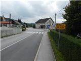 2
2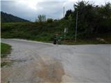 3
3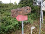 4
4 5
5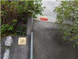 6
6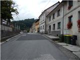 7
7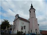 8
8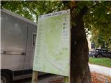 9
9 10
10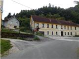 11
11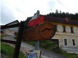 12
12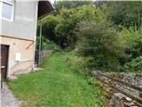 13
13 14
14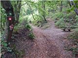 15
15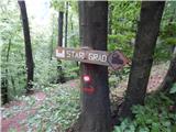 16
16 17
17 18
18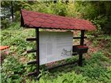 19
19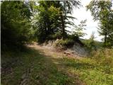 20
20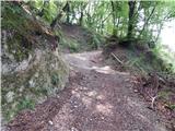 21
21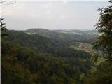 22
22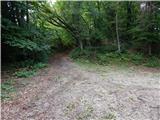 23
23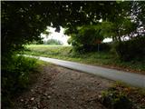 24
24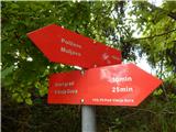 25
25 26
26 27
27 28
28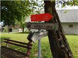 29
29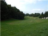 30
30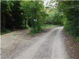 31
31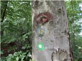 32
32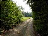 33
33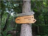 34
34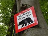 35
35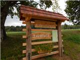 36
36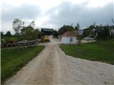 37
37 38
38 39
39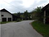 40
40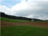 41
41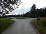 42
42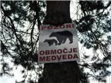 43
43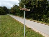 44
44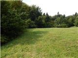 45
45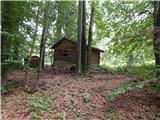 46
46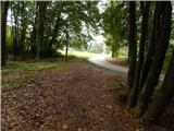 47
47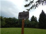 48
48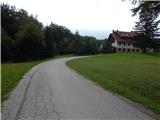 49
49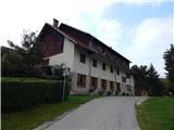 50
50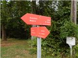 51
51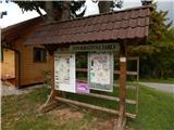 52
52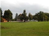 53
53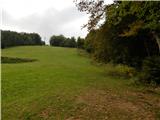 54
54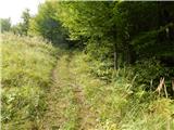 55
55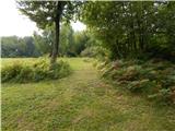 56
56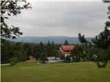 57
57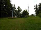 58
58 59
59 60
60 61
61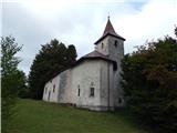 62
62 63
63