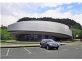
Starting point: Vitanje (462 m)
Starting point Lat/Lon: 46.3833°N 15.2971°E 
Time of walking: 4 h
Difficulty: easy marked way
Difficulty of skiing: easily
Altitude difference: 1055 m
Altitude difference (by path): 1055 m
Map: Pohorje 1:50 000
Access to starting point:
A) From highway Ljubljana - Maribor we go to the exit Slovenske Konjice, then we follow the road towards the mentioned settlement. From Slovenske Konjice we continue driving on a regional road towards Celje, and we follow it to the settlement Stranice, where at the roundabout, we turn right towards Vitanje. We follow the road to the mentioned settlement, where somewhere in the center of the settlement, we park on an appropriate place.
B) From the road Velenje - Slovenj Gradec at settlement Gornji Dolič we turn right (if we come from the direction Slovenj Gradec left) towards Vitanje. When we get to the mentioned settlement we park on an appropriate place in the middle of the settlement.
Path description:
We start in the center of Vitanje right next to KSEVT. We go on the street in the direction of north to the bridge over Hudinja, where a signpost points us further. We go past a smaller church on the left and at the bus stop we turn right into a small valley through which runs Hudinja.
We walk past the cemetery, which we see on the left and past few houses. We walk on the road about 1 km, and then we get to a turn, where we cross a stone bridge and we get to a sawmill. At this spot, the signpost on the apple tree points us right upwards. On the macadam road, we go only few meters and then we turn to the left on a footpath.
Signposts lead through the forest upwards. Higher, the path turns sharply to the left and goes through a dense spruce forest. For some time we are steeply ascending, and when we step out of the forest, a view opens up on Vitanje. For a short time, we are again in the forest and then through the pasture and past the chapel we go upwards across the road. Near the farm, the path turns right upwards, where we step on the road on which we go to a hamlet Sveti Vid.
In the middle of the forest there is a crossing (right - church of St. Vid (5 minutes)), and we turn left. Eventually, the macadam road at the big tree passes on asphalt, where we stick to the left direction. On this road we go approximately 500 meters and then signpost points us again to the left to the edge of the forest and near the houses upwards. We walk on the macadam road, near the farm, a signpost on a power line pole points us right upwards through the yard.
The path goes into the forest again on a deep forest cart track. And higher we step on a macadam road and we go right to a clearing, where we go left and again by the edge of the forest we go past holiday cottages upwards. Further, we walk through the forest, we cross the forest road, through deposit of schists (stone, which is used for roof tiles of churches and belfries). Over Ovčarjev vrh (1286 meters), where from the right side joins the path from the village Skomarje.
The path flattens, the terrain here is wet, that is why they call this settlement Luže. We go past apartment houses Janko in Metka, immediately after them we turn again to the left on a footpath. We are quickly gaining altitude, whereupon the steepness after few minutes decreases and from the left the path from Mislinja joins.
We step on the asphalt road Zreče-Rogla and we walk there approximately 15 minutes we get to the upper part of the recreation center Rogla, and from there to the top, it isn't far anymore. We go straight past the field and a chapel. On the edge of the field we turn left upwards, past a monument and space for picnics. The path further is slightly ascending, we follow the blazes and in additional 15 minutes we are at the lookout tower, where there is the highest point of Rogla (1517 meters).
Pictures:
 1
1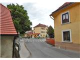 2
2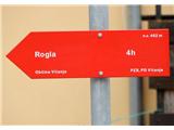 3
3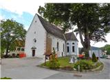 4
4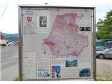 5
5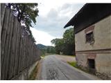 6
6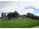 7
7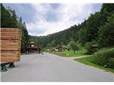 8
8 9
9 10
10 11
11 12
12 13
13 14
14 15
15 16
16 17
17 18
18 19
19 20
20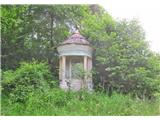 21
21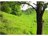 22
22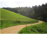 23
23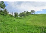 24
24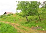 25
25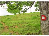 26
26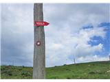 27
27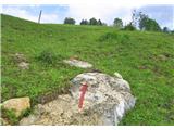 28
28 29
29 30
30 31
31 32
32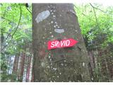 33
33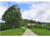 34
34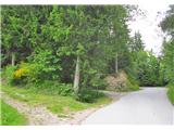 35
35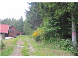 36
36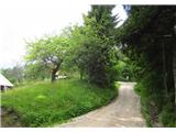 37
37 38
38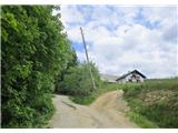 39
39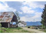 40
40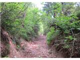 41
41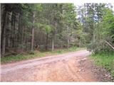 42
42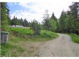 43
43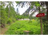 44
44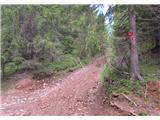 45
45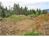 46
46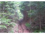 47
47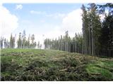 48
48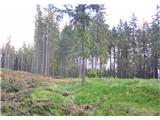 49
49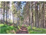 50
50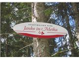 51
51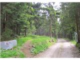 52
52 53
53 54
54 55
55 56
56 57
57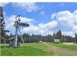 58
58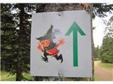 59
59 60
60 61
61