Starting point: Vitunj (370 m)
Time of walking: 2 h 45 min
Difficulty: difficult marked way
Difficulty of skiing: no data
Altitude difference: 811 m
Altitude difference (by path): 900 m
Map:
Access to starting point:
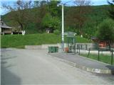
Highway Zagreb-Split we leave at the Ogulin exit. We drive through the town of Ogulin, and at the end of the settlement, we turn into the village of Puškarići (at the crossroad is the football field NK Dobra). We drive through Puškarići until we see the sign for the village of Vitunj. In Vitunj, we park in a suitable place.
Path description:
The path officially starts at the railway station in the village Hreljin Ogulinski, but from there to "our" starting point is approximately an hour of walking on asphalt.
In Vitunj we continue through the village to the last houses, where there are a few parking spots. The path ahead passes into an initially dense forest and leads us on a partly stone surface. After a few minutes of walking, we reach a smaller clearing, where the path turns sharply left and returns into the forest. We walk through a sparse forest and moderately to steeply ascend on an occasionally rockier path.
Higher up, a marked turn-off by the path indicates where we can go to the nearby castle Vitunjski grad. After the turn-off, the path, which has so far led towards the west, almost imperceptibly turns north, but only until a crossing of forest cart tracks, where it turns sharply left and brings us to the Kosa saddle (this part of the path is somewhat overgrown).
From the saddle, the path descends until we reach a well-maintained forest road, which we follow to the left.
We walk on the road for a few minutes, then a path from the Kamačnik peak joins from the right.
Here we leave the road and we continue left on a cart track. The cart track slightly descends, then we leave it and ascend through the forest. This section also has some rocky terrain, but the bigger issue is young spruce trees that are slowly overgrowing the path. A little higher, we reach the Klek ridge, along which the path continues.
The path along the ridge is mostly gentle, leading us through a few shorter ascents and descents. A little further, we reach the steep grassy terrain of Sladivojko, where an outstanding view opens up to the south and west.
After a short descent, we arrive at a more challenging section, where the ridge becomes narrower and exposed in some spots. Next follows a short rocky climb, which we can bypass on the right side. After the climb, the path returns to the ridge, then transitions to the western grassy slope, where it is slightly exposed.
The path ahead returns to the forest and brings us to a crossing, where a path branches off to the left towards the Klečice cliffs (ascents to Klečice are challenging and unmarked, but easy to follow).
After the crossing, we reach another very exposed meadow, through which we slightly descend. A little further, a path from the mountain cottage joins from the right, where the most difficult part of the path begins.
The path ahead ascends via steps, above which an outstanding view opens up. We continue left to the east and reach the most challenging part of the path.
This section is not secured with a steel cable but with a rope. Even after the fixed safety gear ends, we continue ascending for some time on a steep, exposed slope, but then the path finally flattens.
The path ahead leads us past a helicopter landing area, and we continue straight east along a narrow ridge, which is secured with steel cables in some parts. A little further, we arrive just below the summit, where, in a moderately challenging ascent, we climb to the top of Klek.
Pictures:
 1
1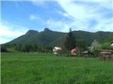 2
2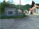 3
3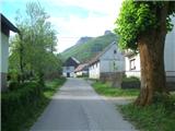 4
4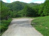 5
5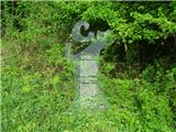 6
6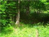 7
7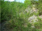 8
8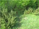 9
9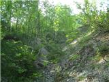 10
10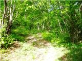 11
11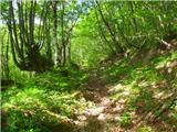 12
12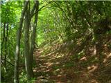 13
13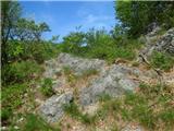 14
14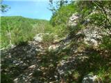 15
15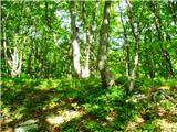 16
16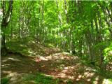 17
17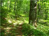 18
18 19
19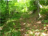 20
20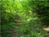 21
21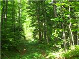 22
22 23
23 24
24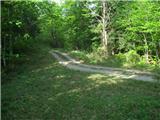 25
25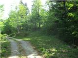 26
26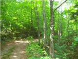 27
27 28
28 29
29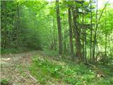 30
30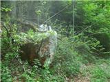 31
31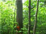 32
32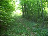 33
33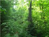 34
34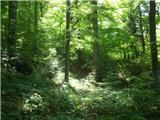 35
35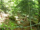 36
36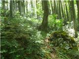 37
37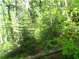 38
38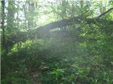 39
39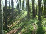 40
40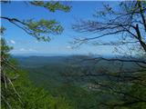 41
41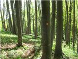 42
42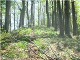 43
43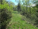 44
44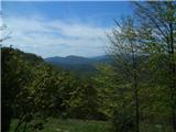 45
45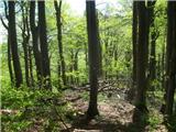 46
46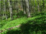 47
47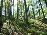 48
48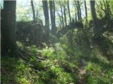 49
49 50
50 51
51 52
52 53
53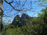 54
54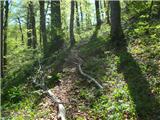 55
55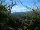 56
56 57
57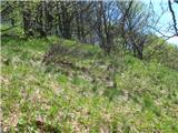 58
58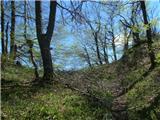 59
59 60
60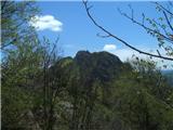 61
61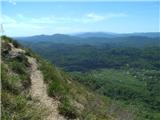 62
62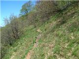 63
63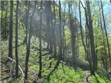 64
64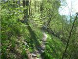 65
65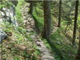 66
66 67
67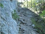 68
68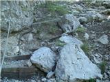 69
69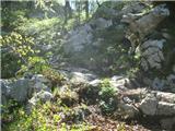 70
70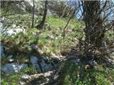 71
71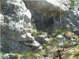 72
72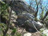 73
73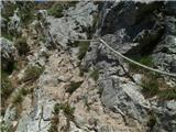 74
74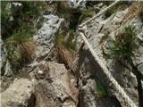 75
75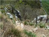 76
76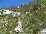 77
77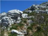 78
78 79
79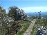 80
80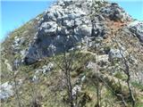 81
81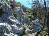 82
82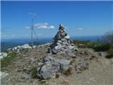 83
83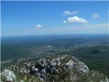 84
84