Vršič - Mala Mojstrovka (Hanzova pot)
Starting point: Vršič (1611 m)
Starting point Lat/Lon: 46.4336°N 13.7435°E 
Path name: Hanzova pot
Time of walking: 2 h 15 min
Difficulty: very difficult marked way
Ferrata: B/C
Difficulty of skiing: very demanding
Altitude difference: 721 m
Altitude difference (by path): 721 m
Map: TNP 1 : 50.000, Kranjska Gora 1:30.000
Access to starting point:
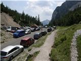
From Kranjska Gora, we drive towards Bovec or vice versa, but only to mountain pass Vršič, where we park.
Path description:
From the parking lot on Vršič we go on at first badly marked path which leads on Mojstrovka and Sleme. After a short ascent, the path brings us to bigger rock on which we notice a sign Mojstrovka left. We continue right in the direction of Slemenova špica and Hanza route on Mojstrovka. The path ahead ascends diagonally by the foot of Šitna glava, after that from the right joins the path from the mountain hut Erjavčeva koča. Next follows a short steep ascent and the path brings us on a saddle Vratca (1807 meters), where we come to the next crossing. We continue left in the direction of Mojstrovka (straight Slemenova špica) on the path which runs below the mountain walls of Šitna glava. After few 10 strides of additional walking Hanza route on Mala Mojstrovka branches off to the left upwards (straight Slemenova špica on an unmarked path). The path ahead with the help of numerous iron spikes steeply ascends and higher brings us to first steel cables, which are then our "permanent" companion. Still very well secured path then leads us on exposed ledges and gullies steep upwards. The path which is exposed to falling stones gradually flattens and from the left joins an unmarked path from Šitna glava. After additional few minutes steepness additionally decreases and the path brings us on more plain terrain, which we bypass on the right side. Further, the path gets closer to the ridge and in front of us, we notice Mangart and Jalovec. Here the path turns slightly left and it brings us to steep part of the path. With the help of some iron spikes, and mainly without fixed safety gear we ascend on a steep upper slope of Mala Mojstrovka to its panoramic summit.
On the way: Vratca (1807m)
Pictures:
 1
1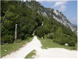 2
2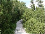 3
3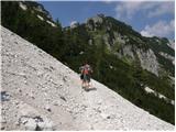 4
4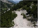 5
5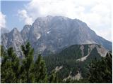 6
6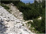 7
7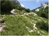 8
8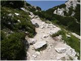 9
9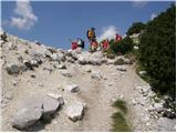 10
10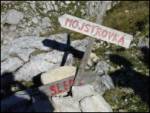 11
11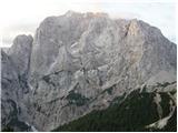 12
12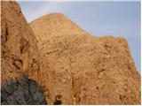 13
13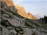 14
14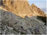 15
15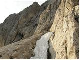 16
16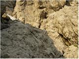 17
17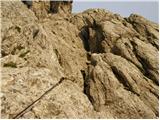 18
18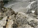 19
19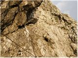 20
20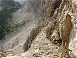 21
21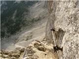 22
22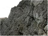 23
23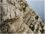 24
24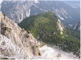 25
25 26
26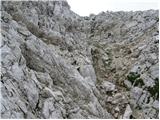 27
27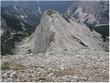 28
28 29
29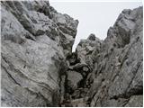 30
30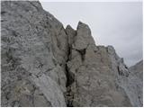 31
31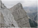 32
32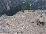 33
33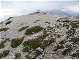 34
34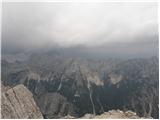 35
35