Vuzenica - Koča pod Kremžarjevim vrhom
Starting point: Vuzenica (342 m)
Starting point Lat/Lon: 46.59815°N 15.16381°E 
Time of walking: 3 h 50 min
Difficulty: easy marked way
Difficulty of skiing: no data
Altitude difference: 760 m
Altitude difference (by path): 925 m
Map: Pohorje 1:50.000
Access to starting point:
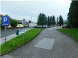
From the road Maribor - Dravograd, at the traffic light intersection we turn towards Vuzenica. Through Vuzenica we follow the main road, driving to the marked parking lot by the cemetery.
Path description:
From the parking lot, we continue along the road ahead, either on it or on the sidewalk, and quickly reach the railway bridge, where a path first branches off to the left towards the cottage Planinc, and on the other side of the stream Cerkvenica, another path leads towards Kremžarjev vrh or the cottage Koča pod Kremžarjevim vrhom.
We continue in the direction of Kremžarjev vrh, following a narrower asphalt road that ascends above Vuzenica, offering a beautiful view of the settlement for a while. Higher up, the road enters the forest, through which it partly continues, and partly runs between individual houses and farms. Higher up, the asphalt ends, and the path descends slightly in some sections. After the farm Razbornik, a poorly marked path splits, and we continue slightly to the left, ascending past the farm, a grazing fence, and a chapel into the forest. Through the forest, we ascend diagonally to the right, and somewhere in the middle of the forest, a slightly overgrown path branches off to the left, which steeply ascends to the church of St. John the Baptist, from where a beautiful view opens up on Pohorje.
From the church, we descend towards the south, and when the path flattens, it leads us past the farm Levovnik, where we step onto a macadam road. We quickly reach a crossroad, where we go left upwards (right downwards to Dravče). Further on, the path leads us past a few more individual farms, and at several crossroads, we follow the blazes. The path continues with some ascents and descents, and occasionally, beautiful views open up from the path. Crossroads become more frequent, but we continue to follow the blazes or signs for Kremžarjev vrh.
When we reach the crossroad at the chapel, we continue straight along an ascending macadam road, heading towards the farm Pristovnik. Just before the farm, we turn left onto a footpath that ascends through a meadow. The path then enters the forest, where it continues along a cart track, and higher up, we reach a macadam road, which we follow to the right. The path ahead leads us past a farm, where we follow the blazes. The path first turns into a rougher road and then into a cart track. Further on, the blazes become somewhat more frequent, making it easier to choose the correct path at crossings. Higher up, the path transitions into a mountain footpath and gradually moves onto a grassy slope, where we cross a scenic slope to the right.
When we reach the path between Koča pod Kremžarjevim vrhom and Kremžarjev vrh, we continue right downwards and quickly arrive at an interesting chapel. We bypass the chapel on the right side (sharply left to the cottage Planinc), and in a few minutes, we reach the cottage Koča pod Kremžarjevim vrhom, from where a beautiful view opens up towards the Karawanks.
Vuzenica - Sveti Janez 1:25, Sveti Janez - Koča pod Kremžarjevim vrhom 2:25.
The description and pictures refer to the condition in June 2023.
Pictures:
 1
1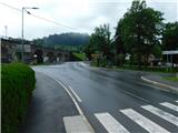 2
2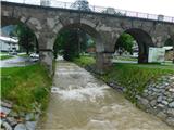 3
3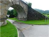 4
4 5
5 6
6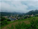 7
7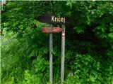 8
8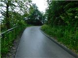 9
9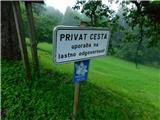 10
10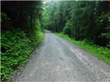 11
11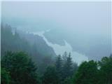 12
12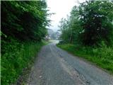 13
13 14
14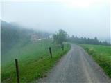 15
15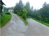 16
16 17
17 18
18 19
19 20
20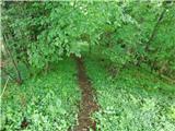 21
21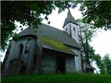 22
22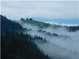 23
23 24
24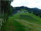 25
25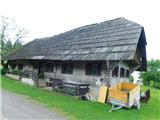 26
26 27
27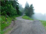 28
28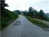 29
29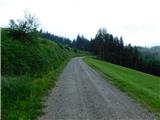 30
30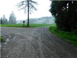 31
31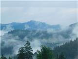 32
32 33
33 34
34 35
35 36
36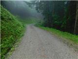 37
37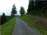 38
38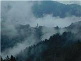 39
39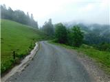 40
40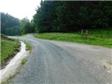 41
41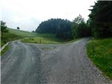 42
42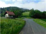 43
43 44
44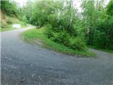 45
45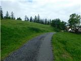 46
46 47
47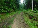 48
48 49
49 50
50 51
51 52
52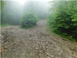 53
53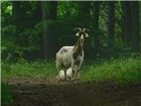 54
54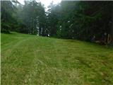 55
55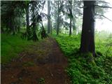 56
56 57
57 58
58 59
59 60
60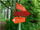 61
61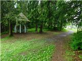 62
62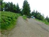 63
63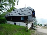 64
64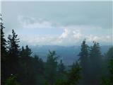 65
65