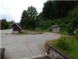
Starting point: Zadraga (469 m)
Starting point Lat/Lon: 46.313°N 14.2942°E 
Time of walking: 1 h
Difficulty: easy marked way
Difficulty of skiing: no data
Altitude difference: 59 m
Altitude difference (by path): 90 m
Map: Karavanke - osrednji del 1:50.000
Access to starting point:
We leave Gorenjska highway at exit Naklo, and then we follow the signs for Spodnje and Zgornje Duplje. After the settlement Zgornje Duplje we get to Zadraga, where by the bus stop and turning point for buses the described path begins.
Path description:
At the starting point, there is a cave Dopulnik (also Dupulnek), and the path starts a little left from the cave and it starts ascending at first on a little overgrown part, and then passes into the forest, where we follow the signs for learning path Kriva jelka. Higher follows a few successive crossings, where we carefully follow the signs, and on the part where we walk on the macadam road, there is a nice view towards Dobrča and Julian Alps in the background.
A little further, we reach a wider macadam road, where for some time we join the path Pot Treh zvonov, from it we go a little further at the sign sharply right on a forest footpath. There follows quite an easy walk with some shorter ascents and descents, and then we return to the macadam road, where we still follow the known signs.
On the part where from the right the path from the settlement Zgornje Duplje joins us, we continue slightly left, at the next marked crossing, to which we arrive after a few minutes of further walking, we go left (right Vogvarjeva hiša and Grad) and we continue walking on the macadam road.
The road then leads us past the crossroad, where to the right branches off the path towards the NOB monument in Želin, and we continue straight and past the koče rokovnjačev we quickly arrive at Kriva jelka, where there are some information boards.
Description and pictures refer to the condition in the year 2019 (June).
Pictures:
 1
1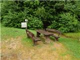 2
2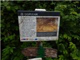 3
3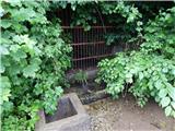 4
4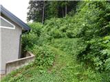 5
5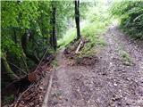 6
6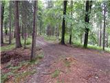 7
7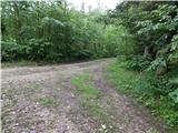 8
8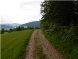 9
9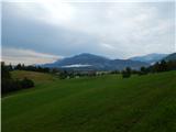 10
10 11
11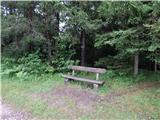 12
12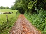 13
13 14
14 15
15 16
16 17
17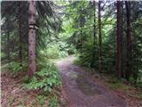 18
18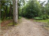 19
19 20
20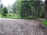 21
21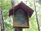 22
22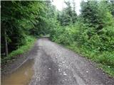 23
23 24
24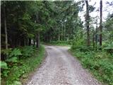 25
25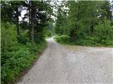 26
26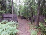 27
27 28
28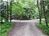 29
29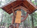 30
30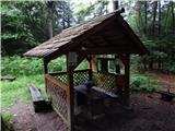 31
31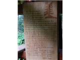 32
32