Zagreben (pri Dikcu) - Gozdnik
Starting point: Zagreben (pri Dikcu) (670 m)
Starting point Lat/Lon: 46.1876°N 15.1614°E 
Time of walking: 1 h 30 min
Difficulty: easy marked way
Difficulty of skiing: no data
Altitude difference: 420 m
Altitude difference (by path): 465 m
Map: Posavsko hribovje - zahodni del 1:50.000
Access to starting point:
From highway Ljubljana - Maribor we go to the exit Žalec and then we drive towards Arja vas. At the crossroad at the end of the village, we continue straight in the direction of Liboje. Further, we drive through the village Liboje and then we drive on the road which starts ascending. Eventually, the road brings us to a crossroad, where we continue straight (right Beškovnik). And a little ahead we come to the next crossroad, by which we park (we recognize the crossroad at the sign on the left road which prohibits further driving).
Path description:
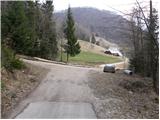
From the parking lot, we continue on the left asphalt road which is closed for traffic. The road soon becomes a macadam and it brings us to a crossroad, where we continue right in the direction of Kal and Mrzlica (left - mountain hut Dom na Šmohorju 30 minutes) and we continue on a bit narrower macadam road which past a religious symbol and a well brings us to the next crossroad, where we continue straight. The road then flattens and after few 10 meters brings us to the spot, where signs for Kal, Mrzlica and Gozdnik point us to the right on an ascending cart track. The path ahead leads us past NOB monument, after which we soon get to the next crossing. This time we continue right in the direction of Gozdnik (slightly left downwards Mrzlica), and we continue on a cart track to the spot, where the forest gets a little thinner. Here a narrower cart track branches off to the right, by which we soon notice blazes, and gradually it changes into a footpath. The path ahead for a short time steeply ascends, and then it flattens and gradually brings us on the ridge of Mali Gozdnik. Next follows a walk on at first a gentle ridge and then the path steeply ascends and it quickly brings us on an indistinct peak of Mali Gozdnik.
Next follows a short descent and the path brings us on a small saddle between the both peaks of Gozdnik. The path ahead gradually starts ascending steeper and steeper, and it leads on a relatively steep and mainly in wet for slipping dangerous ridge. The path higher flattens and in few minutes of additional walking brings us to the summit, in the middle of which there is a wooden bivouac.
On the way: Mali Gozdnik (981m)
Pictures:
 1
1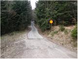 2
2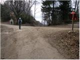 3
3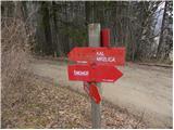 4
4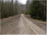 5
5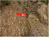 6
6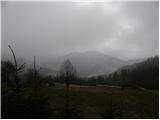 7
7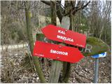 8
8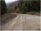 9
9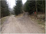 10
10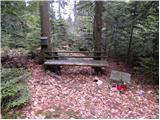 11
11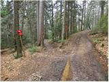 12
12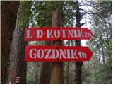 13
13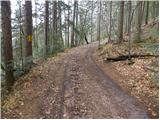 14
14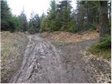 15
15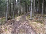 16
16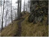 17
17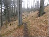 18
18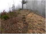 19
19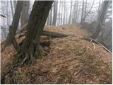 20
20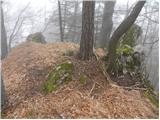 21
21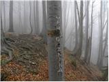 22
22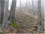 23
23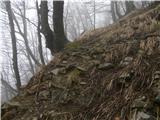 24
24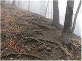 25
25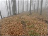 26
26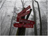 27
27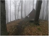 28
28 29
29