Starting point: Zavrate (552 m)
Starting point Lat/Lon: 46.1611°N 15.1522°E 
Time of walking: 1 h 20 min
Difficulty: partly demanding marked way
Difficulty of skiing: demanding
Altitude difference: 303 m
Altitude difference (by path): 350 m
Map: Posavsko hribovje - zahodni del 1:50.000
Access to starting point:
First, we drive to Laško, and then we continue driving in the direction of village Spodnja and Zgornja Rečica and Huda jama. In the village Zgornja Rečica we come to the unmarked crossroad, where we continue on the left road which we then follow to the saddle Zavrate, which we recognize by numerous mountain signposts and a log cabin by which there is an entrance into the mine Barbara rov (it is one of the entrances into the mine).
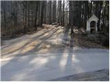
To the starting point, we can also come from Zasavje, if from Hrastnik we drive towards Rimske Toplice and Laško. When the road which leads from Hrastnik towards Laško starts descending, we will notice signs for village Sedraž, which point us to the left. After a little less than 100 meters of additional driving, we come to a crossroad, where we continue straight in the direction of village Brezno (left Brdce, right Sedraž). An ascending road soon brings us in Brezno, where we come to the unmarked crossroad. We continue left and follow the road ahead to a saddle Zavrate, where we park.
Path description:
From the saddle Zavrate we go on a footpath in the direction of Baba and Ostri vrh. The path at first leads past a log cabin "Pri knapu pod Babo", and then continues on at first a gentle cart track. After few minutes of easy walking we notice a signpost, which points us left on a well-beaten footpath which starts ascending steeper and steeper. Higher, the path becomes so steep, that we have fixed safety gear for help, which in dry aren't necessary (in wet a great risk of slipping). This very steep and well-made path, we then follow to the peak of Baba.
From the top, we continue on a marked ridge path, which at first starts descending, and then it starts ascending by the edge of a very steep and in wet for slipping dangerous slopes. The path which occasionally relatively steeply ascends after approximately 40 minutes of walking from Baba brings us on Ostri vrh.
Pictures:
 1
1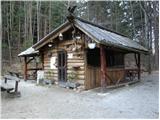 2
2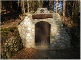 3
3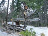 4
4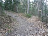 5
5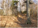 6
6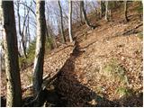 7
7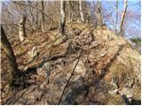 8
8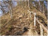 9
9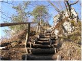 10
10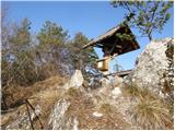 11
11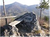 12
12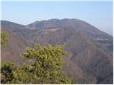 13
13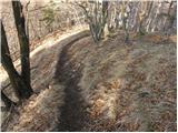 14
14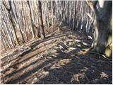 15
15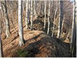 16
16 17
17 18
18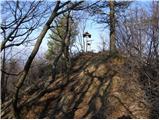 19
19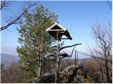 20
20