Železniki - Prtovč (via Draoboslovica)
Starting point: Železniki (458 m)
Starting point Lat/Lon: 46.2205°N 14.1555°E 
Path name: via Draoboslovica
Time of walking: 1 h 45 min
Difficulty: easy marked way
Difficulty of skiing: no data
Altitude difference: 553 m
Altitude difference (by path): 570 m
Map: Škofjeloško in Cerkljansko hribovje 1:50.000
Access to starting point:
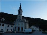
We drive to the parish church of St. Anton in Železniki, where we park on a marked asphalt parking lot between the church and the main road. The church is located few 100 meters further from the company Domel, in the direction towards Zali Log.
Path description:
From the parking lot, we go towards the entrance into the church, and a little left from the church we notice stairs, by which there is caption Antonov vrtec (kindergarten). We ascend on stairs, and on the top of the stairs we go right. The kindergarten and some houses we bypass on the left side, and we ascend on a cart track to a crossing at the hunting observatory.
From the crossing, we go right (left - path on a cart track, on which it is also possible to come on Prtovč), and a little ahead we notice the next blaze. On the meadow, the path entirely vanishes, and on the tree a little higher we notice the next blaze, from which we continue uphill, at first by the edge of the forest and then through the forest, where the footpath appears again, and then we quickly reach a little wider footpath. Next follows an ascent on the mentioned footpath which is quite steeply ascending through the forest. Higher, the path flattens and brings us on a cart track, where it splits.
We continue right in the direction of Draboslovica (on some maps Droboslovica) and we for some time continue on a gentle and wide cart track.
When we reach Draboslovica, we bypass the house on the left side, and the cart track on which we are ascending after the nearby hayrack we leave and we continue right on a marked cart track. Here the path again flattens and leads us around the hill Draboslovski grič (884 meters). On the other side of the hill for some time we step out of the forest, where the path leads us by the right edge of a meadow, and then with occasional views on Ratitovec we start lightly descending. The path ahead brings us to a macadam road, and there in few steps we descend to an asphalt road which leads towards the village Prtovč. Further, we are ascending on the northern slopes of Štedel vrh (1145 meters), and when we reach the ridge, from the left joins also a marked path from Jesenovec and also the other paths from our starting point. Next follows only a short panoramic walk and we reach the village Prtovč, where there is a church and some houses.
Description and pictures refer to a condition in the year 2018 (May).
On the way: Draboslovica (780m)
Pictures:
 1
1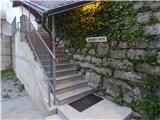 2
2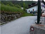 3
3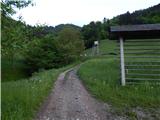 4
4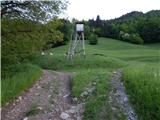 5
5 6
6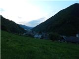 7
7 8
8 9
9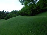 10
10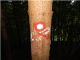 11
11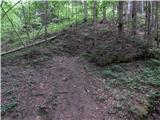 12
12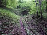 13
13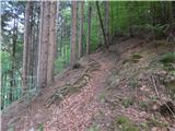 14
14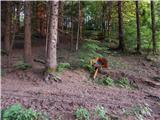 15
15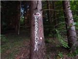 16
16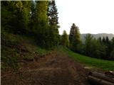 17
17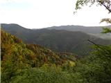 18
18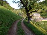 19
19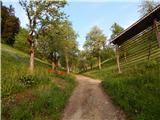 20
20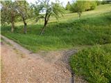 21
21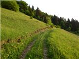 22
22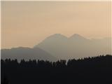 23
23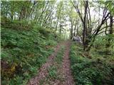 24
24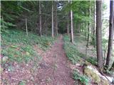 25
25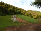 26
26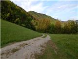 27
27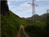 28
28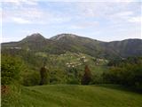 29
29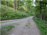 30
30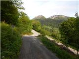 31
31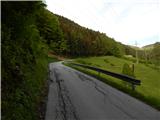 32
32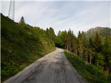 33
33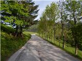 34
34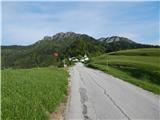 35
35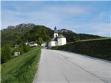 36
36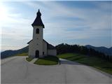 37
37