Žerjav - Koča na Naravskih ledinah
Starting point: Žerjav (580 m)
Starting point Lat/Lon: 46.4819°N 14.8995°E 
Time of walking: 1 h 30 min
Difficulty: easy marked way
Difficulty of skiing: no data
Altitude difference: 492 m
Altitude difference (by path): 492 m
Map: Kamniške in Savinjske Alpe 1:50.000
Access to starting point:
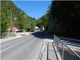
A) First, we drive to Šoštanj (to here from Velenje or valley of Savinjska dolina), and then we continue driving towards Črna na Koroškem. Further, the road starts ascending towards the mountain pass Spodnje Sleme (1081 meters), which after few kilometers of winding road we also reach. Next follows a descent through the valley of Javorski potok to Črna na Koroškem, where at the roundabout in the center of the settlement (roundabout in the middle of which is a monument, nearby the bus stop and parish church of St. Ožbalt) we continue right in the direction of Žerjav. Further, we drive past the mining museum and then through the valley Mežiška dolina towards Žerjav. In Žerjav after the factory TAB MPI and after Petrol gas station we cross the bridge over the river Meža, and right behind the bridge we continue right on a little narrower asphalt road in the direction of Uršlja gora, Jazbina and Žerjav. The path ahead leads us past a smaller Mercator store and succursal primary school, and then it is barely ascending through the valley of the stream Jazbinski potok. When the settlement Žerjav ends, we get to a crossroad, where on an appropriate place few meters before the crossroad we park. From the crossroad in the direction towards the left continues the road towards Kristavčnik and footpath towards Naravske ledine and Uršlja gora, in the direction of straight continues worse cart track towards Jazbina, and to the right road towards the homestead Mrdavšič.
B) First, we drive to Ravne na Koroškem (to here from Dravograd or Slovenj Gradec, and then we continue driving in the direction of Mežica and Črna na Koroškem. When we get to the settlement Žerjav (Žerjav is a settlement between Mežica and Črna na Koroškem), just before the main road crosses the river Meža we continue left in the direction of Uršlja gora, Jazbina and Žerjav. The path ahead leads us past a smaller Mercator store and succursal primary school, and then it is barely ascending through the valley of the stream Jazbinski potok. When the settlement Žerjav ends, we get to a crossroad, where on an appropriate place few meters before the crossroad we park. From the crossroad in the direction towards the left continues the road towards Kristavčnik and footpath towards Naravske ledine and Uršlja gora, in the direction of straight continues worse cart track towards Jazbina, and to the right road towards the homestead Mrdavšič.
Path description:
From the starting point, we continue on the left road which continues through the valley of Jazbinski potok. After the small bridge, the road loses an asphalt covering (May 2014), after that about 15 minutes we walk by the mentioned stream, where we get to a smaller crossroad. Signs for Naravske ledine and Uršlja gora point us to the left on a narrower macadam road which starts ascending a little steeper. Further, the road leads us past the homestead Krstavčnik and past few more smaller cottages, and then it crosses a stream and behind it, it starts ascending steeper. In two zig-zags the road ascends quite high above the stream and then past the hunting observatory brings us to a marked crossing, by which there are also a table and two benches.
From the crossing, we continue on the right marked path, and few 10 meters further it again splits into two parts. We again continue slightly right (turn-off is marked with an arrow on a tree), and then we are ascending a little steeper through the forest. Few minutes higher we reach an interesting small ridge, which leads us above two streams. Small ridge, which is on the right side covered with a forest, and on the left it is crumbly and it is descending towards the nearby stream, we soon leave because the path turns a little to the right, where it is ascending diagonally through the forest. After a shorter traversing, we reach a small valley, and then we ascend there to the edge of the forest, where there is a marked crossing.
From the crossing, we continue right (left cottage Prežihova bajta, Ravne na Koroškem and Prevalje), and then on the path which runs by the edge of a larger meadow in 5 minutes we get to the mountain hut Koča na Naravskih ledinah.
Pictures:
 1
1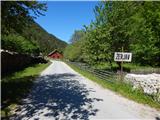 2
2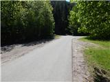 3
3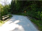 4
4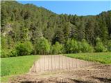 5
5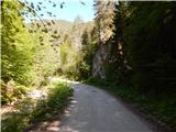 6
6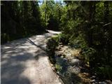 7
7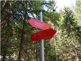 8
8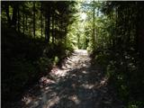 9
9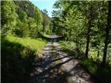 10
10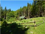 11
11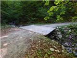 12
12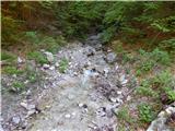 13
13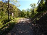 14
14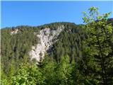 15
15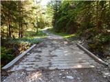 16
16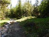 17
17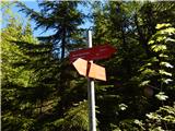 18
18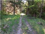 19
19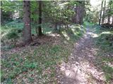 20
20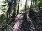 21
21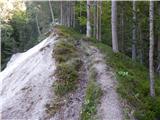 22
22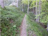 23
23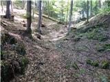 24
24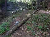 25
25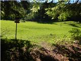 26
26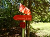 27
27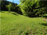 28
28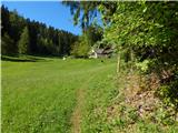 29
29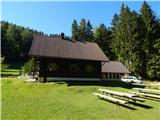 30
30