Zgornja Bistrica (Center Vintgar) - Šum waterfall (Bistriški vintgar)
Starting point: Zgornja Bistrica (Center Vintgar) (320 m)
Starting point Lat/Lon: 46.40214°N 15.54226°E 
Time of walking: 1 h
Difficulty: easy marked way
Difficulty of skiing: no data
Altitude difference: 270 m
Altitude difference (by path): 300 m
Map: Pohorje 1:50.000
Access to starting point:
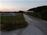
We drive to the center of Slovenska Bistrica, from where we go on the road in the direction of Zgornja Bistrica and Bistriški Vintgar. We further follow the signs for Bistriški Vintgar, and we park on the settled parking lot at Center Vintgar.
Path description:
From the parking lot at Center Vintgar we return to the road and we continue in the direction of Bistriški Vintgar. For a short time, we walk on the road or sidewalk, and then a path branches off to the left towards Trije kralji (path via Veliko Tinje), and we still continue on a sidewalk. Further, the sidewalk ends, and we continue on the road to the next parking lot, where there are red hiking signposts (to here 20 minutes).
We continue on a wider path which leads towards Bistriški vintgar, and at the spot where we leave the road there are signs for Roman quarry and Šmartno na Pohorju.
The path ahead is still gently ascending, and when over a small bridge we get to the right bank of Bistrica, the path becomes gradually slightly steeper.
Before the path turns a little to the left and passes on a slope, on the right we notice Roman quarry, and then we are ascending diagonally on an increasingly steep slope. On the mentioned part we get to a smaller crossing, where we continue right on a narrower path in the direction of waterfall Šum (slightly left Sveti Trije kralji and Ančnikovo gradišče). Next follows traversing of a steeper slope, on which we walk mostly in a gentle to moderate descent. During the crossing on a shorter part, mainly in wet there is a greater danger of slipping. Lower, the path flattens and we quickly get below the waterfall Šum.
Description and pictures refer to a condition in July 2022.
Pictures:
 1
1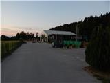 2
2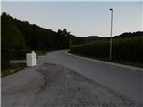 3
3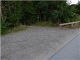 4
4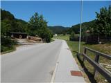 5
5 6
6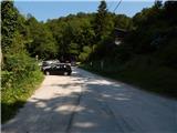 7
7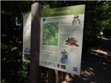 8
8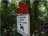 9
9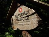 10
10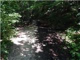 11
11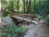 12
12 13
13 14
14 15
15 16
16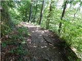 17
17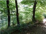 18
18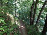 19
19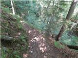 20
20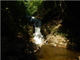 21
21