Zgornja Ščavnica (Mlin Rožman) - Sveta Ana v Slovenskih goricah
Starting point: Zgornja Ščavnica (Mlin Rožman) (250 m)
Starting point Lat/Lon: 46.6571°N 15.85954°E 
Time of walking: 30 min
Difficulty: easy marked way
Difficulty of skiing: no data
Altitude difference: 108 m
Altitude difference (by path): 115 m
Map:
Access to starting point:
We leave Pomurska highway at exit Lenart v Slovenskih goricah, and then we follow the road towards Austria or settlement Cmurek / Mureck. When we get into the valley of river Ščavnica at the marked crossroad we leave the main road and we continue right in the direction of Zgornja Ščavnica and Sveta Ana. Further, we drive through the valley of Ščavnica and past occasional houses of the settlement Zgornja Ščavnica, where at the crossroads we follow the main road. After the bridge over the river Ščavnica we leave the main road towards Sveta Ana and we continue left towards Črnci. When we get to a crossroad, where a road branches off to the right towards mill Mlin Rožman we are at the beginning of the described path. We park on an appropriate place somewhere nearby.
Path description:
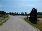
At the crossroad, we notice signs for path Anina pot, which point us on a side road, where before the bridge over the river Ščavnica we get to Mlin Rožman, which is situated right from the marked path. We continue over the bridge, and at the nearby crossroad, where in the middle of the crossroad there are signposts, bench and trash can, we go right, again in the direction of the path Anina pot. Next follows a little steeper ascent, and higher the road flattens and it brings us to a marked crossroad, where we go right in the direction of Sveta Ana (left - Benedikt v Slovenskih goricah, straight - Lenart v Slovenskih goricah).
The path ahead leads us on a sidewalk, where we at first descend a little and then we start ascending. Higher, we get to the settlement Sveta Ana v Slovenskih goricah, where a short road branches off to the left downwards to Oljarna Moleh, and we continue straight and past few houses and a cemetery we get to the church of St. Ana.
From the church, we continue few more 10 strides ahead, where we carefully cross the road. On the other side of the road, we get to a bigger projecting roof, which is situated at a nice viewpoint and where there are some benches.
Description and pictures refer to a condition in June 2021.
On the way: Rožmanov mlin (250m), Oljarna Moleh (326m)
Pictures:
 1
1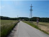 2
2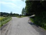 3
3 4
4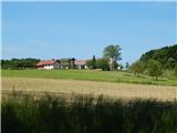 5
5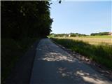 6
6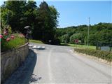 7
7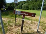 8
8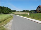 9
9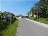 10
10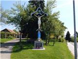 11
11 12
12 13
13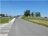 14
14 15
15 16
16 17
17 18
18