Zgornje Poljčane - Boč (by road)
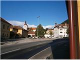
Starting point: Zgornje Poljčane (270 m)
Path name: by road
Time of walking: 2 h 15 min
Difficulty: easy marked way
Difficulty of skiing: no data
Altitude difference: 708 m
Altitude difference (by path): 750 m
Map: Posavsko hribovje Boč - Bohor 1:50.000
Access to starting point:
A) From the direction of Ljubljana we leave the highway in Slovenske Konjice and through Žič, Loče and Zbelovo drive to Poljčane. At the crossroad we continue right in the direction of Zgornje Poljčane a few hundred meters, where in the center of the settlement we park; the appropriate place is the parking spot by the cemetery.
B) From the direction of Maribor we leave the highway in Slovenska Bistrica, where signs point us to Poljčane. Through the center of the settlement Poljčane we continue in the direction of Zgornje Poljčane, where in the center of the settlement we park; the appropriate place is the parking spot by the cemetery.
Path description:
After a short sightseeing of the center of the settlement Zgornje Poljčane we continue across the stream Bela by the presbytery a little upwards on the road. Left by the path we reach the entrance into the church, on the facade there is also relief of two Romans. After sightseeing we continue left in the direction of the settlement Podboč on an asphalt path, also Formilska kolesarska pot. We soon reach a pleasant, smaller settlement Podboč and left by the path tree Černogova tisa and a well renovated by locals.
We continue right on the road upwards, now we also enter the landscape park Boč & Plešivec. The asphalt pavement changes into a forest road. The view to the left is also a view down to the surroundings of Poljčane and the riverbed of the flood-prone river Dravinja among fields and meadows. The road passes into the forest and we soon reach the grassy plain, where the road flattens.
On the grassy plain on the right there is a smaller storage with a field and on the left vineyards. We again continue through the forest and the road winds pleasantly left, right... At the end of the flat part we continue right upwards on the forest road, while sharply from the left the path from Studenice joins...
We follow the forest road and at the first larger crossroad/junction we continue right, left leads the road in the direction of Makole. Further right by the road we reach the log cabin of hunters LD Poljčane on Golnik.
We continue on the road, which flattens for a few meters. After a short flat section we continue uphill and soon reach the crossroad, where we continue right, left is the clearing Formila, partisan hospital on Boč, mountain hut on Boč... We follow the road further from bend to bend... and non-stop in constant ascent reach the entrance or fence of the RTV tower on Boč.
We continue a little downwards and soon descend to the mountain path from Poljčane towards the tower on Boč. On the path further by the military area we soon reach the destination of the path... a few final meters along the summit ridge. A short ascent on stairs to the tower. A nice view in all directions is the final reward of the decision for the described tour.
Pictures:
 1
1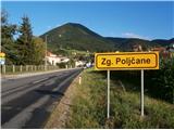 2
2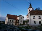 3
3 4
4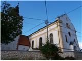 5
5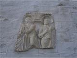 6
6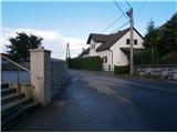 7
7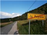 8
8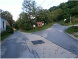 9
9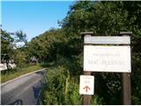 10
10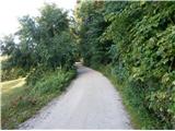 11
11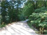 12
12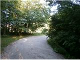 13
13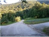 14
14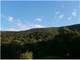 15
15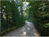 16
16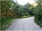 17
17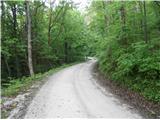 18
18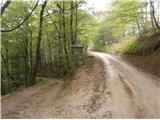 19
19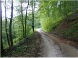 20
20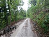 21
21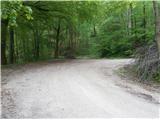 22
22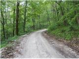 23
23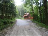 24
24 25
25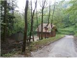 26
26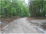 27
27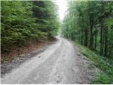 28
28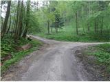 29
29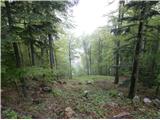 30
30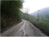 31
31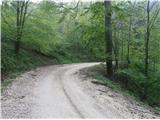 32
32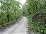 33
33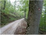 34
34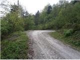 35
35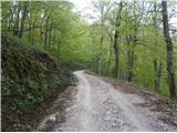 36
36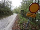 37
37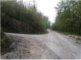 38
38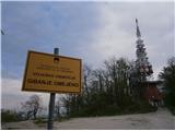 39
39 40
40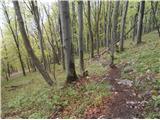 41
41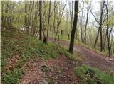 42
42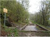 43
43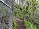 44
44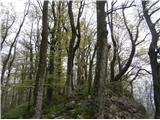 45
45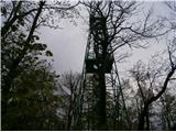 46
46