Zgornje Poljčane - Boč (on road and Senčna pot)
Starting point: Zgornje Poljčane (360 m)
| Latitude/Longitude: | 46,2971°N 15,5834°E |
| |
Route name: on road and Senčna pot
Walking time: 1 h 50 min
Difficulty: easy marked way
Elevation gain: 618 m
Elevation difference along the route: 660 m
Map: Posavsko hribovje Boč - Bohor 1:50.000
Recommended equipment (summer):
Recommended equipment (winter):
Views: 10.392
 | 2 people like this post |
Access to starting point:
A) From the direction of Ljubljana we leave the highway in Slovenske Konjice and through Žiče, Loče and Zbelovo drive to Poljčane. At the crossroad we continue right in the direction of Zgornje Poljčane, where at the marked crossroad we turn left upwards and drive to the parking lot - starting point for mountain paths on Boč.
B) From the direction of Maribor we leave the highway in Slovenska Bistrica, where traffic signs point to Poljčane. Through the center of the settlement Poljčane we continue in the direction of Zgornje Poljčane, where at the marked crossroad we turn left upwards and drive to the parking lot - starting point for mountain paths on Boč.
Route description:
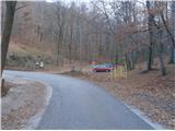
From the parking lot, we continue on the asphalt road upwards. A few hundred meters along the road there are meadows, pastures, vineyards and three, four houses or homesteads. The road at the end of the settlement Zgornje Poljčane passes into the forest, and we follow the asphalt surface all the way to the Planinski dom na Boču mountain hut.
From the Planinski dom na Boču mountain hut, we continue on the asphalt road in the direction of the church of St. Miklavž and greater pasque flower site and before the church we continue left upwards, right downwards to the greater pasque flower site. By the former smaller abandoned quarry, where there stands a signpost with the caption Vrh Boča-Senčna pot 45 min., we continue on a narrower mountain path, which we follow higher. The path alternates between narrower and also wider sections. The traceability of the path is of course excellent due to good markings and being well-trodden because of the high frequency of visitors of this path. Higher, the path passes into more rocky terrain and in the last few hundred meters into a typical ridge approach to the summit. We soon reach the summit and after the ascent to the lookout tower we are rewarded with an excellent view near and far.
The length of the described path is around 5500 meters, 660 positive altitude meters and 40 negative altitude meters.

Along the route: Dom na Boču (658m)
Photos:
 1
1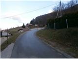 2
2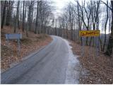 3
3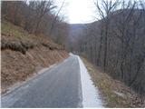 4
4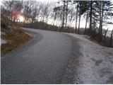 5
5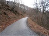 6
6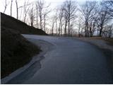 7
7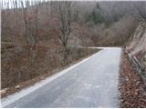 8
8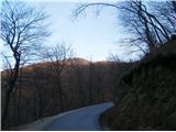 9
9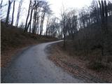 10
10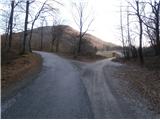 11
11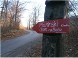 12
12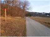 13
13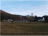 14
14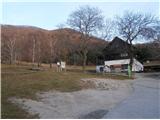 15
15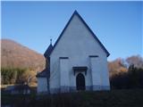 16
16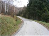 17
17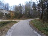 18
18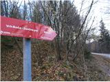 19
19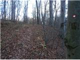 20
20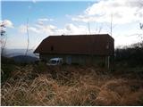 21
21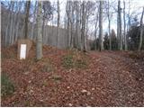 22
22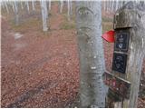 23
23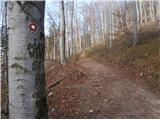 24
24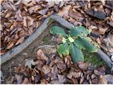 25
25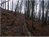 26
26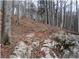 27
27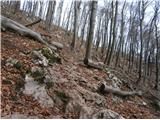 28
28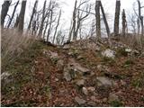 29
29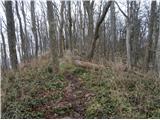 30
30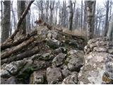 31
31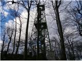 32
32
Discussion about the trip Zgornje Poljčane - Boč (on road and Senčna pot)
To post a comment you must log in:
If you do not yet have a username, you must first
register.