Zgornje Poljčane - Ljubična gora
Starting point: Zgornje Poljčane (276 m)
Starting point Lat/Lon: 46.30395°N 15.58223°E 
Time of walking: 1 h 15 min
Difficulty: easy marked way
Difficulty of skiing: no data
Altitude difference: 257 m
Altitude difference (by path): 280 m
Map:
Access to starting point:
a) From the Ljubljana - Maribor highway, we take the Slovenske Konjice exit, then follow the signs for Žiče, and in Žiče, we turn left towards Poljčane. We continue driving through Loče and Zbelovo to Poljčane, where we turn right, cross the Dravinja river, and arrive in Zgornje Poljčane, where we turn left towards the cemetery and park.
From the Maribor - Ljubljana highway, we take the Slovenska Bistrica south exit, then follow the signs for Poljčane and Rogaška Slatina. After Poljčane, we cross the Dravinja river, then arrive in Zgornje Poljčane, where we turn left towards the cemetery and park.
Path description:
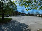
From the cemetery we continue towards the west, where we walk on Prvomajski trg street, then carefully cross the main road and continue walking on street Partizanska ulica, where we pass a gardening. Zgornje Poljčane then end, and we continue for some time near the river Dravinja, then blazes before the chapel direct us left onto a side road which turns sharply to the left and starts steeply ascending. Higher, we pass several houses, and at a few smaller crossroads we follow the blazes. Higher, blazes from the road direct us right onto a cart track which ascends diagonally through the forest, then flattens and later descends slightly. Lower, we leave the forest and continue through a scenic meadow to a spot where a marked but unblazed path branches off sharply to the left towards Rančka, but we continue straight to a marked crossing where we reach an asphalt road. We continue the ascent on the asphalt road, which passes two holiday cottages and in a few minutes of further walking brings us to the church of Our Lady of the Scapular, from which a beautiful view opens up.
From the church, we can continue left and quickly ascend to a forest-covered peak.
Description and pictures refer to conditions in April 2024.
Pictures:
 1
1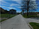 2
2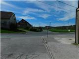 3
3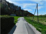 4
4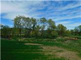 5
5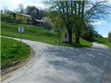 6
6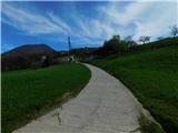 7
7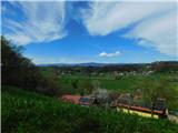 8
8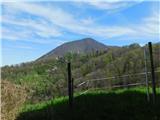 9
9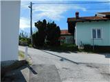 10
10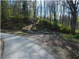 11
11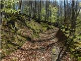 12
12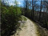 13
13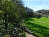 14
14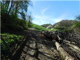 15
15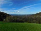 16
16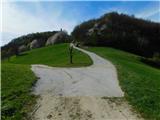 17
17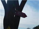 18
18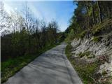 19
19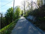 20
20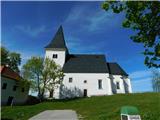 21
21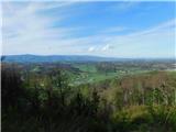 22
22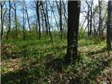 23
23