Zgornje Poljčane - Sveta Lucija above Studenice
Starting point: Zgornje Poljčane (270 m)
Time of walking: 1 h 15 min
Difficulty: easy marked way
Difficulty of skiing: no data
Altitude difference: 20 m
Altitude difference (by path): 140 m
Map: Posavsko hribovje Boč - Bohor 1:50.000
Access to starting point:
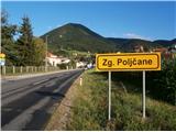
A) From the direction Ljubljana we leave the highway in Slovenske Konjice and through Žiče, Loče and Zbelovo drive to Poljčane. At the crossroad, we continue right in the direction of Zgornje Poljčane few hundred meters, where in the center of the settlement, we park, appropriate place is parking spot by the cemetery.
B) From the direction Maribor we leave the highway in Slovenska Bistrica, where signs point us to Poljčane. Through the center of the settlement Poljčane we continue in the direction of Zgornje Poljčane, where in the center of the settlement, we park, appropriate place is parking spot by the cemetery.
Path description:
After a short sightseeing of center of the settlement Zgornje Poljčane we continue across the stream Bela by the presbytery a little upwards on the road. Left by the path, we reach the entrance into the church, on the facade there is also relief of two Romans. After sightseeing, we continue left in the direction of the settlement Podboč on an asphalt path which is also a cycling path Formilska kolesarska pot. We soon reach a pleasant, smaller settlement Podboč and on the left by the path there is a tree Černogova tisa (yew) and a well renovated by locals.
We continue right on the road upwards, now we also enter the landscape park Boč & Plešivec. The asphalt pavement changes into a forest road. On the left is a nice view towards the surroundings of Poljčane and riverbed of river Dravinja among fields and meadows. The road passes into the forest and we soon reach the grassy plain, where the road flattens.
On a grassy plain on the right there is a smaller storage with a field and on the left vineyards. We again continue through the forest and the road is pleasantly winding left, right... At the end of the flat part we go sharply left downwards and then follows a descent on a narrower forest stone road, while on the right upwards there is a continuation of the path to Boč.
We continue downwards, the path is pleasantly descending, it is well hardened and we soon reach an intermediate destination, the source of the stream Topli potok at an altitude 295 meters.
Over a wooden footbridge we continue on the other side of the stream and soon after a short plain, we go lightly downwards, where left by the path there is a nun cemetery and on the right there is a smaller source in a wooden trough. Right above us little higher is also castle Studeniški grad, monument of turbulent events through century between the river Dravinja and Boč. Next follows a descent by the wall and through passage/underpass and by the presbytery we soon reach the main part of Studenice in front of the monastery complex.
After a short sightseeing of the main part of Studenice, we continue in the direction of north through the settlement Studenice on the road along the stream. We continue through a bridge over Dravinja and immediately a little left and straight between the culture house and transformer. We continue left in a gentle ascent on a meadow path between the house on the left and kindergarten on the right side. At the kindergarten, we turn right and on asphalt grounding we continue a little steeper upwards towards the destination, which is visible. We follow the road and we soon reach the parking spot in front of the church of St. Lucija, which is inside the walls, surrounded by the cemetery.
The distance of the described path is around 4500 meters, 140 positive altitude meters and 120 negative altitude meters.
Pictures:
 1
1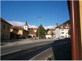 2
2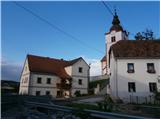 3
3 4
4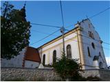 5
5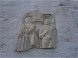 6
6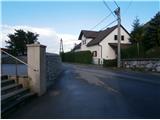 7
7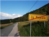 8
8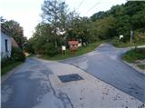 9
9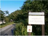 10
10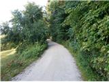 11
11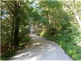 12
12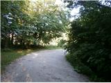 13
13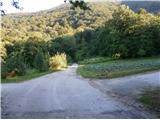 14
14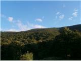 15
15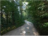 16
16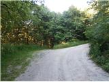 17
17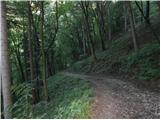 18
18 19
19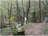 20
20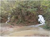 21
21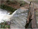 22
22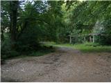 23
23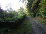 24
24 25
25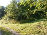 26
26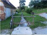 27
27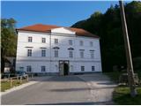 28
28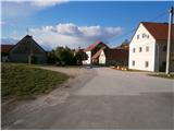 29
29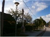 30
30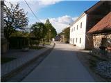 31
31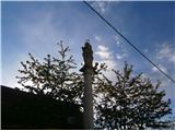 32
32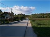 33
33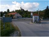 34
34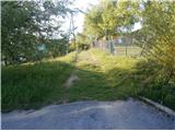 35
35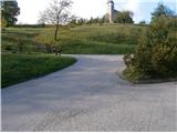 36
36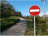 37
37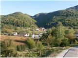 38
38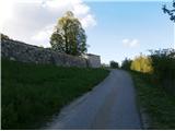 39
39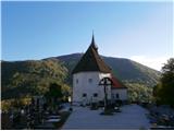 40
40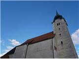 41
41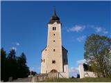 42
42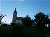 43
43