Zgornje Poljčane - Sveta Marjeta na Boču (by road)
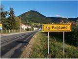
Starting point: Zgornje Poljčane (270 m)
Path name: by road
Time of walking: 1 h 45 min
Difficulty: easy marked way
Difficulty of skiing: no data
Altitude difference: 385 m
Altitude difference (by path): 460 m
Map: Posavsko hribovje Boč - Bohor 1:50.000
Access to starting point:
A) From the direction Maribor we leave the highway in Slovenska Bistrica, where signs point us to Poljčane. Through the center of the settlement Poljčane we continue in the direction of Zgornje Poljčane, where in the center of the settlement, we park, appropriate place is parking spot by the cemetery.
B) From the direction Ljubljana we leave the highway in Slovenske Konjice and through Žiče, Loče and Zbelovo we get to Poljčane. At the crossroad, we continue right in the direction of Zgornje Poljčane few hundred meters, where in the center of the settlement, we park, appropriate place is parking spot by the cemetery.
Path description:
After a short sightseeing of center of the settlement Zgornje Poljčane we continue across the stream Bela by the presbytery a little upwards on the road. Left by the path, we reach the entrance into the church, on the facade there is also relief of two Romans. After sightseeing, we continue left in the direction of the settlement Podboč on an asphalt path which is also a cycling path Formilska kolesarska pot. We soon reach a pleasant, smaller settlement Podboč and on the left by the path there is a tree Černogova tisa (yew) and a well renovated by locals.
We continue right on the road upwards, now we also enter the landscape park Boč & Plešivec. The asphalt pavement changes into a forest road. On the left is a nice view towards the surroundings of Poljčane and riverbed of river Dravinja among fields and meadows. The road passes into the forest and we soon reach the grassy plain, where the road flattens.
On a grassy plain on the right there is a smaller storage with a field and on the left vineyards. We again continue through the forest and the road is pleasantly winding left, right... At the end of the flat part we continue right upward on the forest road, and from sharp left joins the path from Studenice.
We follow the forest road and at the first larger crossroad we continue right, left leads the road in the direction of Makole. Further, right by the road we reach a log cabin of hunters LD Poljčane on Golnik.
We continue on the road which for few meters flattens. After a short plain, we continue uphill and we soon reach the crossroad at which we continue left on a narrower forest road, the right path continues towards the tower on Boč. On a narrower forest road between Kisovec left and Drevesnica right we soon reach about 645 meters high saddle above Formila. We continue downwards, Formila is already right from us, from the left soon joins a marked mountain path from Makole.
We reached Formila and then follows a short extension to a crossing, left for partisan hospital, Gaveza, chapel Grilova kapela, Plešivec...and right for mountain hut Dom na Boču. The crossing is also the juncture with the path Štajerska - Zagorje or,,B,, - path Bratska pot.
After a short sightseeing, we continue on the forest road right in the direction of the mountain hut Dom na Boču. At the first crossing, we go sharply left upwards on the forest road, on the trunk of the tree there is a caption Donačka gora and blazes. We follow the road higher into the forest and we soon reach the grassy plain eastern below Hrastovec. At the crossroad, we go right and then follows a descent on the forest road downwards. We soon reach our destination, church of St. Marjeta below one of the lower peaks of Boč 791 meters high Hrastovec, which rewards us with views on Obsotelje, Kozjansko, Croatian Zagorje and more.
The distance of the path from Studenice is around 8500 meters, 460 positive altitude meters and 70 negative altitude meters. The highest point of the path is 700 meters above the sea level.
Pictures:
 1
1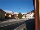 2
2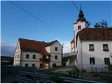 3
3 4
4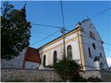 5
5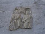 6
6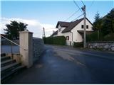 7
7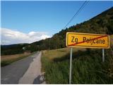 8
8 9
9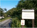 10
10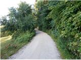 11
11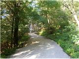 12
12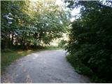 13
13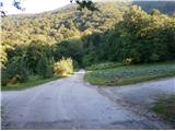 14
14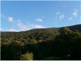 15
15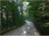 16
16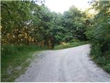 17
17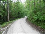 18
18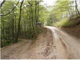 19
19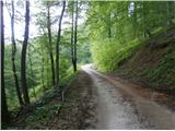 20
20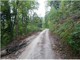 21
21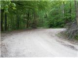 22
22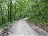 23
23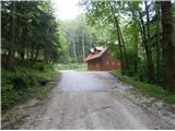 24
24 25
25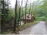 26
26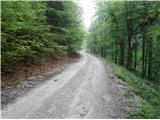 27
27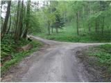 28
28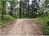 29
29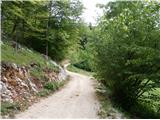 30
30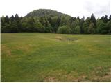 31
31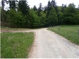 32
32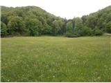 33
33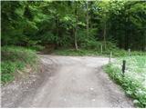 34
34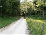 35
35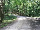 36
36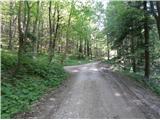 37
37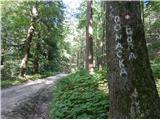 38
38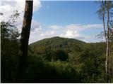 39
39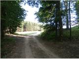 40
40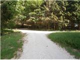 41
41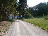 42
42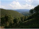 43
43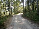 44
44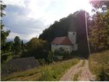 45
45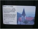 46
46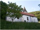 47
47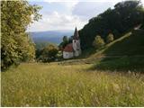 48
48