Zgornji Dražen Vrh - Marija Snežna (Zgornja Velka)
Starting point: Zgornji Dražen Vrh (280 m)
Starting point Lat/Lon: 46.67356°N 15.79556°E 
Time of walking: 45 min
Difficulty: easy marked way
Difficulty of skiing: no data
Altitude difference: 127 m
Altitude difference (by path): 150 m
Map:
Access to starting point:
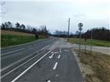
We leave the Pomurska highway at the exit for Lenart v Slovenskih goricah, and from the town center, we head from one of the roundabouts in the direction of the settlements Trate, Cmurec / Mureck, and Sveta Ana, then continue driving on the main road towards Trate. In the settlement Zgornji Dražen Vrh, we notice red mountain signposts for Zgornja Velka, where the described path begins. We park on an appropriate place by the crossroad.
Path description:
From the starting point, we head onto a side road toward Zgornja Velka and Vranji Vrh, first crossing the stream Ščavnica, then sticking to the main road or following the blazes. Further on, we begin to visibly ascend; when the road flattens higher up, several crossroads follow, where we follow the blazes. Next come a few shorter ascents and descents with occasional beautiful views of the nearby hills; after crossing the main road, only a short, slightly steeper ascent remains to the church of Our Lady of Snow on Zgornja Velka.
The description and pictures refer to the condition in March 2025.
Pictures:
 1
1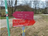 2
2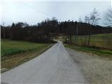 3
3 4
4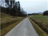 5
5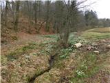 6
6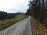 7
7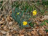 8
8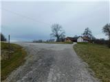 9
9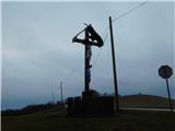 10
10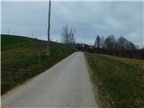 11
11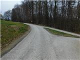 12
12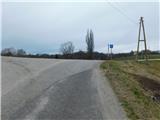 13
13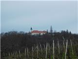 14
14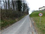 15
15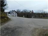 16
16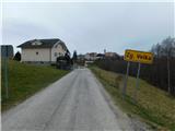 17
17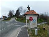 18
18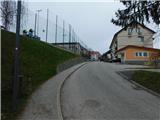 19
19 20
20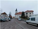 21
21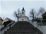 22
22