Žička kartuzija - Stolpnik (via Skala and Krniški rob)
Starting point: Žička kartuzija (410 m)
Starting point Lat/Lon: 46.3101°N 15.3933°E 
Path name: via Skala and Krniški rob
Time of walking: 3 h 15 min
Difficulty: easy marked way
Difficulty of skiing: no data
Altitude difference: 602 m
Altitude difference (by path): 900 m
Map:
Access to starting point:
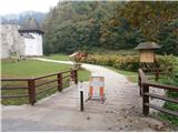
A) From the highway Maribor - Ljubljana we go to the exit Tepanje and follow the road ahead towards Draži vas and Žiče. In Žiče we turn right in the direction of Špitalič and Žička kartuzija. At the Carthusian monastery there are enough parking spots available for safe parking.
B) From Frankolovo through Črešnjice and the settlement Sojek to Žička kartuzija
C) From Poljčane through Loče, Žiče and Špitalič to the kartuzija.
Path description:
After a short tour of the complex Žička kartuzija we head right uphill into the hill, signposts for Slovenske Konjice, Stolpnik and Trije križi. In the first part there is a forest path, in the central part there are meadows, pastures, fields, homesteads and holiday cottages along a partly asphalted and macadam connection. There are quite a few views. At the junction Trije križi we turn right towards Skala, which we easily reach on a partly forest road and forest path.
From Skala we continue in the direction of Trije križi on an undulating path in the first part and forest road in the second part.
At Trije križi we continue straight towards Stolpnik and somewhere after roughly 100 meters we turn right in the direction of Krniški rob and on an undulating forest road we reach Grofov štant.
From Grofov štant uphill on a forest path we reach the summit of Stolpnik with a lookout tower.
On the way: Skala (750m), Trije križi (727m), Krniški rob (807m), Grofov štant (802m)
Pictures:
 1
1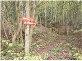 2
2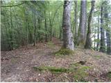 3
3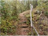 4
4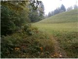 5
5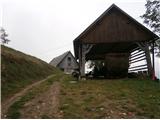 6
6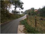 7
7 8
8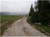 9
9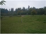 10
10 11
11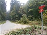 12
12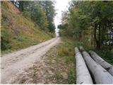 13
13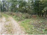 14
14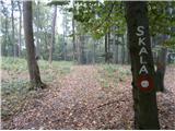 15
15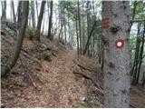 16
16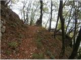 17
17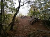 18
18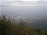 19
19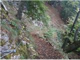 20
20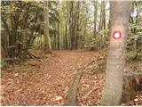 21
21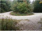 22
22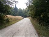 23
23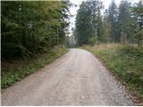 24
24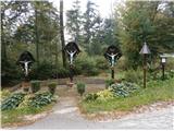 25
25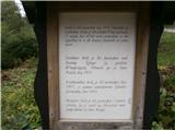 26
26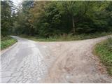 27
27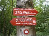 28
28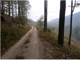 29
29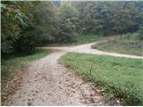 30
30 31
31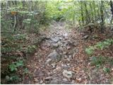 32
32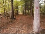 33
33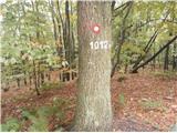 34
34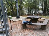 35
35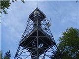 36
36