Zidani Most - Kum (through Škratova dolina (new path))
Starting point: Zidani Most (201 m)
Starting point Lat/Lon: 46.0902°N 15.1576°E 
Path name: through Škratova dolina (new path)
Time of walking: 3 h 5 min
Difficulty: easy marked way
Difficulty of skiing: no data
Altitude difference: 1019 m
Altitude difference (by path): 1050 m
Map:
Access to starting point:
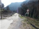
A) From Litija or Zagorje ob Savi we drive to Hrastnik, and from there we continue driving in the direction of Zidani Most. After the settlement Suhadol the road passes on the right side of the railway, and when a little further it again crosses the track, already after the gate, but still before the crossing of the track a macadam road branches off to the right, by which there is the beginning of the described path.
B) From Rimske Toplice or Radeče we drive to Zidani Most, from there we continue driving towards Hrastnik. When a little after the turn-off for Širje, the road first time crosses the railway track, right after it a macadam road branches off to the left by which there is the beginning of the described path.
Path description:
Near the passage across the railway track we notice signs for Kum, which point us to Cicka (Cicka is a manual cableway with the help of which we get to the other side of the river Sava). When we get on the other side of Sava at first we step out from Cicka, and then we continue in the direction of signs for Kum. Only a little after Cicka the path leads us past the farm Trbežnik, which we bypass on the right side. Above the farm over a small bridge we cross the stream Suhi graben, after that only a little further we again cross the stream, this time without the bridge. When a little higher we again cross the stream, we step on one of the larger Slovenian islets, because higher the stream splits into two parts and so runs on both sides of islet (in dry days one part of the stream dries up, so then it isn't an island). Few minutes we walk on the islet, and then we leave it and we for some time continue left from the stream. Next follows a steep ascent on a steep slope, which leads us above the stream. When we diagonally ascend on the mentioned slopes, where mainly in wet more caution is needed, that we don't slip, we step into a less steep valley Škratova dolina. Further, the path leads us past an old mill, and then we few times also cross the stream. A little further, the path leads also past several smaller springs, and above them we soon reach a bad macadam road. Next follows an ascent on the road which leads us through the valley Škratova dolina, and most of the time we are ascending through the forest. Higher the forest ends and a moderately steep path past the abandoned farm brings us to an asphalt road, where we join the path from Radeče.
We follow the road to the right, and from there soon the path to Nebeška gora branches off to the left. When after a further shorter ascent we reach the crossroad of roads, we continue sharply right (straight - the old path which leads below the projecting roof of the nearby homestead) in the direction of Kum. From the crossroad, we few more minutes walk on the road, and then signs for Kum point us to the left on a footpath, on which we continue the ascent. Next follow few crossings, where we follow the blazes, and then we step on a macadam road which we follow to the left. After a short ascent, we get on the road to some sort of plain, where we continue left in the direction of Kum (right - parish house and the church of the Holy Mary on Ključavica).
The path ahead leads us past the chapel, and then only a little behind it we continue right on a worse road, and from there few steps ahead left on a cart track. With a view on the hill Ključavica we are ascending on a grassy slope, and then the path flattens and crosses a lane of bushes. On the other side of the bushes we descend near the nearby house, which we bypass on the right side, and then we continue on a worse road which leads us left from the other house. Behind the house, the road widens, and then we quickly get to the forest, where there is a marked crossing.
We continue straight (left - Mali Kum and Podkum) in the direction of Kum, on the path which is at first gently, and then steeper ascending. Higher the forest ends and the path brings us right below the peak of Kum, where we join the road which leads to the mountain hut. On the road in few steps we get to the mountain hut, and few meters ahead also to the church of St. Neža on the top of Kum.
Description and pictures refer to a condition in the year 2016 (March).
Pictures:
 1
1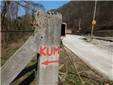 2
2 3
3 4
4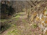 5
5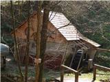 6
6 7
7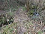 8
8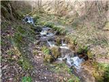 9
9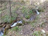 10
10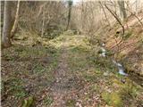 11
11 12
12 13
13 14
14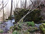 15
15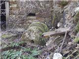 16
16 17
17 18
18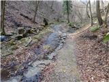 19
19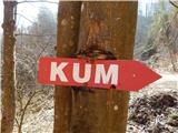 20
20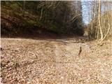 21
21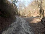 22
22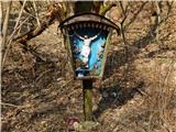 23
23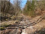 24
24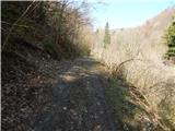 25
25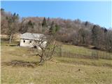 26
26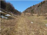 27
27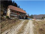 28
28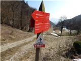 29
29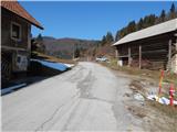 30
30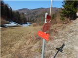 31
31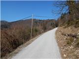 32
32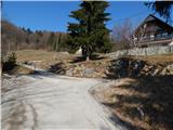 33
33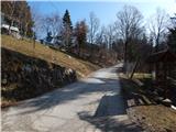 34
34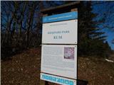 35
35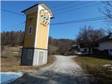 36
36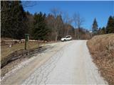 37
37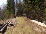 38
38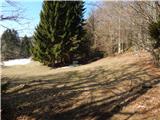 39
39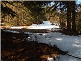 40
40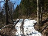 41
41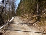 42
42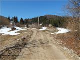 43
43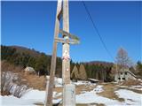 44
44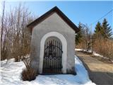 45
45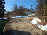 46
46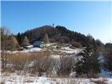 47
47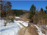 48
48 49
49 50
50 51
51 52
52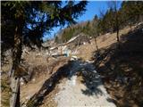 53
53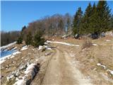 54
54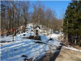 55
55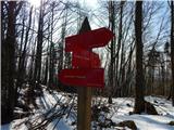 56
56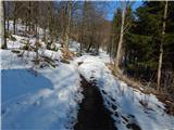 57
57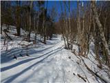 58
58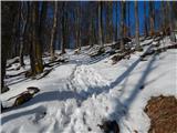 59
59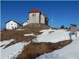 60
60 61
61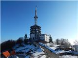 62
62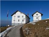 63
63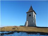 64
64 65
65