Zidani Most - Kum (through Škratova dolina (old path))
Starting point: Zidani Most (201 m)
Starting point Lat/Lon: 46.0853°N 15.1709°E 
Path name: through Škratova dolina (old path)
Time of walking: 3 h
Difficulty: easy marked way
Difficulty of skiing: easily
Altitude difference: 1019 m
Altitude difference (by path): 1019 m
Map:
Access to starting point:
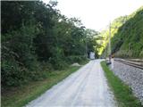
From Ljubljana, we drive towards Litija and we continue to Zidani Most. And if we come from Štajerska, from Celje through Laško we also drive to Zidani Most. We park at the railway station, or we can park by the macadam road 1km before Zidani most (from the direction Litija), where the main road crosses the railway track.
Path description:
If we started at the railway station in Zidani Most, we go approx 1km on the road in the direction of Hrastnik. Where the road crosses the railway track, there is a manual cableway "cicka", with the help of which we go on the other side of the river Sava. Crossing the river with cicka is a special experience. When we are on the other bank of Sava, we continue straight uphill, where we are ascending along the stream. The path which few times crosses the stream, brings us to abandoned mills.
On the top of the ascent, the path flattens and there is the beginning of the valley Škratova dolina. The path through the valley Škratova dolina runs partly on a cart track. At the end of the cart track we cross a meadow by which there is an older farm. We soon get to the asphalt road, where we continue right in the direction of Kum. On the left, the path from Radeče joins. The road ascends and leads us past the houses in the settlement. At the last house, we go below the projecting roof, where the path continues into the forest. After few minutes of ascent, we come out of the forest and we already see the peak. The path leads us past houses, and later it again turns in the forest. At the chapel in the forest, we continue straight, from the right joins also a marked path from Mali Kum. Follows an ascent, approximately 15 min, and we are already on the top of Kum.
Pictures:
 1
1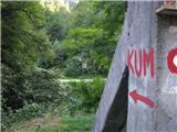 2
2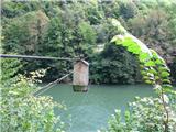 3
3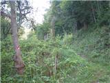 4
4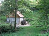 5
5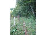 6
6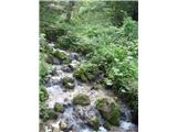 7
7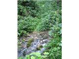 8
8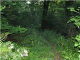 9
9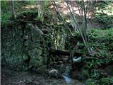 10
10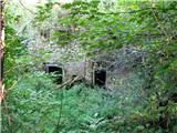 11
11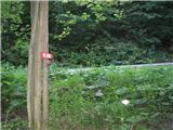 12
12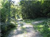 13
13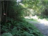 14
14 15
15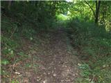 16
16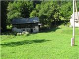 17
17 18
18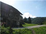 19
19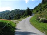 20
20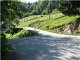 21
21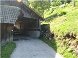 22
22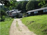 23
23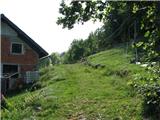 24
24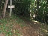 25
25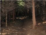 26
26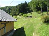 27
27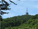 28
28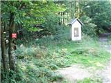 29
29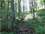 30
30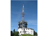 31
31 32
32