Zreče (church of St. Egidij) - Rogla (via Gorenje)
Starting point: Zreče (church of St. Egidij) (395 m)
Starting point Lat/Lon: 46.37436°N 15.38926°E 
Path name: via Gorenje
Time of walking: 3 h 50 min
Difficulty: easy marked way
Difficulty of skiing: no data
Altitude difference: 1122 m
Altitude difference (by path): 1150 m
Map: Pohorje 1:50000
Access to starting point:
Zreče is a small town with approximately 3000 inhabitants in northeastern Slovenia, of the road of Pohorje in the upper part of the valley Dravinjska dolina, at the spot, where the gorge of Dravinja widens. Zreče is also the headquarters of the eponymous municipality. It is accessible on the road from the highway Celje - Maribor, exit Slovenske konjice. The starting point of our path is located on a large parking lot between the building of mountaineering club Planinsko društvo Zreče, Šolska cesta 4, Zreče and between the parish church of St. Egidij, Šolska cesta 1, Zreče.
Path description:
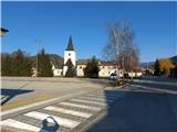
A larger part of our path will run on a marked hiking path maintained by PD Zreče, and the last part of the path, on a marked hiking path maintained by PD Oplotnica. From the parking lot between the building of mountaineering club Planinsko društvo Zreče and the parish church of St. Egidij we start on the road towards the north past PGD Zreče to a crossroad in front of Unior. We continue right through a bridge over Dravinja, where there are the first signposts. For quite some time the path runs past some companies on a wide gentle asphalt road (Tovarniška cesta), where we follow the blazes on traffic signs. When the asphalt road at the last houses narrows, there is the beginning of an ascent and the first turns. Higher before the yellow house we leave the road and we step on a forest path, where we follow the blazes and signs. First views open up towards Konjiška gora. Higher, we continue on a cart track on the edge of the clearing, then we go again into the forest, where we once cross the road. Higher the forest path brings us on a gentle asphalt road which leads us through the village Črešnova. At the end of the village signs point us on a cart track, on which on a meadow part we bypass village Gorenje pri Zrečah with from the far visible church. Again nice views towards the south. In the upper part of the village, we walk on a narrower asphalt road, and by the inn Smogavc at the crossroad we to the left join a wider asphalt road. Before Koroška vas na Pohorju we leave the main asphalt road and we go mildly to the left in accordance with signs towards green house. We bypass the house, after a short section through the forest we walk diagonally through a meadow below the farm Kropej and we continue again into the forest past pastures. A little higher we at first to the left join the forest road, and then in the village Planina na Pohorju we go once again to the left on an asphalt road. We follow the blazes and signs. After about a kilometer, and when we on the road bypass settlement of houses, sharply to the left a mountain path branches off, which in sharp short hairpin turns past houses brings us into the forest, where in the arms of the forest we continue in a gentle ascent. At the homestead Pušnik we turn to the right at first steeply uphill, but soon we again join the road. At the cross little higher we leave the road and we continue through the forest past a nice green log cabin at the periphery of panoramic clearing all the way to the chapel by the asphalt road. We to the left join the asphalt road, but only about 30 meters and then we leave the road, where we continue slightly to the right into a dense forest through some sort of a groove with a moderate ascent. We soon join the forest road which a little higher brings us past the lonely houses. Gradually the forest road turns into a cart track, and it again leads on forest groove with light ascent. After about a kilometer and a half, when the path flattens, from the right joins the path from Oplotnica. We continue in the direction of Rogla - Pesek. About a kilometer ahead we get to a crossing, where we continue in the direction of the cottage Koča na Jurgovem - Stolp. Higher, we step out of the forest on a clearing and we continue past the cottage Koča na Jurgovem in the direction of Rogla - Pesek on the asphalt road. At the crossroad, we cross the main asphalt road Rogla - Koča na Pesku and we continue on a ski slope uphill. At the control cotagge of the ski slope we cross the ski lift and after few meters we continue right into the forest, where we soon get to a lookout tower on Rogla.
Pictures:
 1
1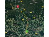 2
2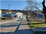 3
3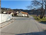 4
4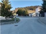 5
5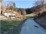 6
6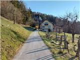 7
7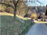 8
8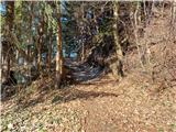 9
9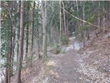 10
10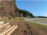 11
11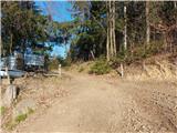 12
12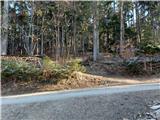 13
13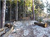 14
14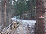 15
15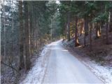 16
16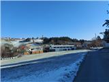 17
17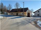 18
18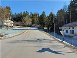 19
19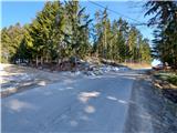 20
20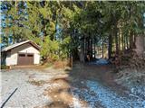 21
21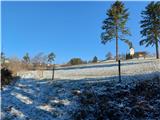 22
22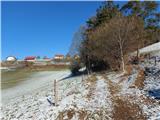 23
23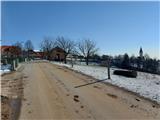 24
24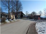 25
25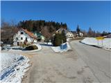 26
26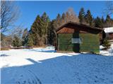 27
27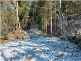 28
28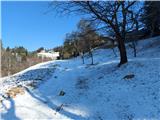 29
29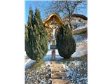 30
30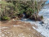 31
31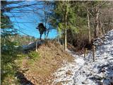 32
32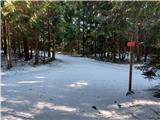 33
33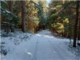 34
34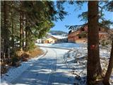 35
35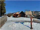 36
36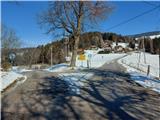 37
37 38
38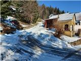 39
39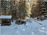 40
40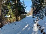 41
41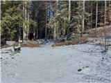 42
42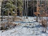 43
43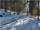 44
44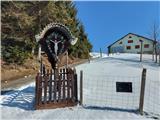 45
45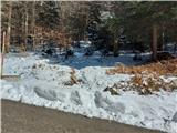 46
46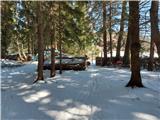 47
47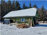 48
48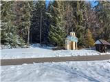 49
49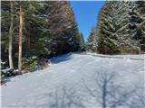 50
50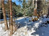 51
51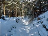 52
52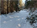 53
53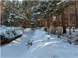 54
54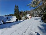 55
55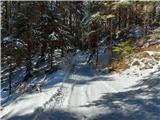 56
56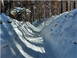 57
57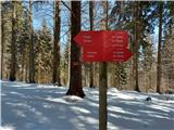 58
58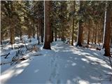 59
59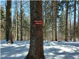 60
60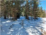 61
61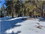 62
62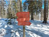 63
63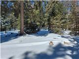 64
64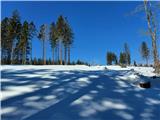 65
65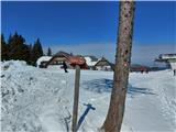 66
66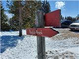 67
67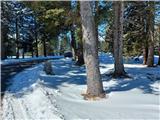 68
68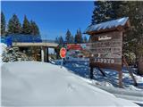 69
69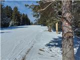 70
70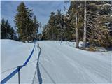 71
71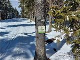 72
72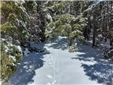 73
73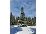 74
74 75
75