Zreče (Terme Zreče) - Golek (via Bork)
Starting point: Zreče (Terme Zreče) (395 m)
| Latitude/Longitude: | 46,37066°N 15,39006°E |
| |
Route name: via Bork
Walking time: 1 h 30 min
Difficulty: easy marked way
Elevation gain: 374 m
Elevation difference along the route: 380 m
Map: Pohorje 1:50.000
Recommended equipment (summer):
Recommended equipment (winter): ice axe, crampons
Views: 618
 | 1 person like this post |
Access to starting point:
We leave the Štajerska motorway at the exit for Slovenske Konjice, and then we follow the signs for Zreče. When we arrive in Zreče, we park in the parking lot by Terme Zreče.
Route description:
From the parking lot, we continue on the road which leads towards the north, and soon we reach a marked junction, where a marked path branches off to the right towards Gorenje and Rogla, but we continue straight on the road or sidewalk. The road along which we walk gradually turns towards the northwest in a gentle ascent; after about 15 minutes, at the chapel we turn left onto a side road, along which after a few steps we notice the first signs for Golek.
At the signs, we go right, passing a few houses; at the next chapel, the path splits.
We continue right in the direction of Golek via Bork (straight - tourist farm Ančka and Golek) and begin to ascend a narrower road. Higher up, past the water supply structure we go left, then right into the forest, where we continue on the marked hiking path. For a few minutes we ascend through the forest, then we reach a macadam road, which we follow uphill to the right; from it, after just a few steps, we go right onto an indistinct ridge, along which we then ascend more steeply. When we leave the forest we go left and ascend beside the Bork farm to the macadam road. Along the road in a few steps we reach a small saddle from which a nice view opens up; at the nearby junction we go left. The road along which we continue turns into a cart track, which enters the forest. Through the forest we follow the blazes and soon reach a marked junction, where we continue slightly left (slightly right - Ljubnica).
The path ahead leads us along a cart track ascending diagonally; a little further on, a steep path to Golek crosses our path.
We continue straight; the cart track soon reaches a macadam road, along which we continue to the nearby marked junction.
From the junction we go right towards the summit of Golek (left downhill - usual path to Zreče), still ascending through the forest at first; when we reach the edge of a hay meadow, the path takes us to a shelter with benches and tables located just a little below the summit. We continue along the edge of the forest, where a steep path joins from the right, and in one more minute of walking we reach the summit of Golek.
Description and pictures refer to the condition in June 2022.

Along the route: Bork (602m)
Photos:
 1
1 2
2 3
3 4
4 5
5 6
6 7
7 8
8 9
9 10
10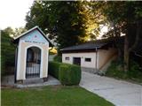 11
11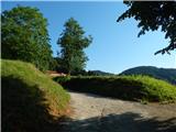 12
12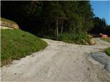 13
13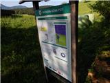 14
14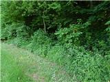 15
15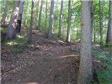 16
16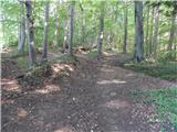 17
17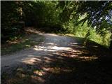 18
18 19
19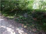 20
20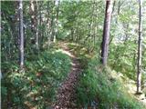 21
21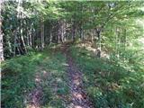 22
22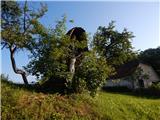 23
23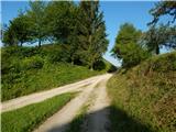 24
24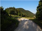 25
25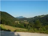 26
26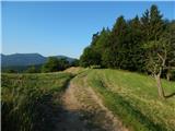 27
27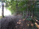 28
28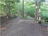 29
29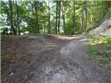 30
30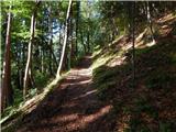 31
31 32
32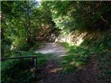 33
33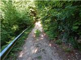 34
34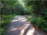 35
35 36
36 37
37 38
38 39
39 40
40 41
41 42
42
Discussion about the trip Zreče (Terme Zreče) - Golek (via Bork)
To post a comment you must log in:
If you do not yet have a username, you must first
register.