Mače - Bašeljski vrh (via valley of Suha and via Kališče)
Starting point: Mače (600 m)
Starting point Lat/Lon: 46.3131°N 14.4187°E 
Path name: via valley of Suha and via Kališče
Time of walking: 3 h 15 min
Difficulty: easy unmarked way
Difficulty of skiing: no data
Altitude difference: 1144 m
Altitude difference (by path): 1144 m
Map: Karavanke - osrednji del 1:50.000
Access to starting point:
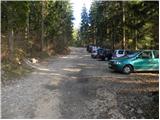
A) From highway Ljubljana - Jesenice we go to the exit Kranj - east, and then we continue driving in the direction of Jezersko. When we get to Preddvor we leave the main road and we continue driving left towards the center of the mentioned settlement, from there we follow the signs for Mače. When we get to Mače, at the marked crossroad we continue right (left Bašelj, straight church of St. Miklavž (church isn't accessible with a car)) and on a narrow road we drive above the village, where there is a larger marked parking lot.
B) From highway Jesenice - Ljubljana we go to the exit Kranj - zahod and at the first crossroad, we continue left. Further, we drive through the underpass below the highway, and then we get to a roundabout, from where we continue driving in the direction of Golnik. The path ahead leads us through the settlement Mlaka pri Kranju, and at the end of the settlement, we continue right in the direction of the settlement Srakovlje. Next follows driving through Srakovlje, Spodnja Bela, Srednja Bela to Zgornja Bela, where we continue right towards Preddvor. In Preddvor we notice signs for Mače, which point us to the left past the primary school on a road which ascends to Mače. When we get to Mače, at the marked crossroad we continue right (left Bašelj, straight church of St. Miklavž (church isn't accessible with a car)) and on a narrow road we drive above the village, where there is a larger marked parking lot.
Path description:
From the parking lot, we continue in the direction of Kališče and we continue on for public traffic closed forest road. The road which is relatively steeply ascending, after good 20 minutes of walking, it brings us to a marked crossing, where normal path on Kališče branches off to the left, and we go right and we continue on a worse forest road. Only a little higher we come to the bottom station of the cargo cableway, which runs on Kališče, the road then gradually changes into a wide cart track.
We follow a marked cart track for some time, after it splits into two parts, we continue on the left wider unmarked cart track (by the crossing is situated cairn). We continue the ascent on the mentioned cart track which is steeply ascending on lane of unvegetated slopes. Higher, the cart track ends, and we continue on easy to follow, but quite steep path, which higher passes into a dense forest. Next follows approximately 20 minutes of ascent and we join the marked path, which we follow to the left.
We continue in the direction of Kališče on the path which for some time flattens, and then it gradually starts ascending steeper. The path ahead is for some time ascending through a dense forest and then it brings us by the foot of rocky cliffs and only a little higher on the ridge, where just few meters from the path, we notice a smaller cottage. Here the path turns right and steeply ascends over a shorter rocky jump. The path here flattens and only few meters ahead joins the normal path which leads on Kališče.
We continue in the direction of Kališče and we continue the ascent on a moderately steep path, on which in 5 minutes of additional walking, we get to the mountain hut Dom na Kališču.
Behind the mountain hut Dom na Kališču we notice a mountain signpost with numerous options to continue. We continue on a gently sloping and panoramic ridge path in the direction of Storžič, Bašeljski vrh..., which continues towards the north. After few minutes of easy walking with nice views, which reaches all the way to Julian Alps, we get to a crossing, where we continue right (straight Storžič) towards Bašeljski vrh. The path ahead ascends steeper through a lane of dwarf pines and with a nice view towards the neighbouring Mali Grintovec brings us on with dwarf pines covered ridge Bašeljski vrh, where in next few minutes we get to the next well-marked crossing. At the crossing, the path to Mali Grintovec and Srednji vrh branches off to the right, and we continue straight and with a view on Storžič we continue the ascent. The path which runs on and by with dwarf pines covered ridge, little below the summit joins also the path from Jekarica and Bašeljski preval. Here we continue right and on a little narrower ridge in a minute of additional walking, we reach Bašeljski vrh, from which a nice view opens up towards the mountains above Jezersko, and the view reaches all the way to Košuta, Obir and Lavanttal Alps in Austria.
Pictures:
 1
1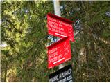 2
2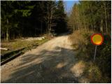 3
3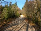 4
4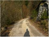 5
5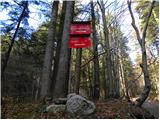 6
6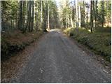 7
7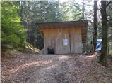 8
8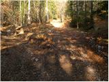 9
9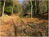 10
10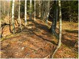 11
11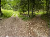 12
12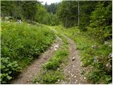 13
13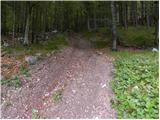 14
14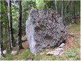 15
15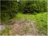 16
16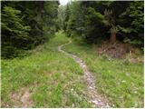 17
17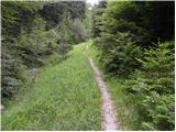 18
18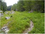 19
19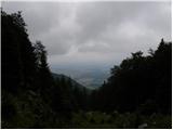 20
20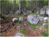 21
21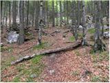 22
22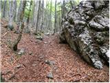 23
23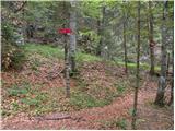 24
24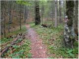 25
25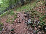 26
26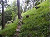 27
27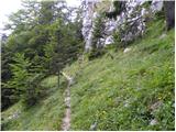 28
28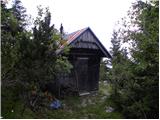 29
29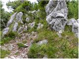 30
30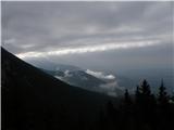 31
31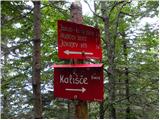 32
32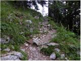 33
33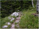 34
34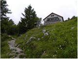 35
35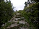 36
36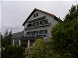 37
37 38
38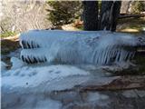 39
39 40
40 41
41 42
42 43
43 44
44 45
45 46
46 47
47 48
48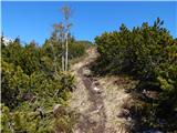 49
49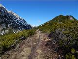 50
50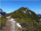 51
51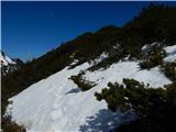 52
52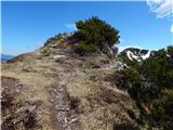 53
53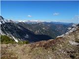 54
54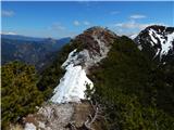 55
55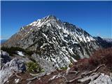 56
56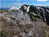 57
57 58
58