Trebija - Vrhovski grič (via Sveti Pavel)
Starting point: Trebija (443 m)
| Latitude/Longitude: | 46,09719°N 14,10159°E |
| |
Route name: via Sveti Pavel
Walking time: 1 h 45 min
Difficulty: easy marked way
Elevation gain: 515 m
Elevation difference along the route: 520 m
Map: Škofjeloško in Cerkljansko hribovje 1:50.000
Recommended equipment (summer):
Recommended equipment (winter): ice axe, crampons
Views: 361
 | 1 person like this post |
Access to starting point:
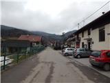
From the road Škofja Loka - Žiri, in the settlement Trebija we turn right (from the direction Žiri left) towards the center of the settlement, where we park on a parking lot in front of the fire station.
Route description:
From the fire station we continue on the road which past the chapel and house, where fire brigade Trebija was established, brings us to a crossroad, at which there is a cross.
From the crossroad, we continue left (straight - the road towards Stara Oselica and Ermanovec) and on the road which offers nice views towards Trebija, we ascend to the nearby farm, where on the yard the markers direct us to the right, on the path which continues below the shelter. The path ahead for a short time leads on a cart track, then by the edge of the forest we ascend into the forest, where an overgrown, but quite well-marked path appears. A little higher we reach the cart track and follow it to the right, from it we soon go left and ascend to another cart track, which we also follow to the right. When we reach the asphalt road we go left, and we ascend on it to the homestead Burnik, where the marked path from the asphalt road turns left onto a cart track, and we continue on the asphalt road which higher returns into the forest and brings us to a smaller crossroad, where we continue towards Ermanovec and Sveti Pavel (slightly left Rovtar).
Next follows a diagonal ascent towards the right, where the path leads us past a few smaller waterfalls, when we leave the forest the road splits. To the right leads a short path to the church of St. Pavel, and we continue slightly left and ascend above the hamlet. When the houses on the right end, on the right a nice view opens up towards the church, and the road higher passes into the forest through which we continue for a short time. When we leave the forest, there follows some more diagonal ascent towards the right. On Sleme we join the marked path from Hotavlje, where we go sharply left towards Ermanovec.
Next follows an easy ascent and the path brings us to the spot where the marked path splits.
We continue on the left path, which leaves the road (right - mountain hut on Ermanovec, path which bypasses the peak of Ermanovec) and continues on a cart track. At first we walk by the edge of the hay meadow, and the path slowly turns slightly towards the left. At the junctions we follow the markers, and the path soon passes into the forest and ascends to a small saddle, where there is a marked junction.
We continue left in the direction of the settlement Trebija (slightly right - mountain hut on Ermanovec, right - Ermanovec) and continue walking on a gentle cart track which soon brings us out of the forest onto the upper slope of Vršnikov grič. Here we leave the marked path, which bypasses the peak somewhat to the right, and walk to the indistinct peak. At the far northern part of the peak there are several antennas.
Trebija - Sveti Pavel 1:00, Sveti Pavel - Vrhovski grič 0:45.
The description refers to the condition in December 2020, and the pictures are from January and December 2020.

Along the route: Sveti Pavel (Stara Oselica) (728m)
The trip can be extended to the following destinations: Štor ( 35 min)
Photos:
 1
1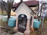 2
2 3
3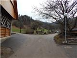 4
4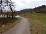 5
5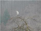 6
6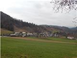 7
7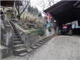 8
8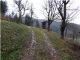 9
9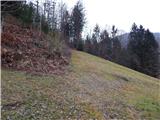 10
10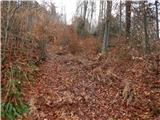 11
11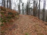 12
12 13
13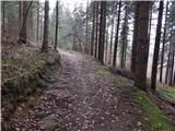 14
14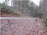 15
15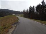 16
16 17
17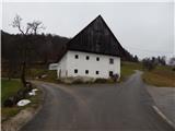 18
18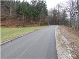 19
19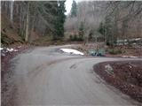 20
20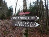 21
21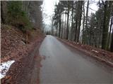 22
22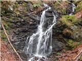 23
23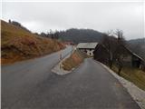 24
24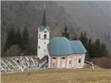 25
25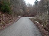 26
26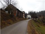 27
27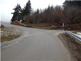 28
28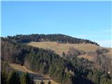 29
29 30
30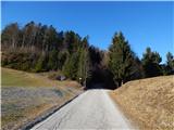 31
31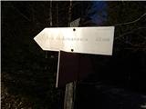 32
32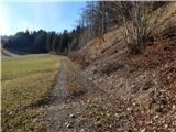 33
33 34
34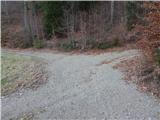 35
35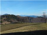 36
36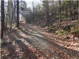 37
37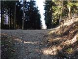 38
38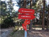 39
39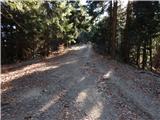 40
40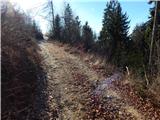 41
41 42
42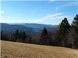 43
43 44
44 45
45 46
46
Discussion about the trip Trebija - Vrhovski grič (via Sveti Pavel)
To post a comment you must log in:
If you do not yet have a username, you must first
register.