Bistrica ob Sotli - Castle Kunšperk (Pot ljubezni)
Starting point: Bistrica ob Sotli (200 m)
Route name: Pot ljubezni
Walking time: 1 h
Difficulty: easy marked way
Elevation gain: 226 m
Elevation difference along the route: 236 m
Map:
Recommended equipment (summer):
Recommended equipment (winter):
Views: 510
 | 1 person like this post |
Access to starting point:
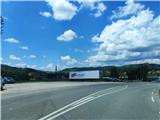
a) We leave the Ljubljana - Zagreb highway at the exit for Brežice, then follow the signs for Bistrica ob Sotli and drive to the mentioned settlement, where we park in a suitable place (preferably at the northern entrance to the settlement, where there is a larger parking lot or near the cemetery).
b) We leave the Ljubljana - Maribor highway at the Dramlje exit, then follow the signs for Šentjur, and from Šentjur the signs for Kozje, then continue towards Bizeljsko and Bistrica ob Sotli. When we arrive at the settlement Bistrica ob Sotli, we park in one of the parking lots in the settlement.
c) From the Maribor - Ljubljana highway, we take the Slovenska Bistrica south exit, then follow the signs for Podčetrtek, and from there the road towards Bistrica ob Sotli. When we arrive at the settlement Bistrica ob Sotli, we park in one of the parking lots in the settlement.
Route description:
From the spot where we parked, we first walk to the center of the settlement, where we will notice an information board and signposts, and we head on the path towards Kunšperk, which also leads us past a snack bar.
When we leave the settlement, we continue on an asphalt road to the village Kunšperk (orientation is easy, as we walk along the foot of the hill the entire time).
In the village Kunšperk, we will reach a bench and an information board, behind which we soon turn right into the forest (when the description was written, the board was overgrown with vegetation).
The path ahead becomes quite steep and follows a forested cart track, where the ground is quite muddy and slippery during and after rain. Next, we follow a few hairpin turns and arrive at a concrete water supply structure.
At the next turn, we leave the cart track and turn right onto a narrower footpath.
The footpath first leads through a smaller, partly rocky trench, then transforms into a forest path. The steepness higher up decreases, and after some more walking, we reach the ruins of the once mighty castle Kunšperk.
The castle is increasingly overgrown by the forest, but despite this, a view opens up slightly to the north.

Photos:
 1
1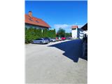 2
2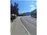 3
3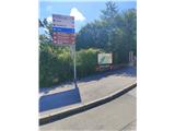 4
4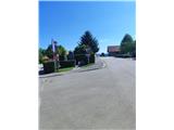 5
5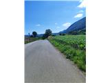 6
6 7
7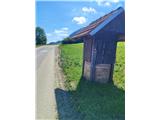 8
8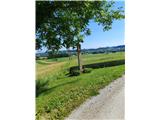 9
9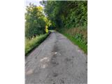 10
10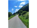 11
11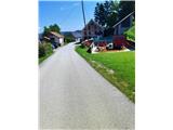 12
12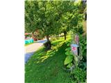 13
13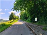 14
14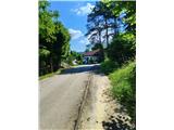 15
15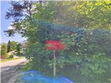 16
16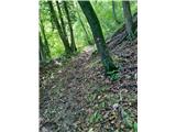 17
17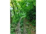 18
18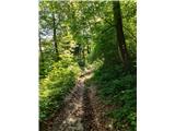 19
19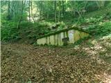 20
20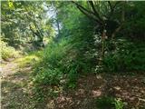 21
21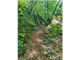 22
22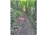 23
23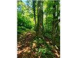 24
24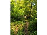 25
25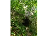 26
26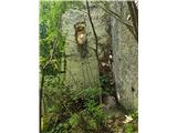 27
27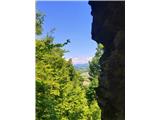 28
28
Discussion about the trip Bistrica ob Sotli - Castle Kunšperk (Pot ljubezni)
To post a comment you must log in:
If you do not yet have a username, you must first
register.