Celje - Old Castle of Celje (Celje - Stari grad na Grajskem hribu - Teharje)
Starting point: Celje (241 m)
Path name: Celje - Stari grad na Grajskem hribu - Teharje
Time of walking: 1 h 30 min
Difficulty: easy marked way
Difficulty of skiing: no data
Altitude difference: 166 m
Altitude difference (by path): 290 m
Map: Posavsko hribovje Boč - Bohor 1:50.000
Access to starting point:
Celje, the third largest Slovenian town accessible from several sides. You park somewhere between the railway station and the bridge through river Savinja in the direction of Laško. The problem could be, because the parking lots are mainly payable... if you come by train, these problems fall away.
Path description:
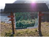
We start at the bridge over Savinja at the sign with panorama image of Celje hills. The path is to the turn-off for Teharje in the settlement Osenca also the initial part of Celje mountain trail. In the first part we walk on the path between the river Savinja and the railway track to the confluence of the rivers Voglajna and Savinja. We continue over a bridge and under the railway track to the right and further on the path Pelikanova pot on castle Stari grad.
From the castle we continue left steeply uphill past the inn Tlačan and we follow a well-hardened path through the settlement Osenca. The path is partly asphalted, partly it is a macadam and the section through the forest is a mountain path.
In the settlement Osenca, at the crossing, which is very well marked with signposts, we continue left below the homestead and we cross a fenced pasture. After the crossing pasture, we continue steeply downwards through the forest on a typical forest mountain path and we soon reach the crossing at NOB monument. We continue on the forest road along the stream and we reach an asphalt road at Voglajna. Through Voglajna there is industrial zone Železarna Štore. At the juncture with an asphalt road, we continue left and after few hundred metrers of walking, we conclude the path at the bridge over the river Voglajna, where there is the end of the town Celje and on the other side of the bridge there is the beginning of the settlement Teharje. At the bridge there are also signposts.
The distance of the path from Celje is 4.5 kilometers, 290 altitude meters.
Pictures:
 1
1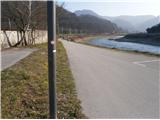 2
2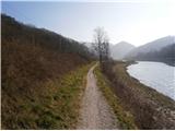 3
3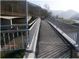 4
4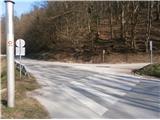 5
5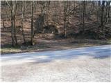 6
6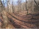 7
7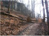 8
8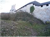 9
9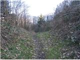 10
10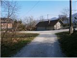 11
11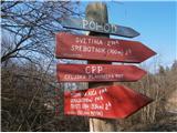 12
12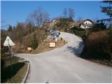 13
13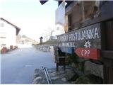 14
14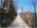 15
15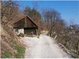 16
16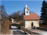 17
17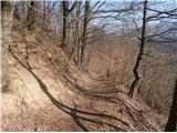 18
18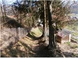 19
19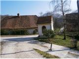 20
20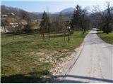 21
21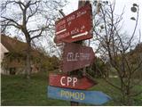 22
22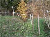 23
23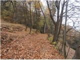 24
24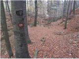 25
25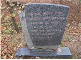 26
26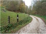 27
27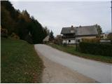 28
28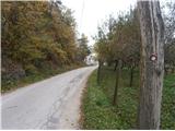 29
29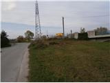 30
30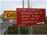 31
31