Parkirišče Kot - Bivacco Costantini (via Skutnik)
Starting point: Parkirišče Kot (1082 m)
| Latitude/Longitude: | 46,33183°N 13,42240°E |
| |
Route name: via Skutnik
Walking time: 2 h 50 min
Difficulty: partly demanding marked way
Elevation gain: 568 m
Elevation difference along the route: 720 m
Map: Julijske Alpe - zahodni del 1:50.000
Recommended equipment (summer):
Recommended equipment (winter): ice axe, crampons
Views: 175
 | 2 people like this post |
Access to starting point:
Over the border crossing in Rateče we drive through Trbiž / Tarvisio. If we drive on the highway, we leave it at the exit for Tablja / Pontebba. We continue driving on the old road in the direction of Videm / Udine. In the settlement Na Bili / Resiutta we turn left towards the valley of Rezija (Val Resia). Further, we drive on a narrower asphalt road and follow the signs for the settlement Solbica / Stolvizza and then for the settlement Korito / Coritis. Along the narrow and occasionally steep road we drive to the village of Korito. From the village of Korito we continue for approximately 3.5 km along an even slightly narrower road to the parking lot below the mountain pasture Kot / Malga Coot.
Access is also possible on a narrow and winding road through the border crossing Učja.
Route description:
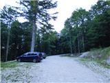
From the parking lot, we continue along the road that is closed to public traffic by a traffic sign. The stone-paved road ascends through the forest and after a few turns brings us to the beginning of Planina Kot. We continue along the ascending road that leads us past several information boards and brings us to the cottage on the mountain pasture.
A few meters before the cottage, where the signposts stand, we leave the road and turn left onto a footpath. The footpath leads us across the mountain pasture and soon we arrive at the next junction. We head right in the direction of the summit of Monte Guarda (Skutnik) and, after a short traverse, join a cart track. We continue left along the cart track, which at the end of the mountain pasture turns right into the forest. An ascent through the forest follows, where the cart track gradually turns into a footpath. Higher up, the path brings us to a marked junction, where a diagonal path branches off to the right towards the summit of Monte Plagne (Vrh Planje).
We continue left towards Skutnik (Monte Guarda) and ascend for some time, mostly alongside bushes and dwarf pines. Later, a traverse path branches off to the left that bypasses the summit of Skutnik, while we continue right and soon reach the ridge, from which a magnificent view also opens towards the Soča Valley. On the ridge, at the junction, we continue left and along the path that runs along the grassy ridge; soon we reach the panoramic summit.
From the summit we continue along the footpath that descends the northwestern slope of the mountain and leads us along the ridge, which is occasionally slightly exposed on its western side. The already mentioned footpath that bypasses the summit of Skutnik then joins us from the left. We continue along the ridge, which takes us over the less prominent peak Ojstrk and the saddle Forcella Predolina. At the memorial plaque the path leaves the ridge to the left and then traverses steeper slopes on the western side of Mala Baba for quite some time. During the traverse the path descends slightly. When we reach the northwestern side of Mala Baba, another path from Planina Kot joins from the left. We continue straight ahead and soon reach the Costantini bivouac, which stands below the rocky tower Mulac (Mulaz).

Photos:
 1
1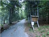 2
2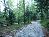 3
3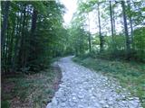 4
4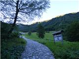 5
5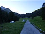 6
6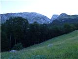 7
7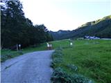 8
8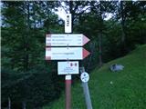 9
9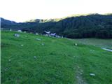 10
10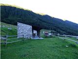 11
11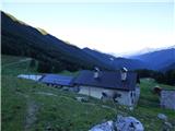 12
12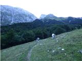 13
13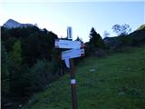 14
14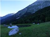 15
15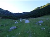 16
16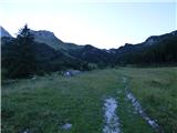 17
17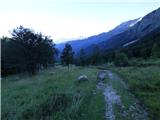 18
18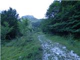 19
19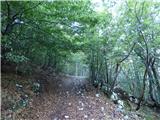 20
20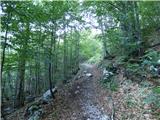 21
21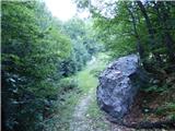 22
22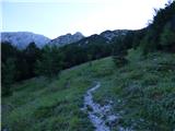 23
23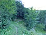 24
24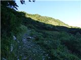 25
25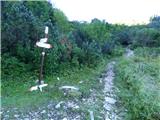 26
26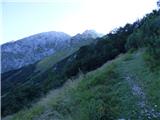 27
27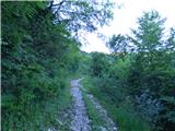 28
28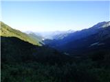 29
29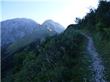 30
30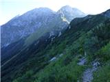 31
31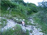 32
32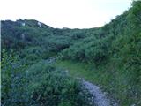 33
33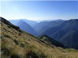 34
34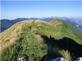 35
35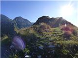 36
36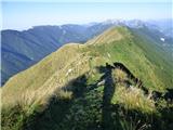 37
37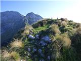 38
38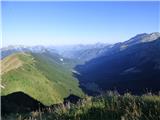 39
39 40
40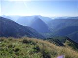 41
41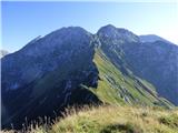 42
42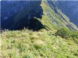 43
43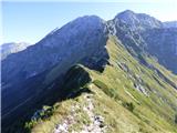 44
44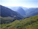 45
45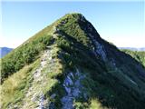 46
46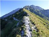 47
47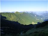 48
48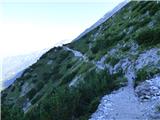 49
49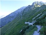 50
50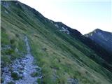 51
51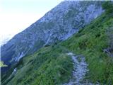 52
52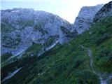 53
53 54
54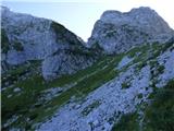 55
55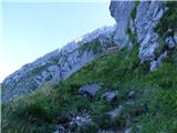 56
56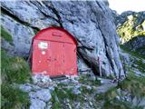 57
57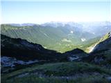 58
58
Discussion about the trip Parkirišče Kot - Bivacco Costantini (via Skutnik)
To post a comment you must log in:
If you do not yet have a username, you must first
register.