Deutschfeistritz - Kugelberg
Starting point: Deutschfeistritz (420 m)
| Latitude/Longitude: | 47,19908°N 15,33172°E |
| |
Walking time: 30 min
Difficulty: easy unmarked way
Elevation gain: 213 m
Elevation difference along the route: 245 m
Map: https://www.bergfex.at
Recommended equipment (summer):
Recommended equipment (winter):
Views: 79
 | 1 person like this post |
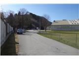
Access to starting point:
We leave highway Maribor-Graz-Salzburg (A9) after a few shorter tunnels outside Graz and we continue right on the highway in the direction of Wien-Bruck/Muhr-Peggau.
We leave the highway at exit Peggau-Mitte and we continue right in the direction of Deutschfeistritz.
After approximately 800 meters we again turn right in the direction of Deutschfeistritz.
We get to the settlement Deutschfeistritz, we cross a railway track and at the next crossroad, we turn left and then immediately right (sign Tennishalle).
We drive on a narrower street and at the next crossing we turn right (sign Tennishalle). We get to the parking lot, where we park.
Route description:
From the parking lot, we go back in the direction of arrival to the crossroad with the main road.
At the crossroad, we turn left and cross the bridge over the river Übelbach.
We head toward the hill in front of us. The Way of the Cross leads us past several stations to the summit of Kirchberg, where the church of St. Martin stands.
From the church, we descend on the other side along a narrower asphalt road. Before reaching the bench, we leave the road and turn left onto a forest footpath.
The steep footpath over the ridge of Kugelstein brings us relatively quickly to the highest point of the ridge, the summit of Kugelberg.
The peak of Kugelberg is not particularly marked; it is only indicated by a simple border stone.
From the top, there is no view due to the forest, but on the path to the top, some sections offer a nice view of the town of Peggau and the surrounding hills.
The path is easy and unremarkable, though it is slightly steeper at the beginning along the ridge.

Photos:
 1
1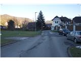 2
2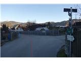 3
3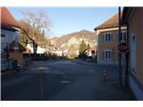 4
4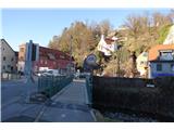 5
5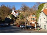 6
6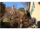 7
7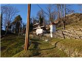 8
8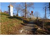 9
9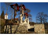 10
10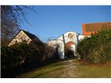 11
11 12
12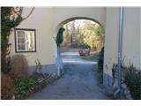 13
13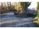 14
14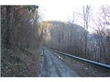 15
15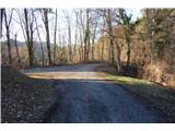 16
16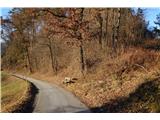 17
17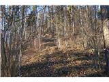 18
18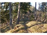 19
19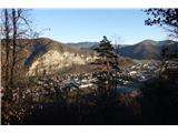 20
20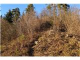 21
21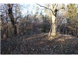 22
22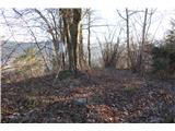 23
23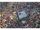 24
24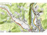 25
25
Discussion about the trip Deutschfeistritz - Kugelberg
To post a comment you must log in:
If you do not yet have a username, you must first
register.