Dom pod Storžičem - Bašeljski vrh (via Javorniški preval)
Starting point: Dom pod Storžičem (1123 m)
Starting point Lat/Lon: 46.3586°N 14.3906°E 
Path name: via Javorniški preval
Time of walking: 2 h 50 min
Difficulty: partly demanding marked way
Difficulty of skiing: no data
Altitude difference: 621 m
Altitude difference (by path): 750 m
Map: Karavanke - osrednji del 1:50.000
Access to starting point:
We drive to Tržič, and then we follow the signs for gorge Dovžanova soteska, still before the end of Tržič we turn right in the direction of Lom pod Storžičem, Grahovše and mountain hut Dom pod Storžičem. After the settlements, the asphalt ends, and we follow the macadam road in the direction of Dom pod Storžičem. Higher, a macadam road becomes on parts rough, and we follow it to the parking lot near the mountain hut Dom pod Storžičem.
Path description:
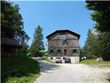
From the parking lot near the mountian hut Dom pod Storžičem we go on the left road in the direction of Javorniško sedlo, Jezersko, Tič, Rekar and Grahovše. After few steps the road splits, and we continue slightly right towards the saddle Javorniški preval and we gradually start moderately ascending.
Higher, when the road changes into a cart track, we leave it and we continue right on a marked path which starts ascending steeper, and to a saddle Javorniški preval we two more times cross a cart track, on which it is also possible to get to Javorniški preval. After approximately 1 hour of walking, we reach the mentioned saddle, where there are religious symbol and inscription box and where there is a crossing of multiple paths.
We continue slightly right in the direction of Kališče and Jezersko (left - mountain pasture Planina Javornik, slightly left - saddle Močnikovo sedlo, right - Storžič) and at first, we cross slopes of Škarjeva peč, and we quickly start descending diagonally. After the crossing of the torrent, the path splits, and we choose the right path (left path descends towards Jezersko), which is still crossing the slopes. Further, we gradually get to steeper slopes, where the path is poorly beaten and mainly in wet it is dangerous for slipping. In further crossing, follows few more passages through gullies, where additional caution is needed, and when we leave the forest, the slope becomes less steep and passes on gentle scree. After the scree we gradually start ascending, and after the crossing of a short slightly exposed rocky part, the path for a short time becomes very steep and leads us among bushes and dwarf pines. When the steepness decreases, follows few minutes of a diagonal ascent towards the left and we join the path from Jezersko.
We continue right and through a torrent gully on a maintained path we ascend on a saddle Bašeljski preval, from where a nice view opens up towards the south.
We continue left towards Kališče (right - Storžič), and the path towards Kališče we leave few steps before the bench and we continue left on a footpath, by which there is usually a cairn. Through a short lane of dwarf pines, the path brings us on grassy sand terrain, where the footpath for some time vanishes, and on the upper part of the mentioned part, the footpath again appears and leads us through dwarf pines. Next follows few minutes of a steep ascent, and when we reach the ridge, we join the path from Kališče.
Here we go right and in few 10 strides of panoramic walking we reach a bench and inscription box on Bašeljski vrh.
Dom pod Storžičem - Javorniški preval 1:00, Javorniški preval - Bašeljski preval 1:30, Bašeljski preval - Bašeljski vrh 0:20.
Description and pictures refer to a condition in August 2020.
On the way: Javorniški preval (1467m), Bašeljski preval (1631m)
Pictures:
 1
1 2
2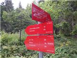 3
3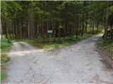 4
4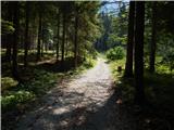 5
5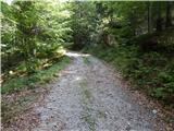 6
6 7
7 8
8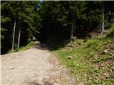 9
9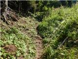 10
10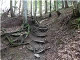 11
11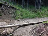 12
12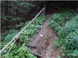 13
13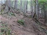 14
14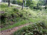 15
15 16
16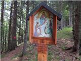 17
17 18
18 19
19 20
20 21
21 22
22 23
23 24
24 25
25 26
26 27
27 28
28 29
29 30
30 31
31 32
32 33
33 34
34 35
35 36
36 37
37 38
38 39
39 40
40 41
41 42
42 43
43 44
44 45
45 46
46 47
47 48
48 49
49 50
50 51
51 52
52 53
53 54
54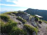 55
55