Dom pod Storžičem - Dom na Kališču (via Krničarjeva koča on Planina Javornik)
Starting point: Dom pod Storžičem (1123 m)
Starting point Lat/Lon: 46.3586°N 14.3906°E 
Path name: via Krničarjeva koča on Planina Javornik
Time of walking: 3 h 15 min
Difficulty: partly demanding marked way
Difficulty of skiing: no data
Altitude difference: 411 m
Altitude difference (by path): 540 m
Map: Karavanke - osrednji del 1:50.000
Access to starting point:
From highway Ljubljana - Jesenice we go to the exit Ljubelj (Tržič), and then we continue driving towards Ljubelj. Just before the gas station in Bistrica pri Tržiču we leave the main road and we continue driving right in the direction of Tržič. Further, we drive through Tržič in the direction of gorge Dolžanova soteska, and then at the end of the town we continue right in the direction of Lom pod Storžičem and Grahovše. At the end of the village Grahovše asphalt ends, and further we follow the macadam road in the direction of the mountain hut Dom pod Storžičem. This in the upper part steeper macadam road, we then follow to the parking lot near the mountain hut Dom pod Storžičem.
Path description:
From the starting point near the mountain hut Dom pod Storžičem we short time continue on the road (direction Storžič), and then we go on parallel mountain path, that is gently ascending by the edge of a meadow. On the upper part of the meadow we get to a smaller wooden cottage, where the path splits into two parts. We choose the slightly right path (left Storžič through Žrelo and over Škarjev rob), which continues on and by relatively steep cart track. The path higher flattens a little and turns to the right. Further, we are for some time ascending diagonally towards the right, and then we get by the edge of steep gully, through which we diagonally ascend to the nearby wide cart track which we reach right at its end. The mentioned cart track we immediately leave and we continue slightly left in the forest. We for some time continue through the forest, on the path which is for some time descending gently, and then we get to a smaller crossing, from where we continue in the direction of Mala Poljana.
From the crossing ahead, the path again starts ascending, and it all the time crosses slopes towards the right. Higher, we reach the cart track, on which we quickly walk to near Mala Poljana.
From Mala Poljana, where joins the path from Zalog, we continue left in the direction of Velika Poljana. The path which ahead runs on a cart track, quickly goes into the forest, through which it is then ascending diagonally. After few minutes of walking, we come to panoramic slopes, from which a nice view opens up on surrounding mountains. Only a little further, the cart track turns to the right and after a short ascent, it brings us on the upper edge of Velika Poljana, from where we in few minutes descend to the cottage.
From the cottage on Velika poljana we go left in the direction of Kališče, where without large changes in altitude we cross grassy slopes of the mountain pasture, and the path soon brings us into the forest, where with some shorter ascents and descents crosses occasionally steeper slopes towards the right. The footpath which is on some steeper parts mainly in wet dangerous for slipping, after approximately half an hour of walking from Velika Poljana brings us to the cottage Krničarjeva koča on Planina Javornik.
We continue on the right side of the cottage and we continue in the direction of Kališče and Storžič. We still cross the slopes towards the right and we get to the southwestern groove of Storžič, where there is the next marked crossing.
Upwards continues the path on Storžič, right downwards we descend in Povlje, and we continue slightly right on the path in the direction of Kališče.
The path ahead passes into the forest and again crosses steeper slopes towards the right, and occasionally from the path a nice view opening up on Gorenjska. Traversing then brings us to a crossing, where joins the path from Bašelj, which leads past Sveti Lovrenc.
We continue in the direction of Kališče, and the path from the crossing ahead becomes even a little narrower and less beaten. Further, we for quite some time still cross the slopes towards the east. On the path, there are taking turns forest and grassy slopes, which are on some spots also pretty steep. While crossing the path occasionally ascends a little steeper, and few times also slightly descends. In the second part of the crossing, the path brings us to the source below the saddle Bašeljsko sedlo. Here the path turns slightly to the right and is still crossing slopes until it brings us to a marked crossing, where we continue right towards the mountain hut Dom na Kališču (left Storžič, straight or slightly left Bašeljski vrh and Mali Grintovec).
From the crossing ahead follows a walk on a wide panoramic ridge, on which in few minutes we get to the mountain hut Dom na Kališču.
Dom pod Storžičem - Mala Poljana 1:00, Mala Poljana - Velika Poljana 0:15, Velika Poljana - Krničarjeva koča 0:30, Krničarjeva koča - Dom na Kališču 1:30.
On the way: Mala Poljana (1325m), Velika Poljana (1410m), Krničarjeva koča na planini Javornik (1390m)
Pictures:
 1
1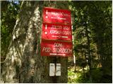 2
2 3
3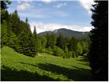 4
4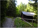 5
5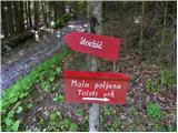 6
6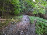 7
7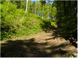 8
8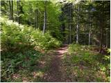 9
9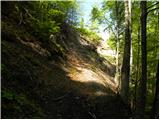 10
10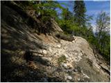 11
11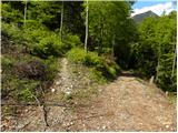 12
12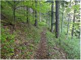 13
13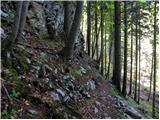 14
14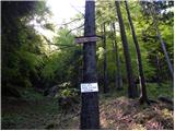 15
15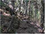 16
16 17
17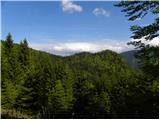 18
18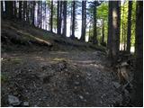 19
19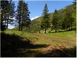 20
20 21
21 22
22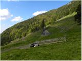 23
23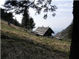 24
24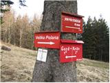 25
25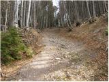 26
26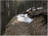 27
27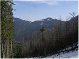 28
28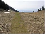 29
29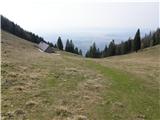 30
30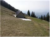 31
31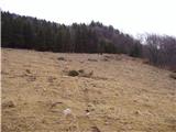 32
32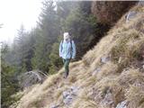 33
33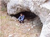 34
34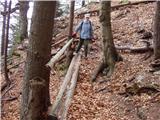 35
35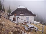 36
36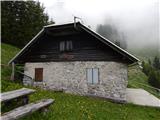 37
37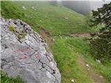 38
38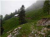 39
39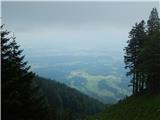 40
40 41
41 42
42 43
43 44
44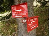 45
45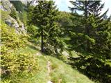 46
46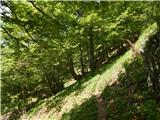 47
47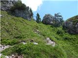 48
48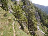 49
49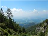 50
50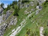 51
51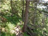 52
52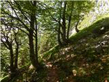 53
53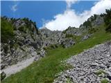 54
54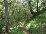 55
55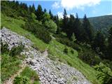 56
56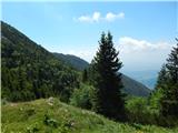 57
57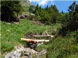 58
58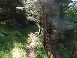 59
59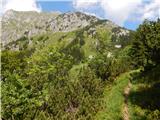 60
60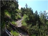 61
61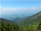 62
62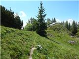 63
63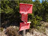 64
64 65
65 66
66 67
67 68
68 69
69