Dravograd (na Meži) - Anski vrh (above Pameče)
Starting point: Dravograd (na Meži) (363 m)
| Latitude/Longitude: | 46,58530°N 15,02640°E |
| |
Walking time: 3 h
Difficulty: easy marked way
Elevation gain: 393 m
Elevation difference along the route: 600 m
Map: Koroška 1:50.000
Recommended equipment (summer):
Recommended equipment (winter): ice axe, crampons
Views: 774
 | 1 person like this post |
Access to starting point:
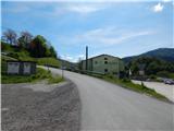
A) From Slovenj Gradec or Ravne na Koroškem we drive to Dravograd, and then just before crossing the Drava River we continue right (we turn right at the first right junction). This is followed by crossing the railway track, and then we are already at the beginning of the described path at the Agricultural and Forestry Cooperative Koroška. At the starting point, there are no arranged parking spots for hikers.
B) From Maribor we drive to Dravograd, where we continue left towards Slovenj Gradec and Ravne na Koroškem. After the bridge over the Drava River we take the second street left. This is followed by crossing the railway track, and then we are already at the beginning of the described path at the Agricultural and Forestry Cooperative Koroška. At the starting point, there are no arranged parking spots for hikers.
Route description:
On the other side of the railway track we go right, then before the Agricultural and Forestry Cooperative Koroška left onto the ascending asphalt road. Along the asphalt road we continue to the nearby right hairpin bend, from where we continue straight in the direction of the marked path (near the junction there are a few parking options). This is followed by ascent on the macadam road to the nearby house, behind which the road turns into a cart track, along which we continue the ascent through the forest. We ascend the cart track for a few minutes, then we arrive at the area damaged by the windstorm. Here we go right from the cart track onto a well-maintained path, which ascends over the slope with nice views, the slope which is slowly overgrowing. The exemplarily repaired path makes a few hairpin turns, then it ascends transversely to the viewpoint Skala, where there is a logbook box and from where a nice view opens towards Dravograd.
We continue along the marked path, which a bit higher brings us to a cart track, where the path forks. We head left towards Šisernik (also possible right towards Vinkler), while the cart track shortly ahead turns sharply right. This is followed by a short transverse ascent, then the cart track ends. This is followed by a short steep ascent, then we reach another cart track, which we follow right (on this section a trodden path leads somewhat off the old marked path).
This is followed by a shorter traverse to the right, then we join the path past Vinkler.
We continue left, where first a nice view opens, then the path ascends along the cart track, where at junctions we continue straight. Higher up the path levels out, and the cart track brings us with occasional views to the junction at the farm Ošlovnik.
We continue right towards the Šisernik path and begin to descend transversely along the road. During the descent the path leads past a few houses at the farm Kržečnik, then through the forest we reach Cvitrško sedlo, where we exit the forest and where there are several successive junctions. Along the road we go to the sign, from the sign we head onto the initially poorly traceable path towards Golarjev vrh, where we ascend along the edge of the hayfield or indistinct ridge. Here, looking back, a nice view opens onto Mežnarjev vrh and the church of St. Daniel, and the path a bit higher enters the forest and brings us to the macadam road.
We follow the road right (straight to Golarjev vrh), along which in a few minutes we arrive at the homestead Kljuk, where a nice view opens towards Peca, and the path behind the farm turns slightly left into the forest, where it continues transversely along a gentle cart track. In the forest we follow the marks, and when we exit the forest we quickly descend to the road, which we follow left. Along the road, which we reach at the farm Gnamuš, we quickly arrive at the chapel, located on the saddle between Golarjev and Potoški vrh. We continue along the road, which descends transversely for quite some time, from which occasionally a view opens towards the church of St. Anne on Anski vrh. Somewhat further from the homestead Lubas the marks for the Šisernik path direct us left onto a cart track, which continues through the forest. After crossing the small spring the path ascends to a smaller saddle, where on the right we notice a sign.
Here we leave the marked path and continue right past the sign (straight to Kremžarjev vrh), where for a few minutes we continue along the gentle path, then we descend to the macadam road. We walk along the road for a short time, then continue slightly right onto the parallel cart track (we can also continue along the road), from which soon a trodden path branches slightly left, along which we continue. We walk through the forest for a few minutes, then across the meadow we return to the macadam road, which we follow right, along which we walk to the church of St. Anne, from which a nice view opens.
Dravograd - Skala 0:25, Skala - Cvitrško sedlo 1:00, Cvitrško sedlo - Anski vrh 1:35.
Description and pictures refer to the condition in 2019 (May).

Along the route: Skala (nad Dravogradom) (525m), Cvitrško sedlo (677m)
Photos:
 1
1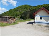 2
2 3
3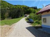 4
4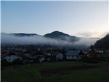 5
5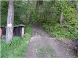 6
6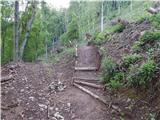 7
7 8
8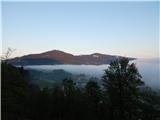 9
9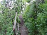 10
10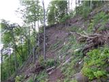 11
11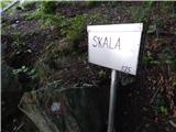 12
12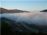 13
13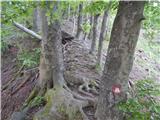 14
14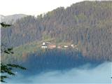 15
15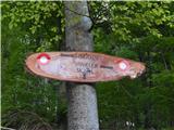 16
16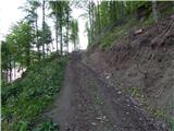 17
17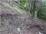 18
18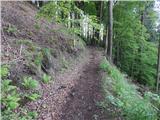 19
19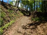 20
20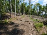 21
21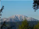 22
22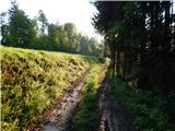 23
23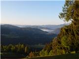 24
24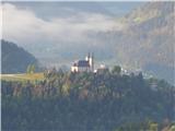 25
25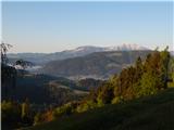 26
26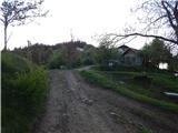 27
27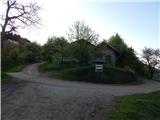 28
28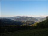 29
29 30
30 31
31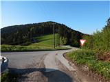 32
32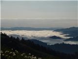 33
33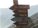 34
34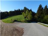 35
35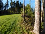 36
36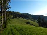 37
37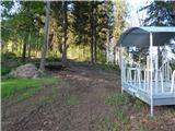 38
38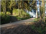 39
39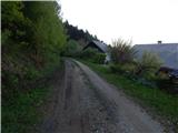 40
40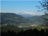 41
41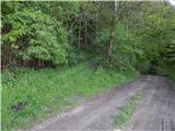 42
42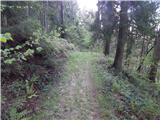 43
43 44
44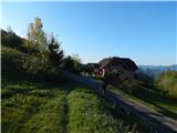 45
45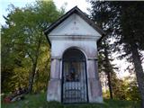 46
46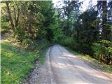 47
47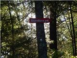 48
48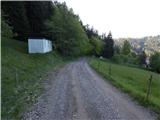 49
49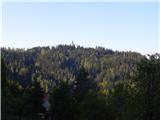 50
50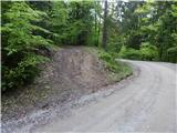 51
51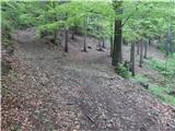 52
52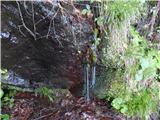 53
53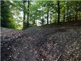 54
54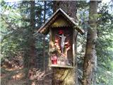 55
55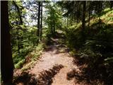 56
56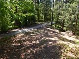 57
57 58
58 59
59 60
60 61
61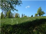 62
62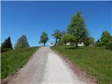 63
63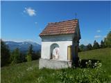 64
64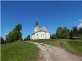 65
65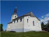 66
66 67
67
Discussion about the trip Dravograd (na Meži) - Anski vrh (above Pameče)
To post a comment you must log in:
If you do not yet have a username, you must first
register.