Eisenberg an der Raab - Tromejnik / Dreiländerecke / Harmashatar (by the border)
Starting point: Eisenberg an der Raab (344 m)
Starting point Lat/Lon: 46.8892°N 16.13591°E 
Path name: by the border
Time of walking: 1 h 10 min
Difficulty: easy marked way
Difficulty of skiing: no data
Altitude difference: 46 m
Altitude difference (by path): 100 m
Map:
Access to starting point:
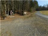
Over the border crossing Kuzma we drive to Austria and we continue driving towards the settlement Jennersdorf. From the roundabout before the highway we go to the first exit in the direction of the settlement Sankt Martin an der Raab, in the middle of the mentioned settlement we go right, so that we are further driving on Oberdrosener Landesstraße. After 3.5 km of driving on the mentioned road, we turn left on the road Oberberg and we start ascending. A little higher we go right (left - settlement Eisenberg) and then after approximately 50 meters we park on a parking lot at the information boards.
Path description:
From the starting point, we continue on the asphalt road, by which there are signs for Tromejnik / Dreiländereck, and when after a minute of walking, we get to the edge of the forest we go slightly right on a macadam road, on which we continue through the forest to few minutes distant guard tower.
From the tower we continue straight in the direction of tripoint, where we continue on a worse macadam road which changes into a cart track, and splits.
We continue on the slightly left path, which on the left side bypasses the nearby bee house (slightly right - path which mostly runs on the road) and continues by the national border between Austria and Hungary. Next follows few shorter ascents and descents, and from the left joins another path from Hungary, namely from the settlement Gornji Senik / Felsőszölnök. We for some time continue on a mostly forest path, and then we reach the forest road, where we continue on the left road (straight - Holzmannkogel, to the right leads the road towards the valley, and sharply right we can return to the guard tower). Next follows some easy descent and the path brings us in Zeminggraben, where we leave the road and we continue left into the forest (straight - path on the road). The path ahead leads us over a wooden bridge, and after the bridge we for some time steeply ascend. The steepness soon decreases and the path which leads us on national border we follow all the way to the top of Tromejnik.
The starting point - guard tower 0:10, guard tower - Tromejnik 1:00.
Description and pictures refer to a condition in February 2023.
Pictures:
 1
1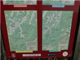 2
2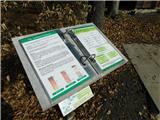 3
3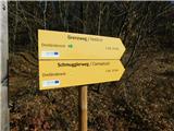 4
4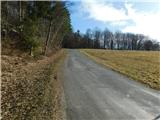 5
5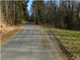 6
6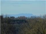 7
7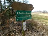 8
8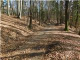 9
9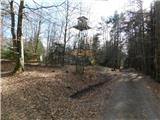 10
10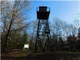 11
11 12
12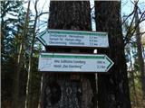 13
13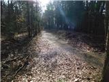 14
14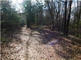 15
15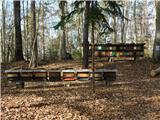 16
16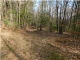 17
17 18
18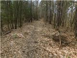 19
19 20
20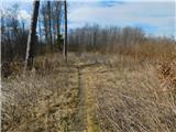 21
21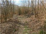 22
22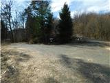 23
23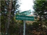 24
24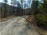 25
25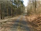 26
26 27
27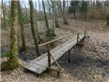 28
28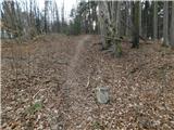 29
29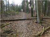 30
30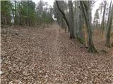 31
31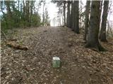 32
32 33
33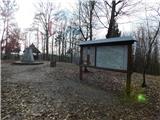 34
34