Zapornica (Belca) - Kresišče (by road)
Starting point: Zapornica (Belca) (1007 m)
| Latitude/Longitude: | 46,50410°N 13,91790°E |
| |
Route name: by road
Walking time: 3 h
Difficulty: easy unmarked way
Elevation gain: 832 m
Elevation difference along the route: 900 m
Map: Kranjska Gora 1:30.000
Recommended equipment (summer):
Recommended equipment (winter): ice axe, crampons
Views: 6.800
 | 2 people like this post |
Access to starting point:
Because of the rockfall, access to the described starting point is not possible until further notice (May 2018).
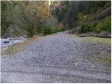
From the Ljubljana–Jesenice highway take the Jesenice–west exit, then continue driving on the regional road towards Kranjska Gora. Follow the mentioned road to the settlement Belca and a few 100 m further, then we will notice on the right side the beginning of the forest road which leads into the Belca valley. Further we drive on at first still wide, then narrower and occasionally quite precipitous forest road. Follow the scenic road which leads us through the tunnel to the marked parking lot by a smaller bridge at the confluence of Suhi graben and Beli potok.
If we continue driving over the bridge after which there is a green ramp, it can happen that it will be locked on our return.
Route description:
From the parking lot, we continue on the road, which immediately crosses a bridge behind which stands a green ramp. The road soon starts to ascend more steeply beside the scenic Suhi graben stream. Higher up we ascend above a nice waterfall, and the road a little further brings us to a crossroad, where we continue on the left road (right Kepa).
The road continues to ascend moderately, and we follow it at all crossroads along the "main" road. A little higher the road leads past a forestry cottage and a little higher past a trough with water. We continue to follow the road, which has a few more smaller crossroads, along the "main" road, and it brings us after the last sharp right turn to a smaller junction beside which there is usually a small cairn. Here the path to Mojstrovica over Bašinov breg branches off to the left, and we continue straight ahead following the road to its end.
From the end of the road we climb over the fence to the mentioned saddle, where there is a junction of unmarked paths. We continue slightly to the right onto the west side of the ridge (left Mojstrovica and Visoki vrh) along the path which quickly brings us to a small clearing, where we encounter the first orientation loop. We continue straight on the initially poorly visible path (not left), which ascends more steeply and brings us higher to a smaller pass. The path then turns right and starts descending the slope covered with larch forest. The path then bypasses Tišlerica (1757 m) in a semicircle and descends on the other side to a somewhat larger meadow. In the upper part of the mentioned meadow there is a small junction, where we continue northwards on the somewhat steeper path. The path ahead ascends in a few zigzags, then brings us to an indistinct saddle between Kresišče and Laskovec.
We continue on the path which towards the west and in a slight descent crosses the slopes of Kresišče. Here be careful as a poorly trodden path branches off to the right among the dwarf pines, which we follow to the summit. If we do not find this path ourselves we search for passages between the dwarf pines and keep the direction upwards towards the north.
In fog orientation is very difficult.
Starting point - Sedlič 1:45, Sedlič - Kresišče 1:15.

Photos:
 1
1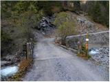 2
2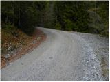 3
3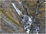 4
4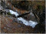 5
5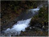 6
6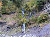 7
7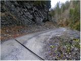 8
8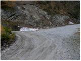 9
9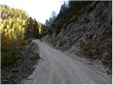 10
10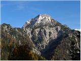 11
11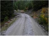 12
12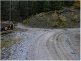 13
13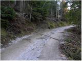 14
14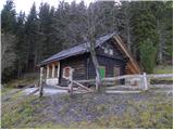 15
15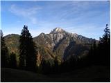 16
16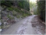 17
17 18
18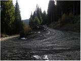 19
19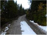 20
20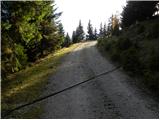 21
21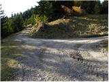 22
22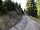 23
23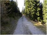 24
24115500.th.jpg) 25
25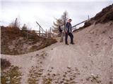 26
26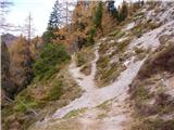 27
27 28
28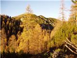 29
29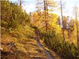 30
30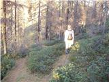 31
31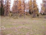 32
32 33
33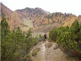 34
34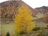 35
35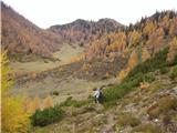 36
36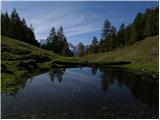 37
37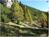 38
38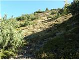 39
39 40
40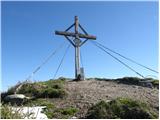 41
41
Discussion about the trip Zapornica (Belca) - Kresišče (by road)
|
| Gost17. 09. 2007 |
The path is one of the most beautiful in the Karavanke. A beautiful Sunday excursion also for less experienced and children. Panorama unique, especially the view into the Amphitheater surprised me.
Where does "Terčerca" come from, everywhere it's listed as Sedlišč?
|
|
|
To post a comment you must log in:
If you do not yet have a username, you must first
register.