Hunting cottage (Davča) - Porezen
Starting point: Hunting cottage (Davča) (1100 m)
Starting point Lat/Lon: 46.1806°N 14.0053°E 
Time of walking: 1 h 45 min
Difficulty: easy marked way
Difficulty of skiing: partly demanding
Altitude difference: 530 m
Altitude difference (by path): 550 m
Map: Škofjeloško in Cerkljansko hribovje 1:50.000
Access to starting point:
From Škofja Loka we drive towards Železniki and ahead on the road towards Podbrdo and Soriška planina. A little before the village Zali log road towards the ski slope Cerkno and village Davča branches off to the left. We go on this road which crosses a bridge and is then ascending by the river Davča upwards. An ascending road in numerous smaller crossroads we follow in the direction of the ski slope Cerkno, Porezen and waterfalls Davški slapovi. Higher, we come on a little bigger crossroad, where we continue right in the direction of Porezen and waterfalls Davški slapovi (sharply left on a priority road ski slope Cerkno). The road which is still ascending by the river Davča, higher brings us to a crossroad, where we continue sharply right in the direction of Porezen (straight waterfalls Davški slapovi ). The road ahead steeply ascends, makes a sharp left turn and past houses brings us to the chapel, where we continue right. The road ahead flattens, loses an asphalt covering and becomes worse. We park on one of smaller parking lots by the already mentioned increasingly bad road.
Path description:
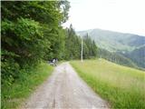
From the starting point, we continue on the road by which we've parked. The road at first leads by the edge of panoramic grassy meadows, and then passes on the left side of the ridge, where gradually starts descending. The road quickly descends into the forest and after few minutes brings us to a sharp left turn, in the middle of which wide cart track branches off to the right. We continue on a cart track (marked), which starts slightly ascending and it quickly brings us to a larger meadow.
Only few steps before the beginning of a meadow we will notice on the left side marked cart track which crosses a small well and passes into a dense forest. Further, we are ascending on the mentioned cart track which at crossings we follow in the direction of Porezen (blazes on a tree). Higher blazes from the cart track point us to the right on a steep footpath which higher gradually flattens, and then it is turning more and more towards the left. The path ahead crosses bigger gully, and then in a moderate ascent brings us out of the forest on pastures below Konjsko brdo (mountain pasture Planina Medrce). The path ahead ascends to abandoned cottage, behind which turns to the right and for a short time entirely flattens. Further, we come to a trough with water, and the path only few steps ahead splits into two parts.
We continue straight on a marked path (left shepherd hut 3 minutes), which again starts ascending, this time over more and more panoramic grassy slopes. After a short ascent, we step on a bad forest road which we follow to the right (from the spot, when we stepped on the road, we can continue the ascent also on a panoramic ridge path, which is ascending parallel with the road, in this case, we would come directly to the summit and bypassed mountain hut Dom na Poreznu). The road ahead crosses a short lane of a forest and then it ascends diagonally on the northwestern ridge of Porezen, where from the right side joins the marked path from Petrovo Brdo. We continue left and after few steps of additional walking, we get to the mountain hut Dom na Poreznu.
From the mountain hut, we continue on traverse path, which with nice views on Spodnje Bohinjske gore in 5 minutes of additional walking brings us to the summit of Porezen.
Pictures:
 1
1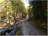 2
2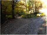 3
3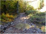 4
4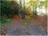 5
5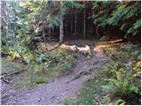 6
6 7
7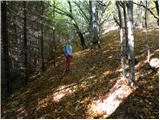 8
8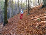 9
9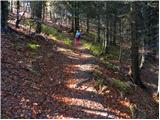 10
10 11
11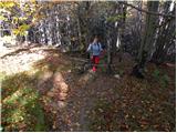 12
12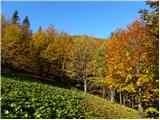 13
13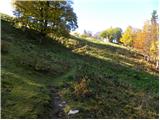 14
14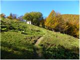 15
15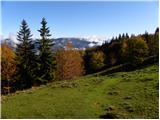 16
16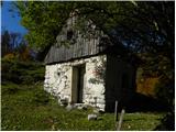 17
17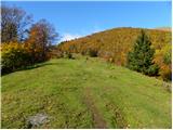 18
18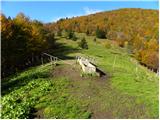 19
19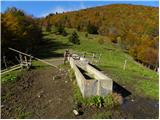 20
20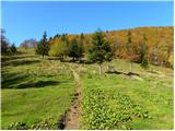 21
21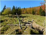 22
22 23
23 24
24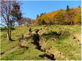 25
25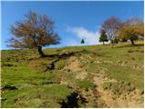 26
26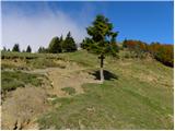 27
27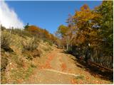 28
28 29
29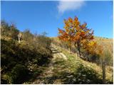 30
30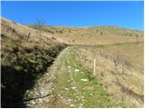 31
31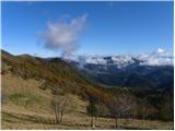 32
32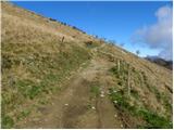 33
33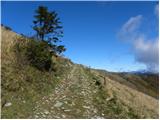 34
34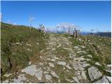 35
35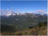 36
36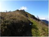 37
37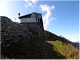 38
38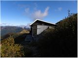 39
39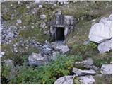 40
40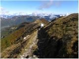 41
41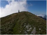 42
42 43
43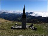 44
44 45
45