Ivanec Bistranski - Kameniti svati (pot številka 43)
Starting point: Ivanec Bistranski (140 m)
Path name: pot številka 43
Time of walking: 1 h 15 min
Difficulty: easy marked way
Difficulty of skiing: no data
Altitude difference: 342 m
Altitude difference (by path): 430 m
Map:
Access to starting point:
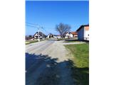
Cross the Gruškovje border crossing into Croatia and continue on the motorway towards Zagreb. Leave the motorway at the Zaprešić exit and continue driving towards the settlement of Donja Bistra. The road leads us to Bistranski Ivanec, where near the bus stop (approximately 100 metres further north) we notice the mountaineering signpost at the beginning of Vinobreška Street. Park the car in a suitable place in the settlement.
Path description:
From the starting point, head north along Vinobreška Street. The path soon becomes steep and leads us in a few switchbacks to the edge of the forest. Upon entering the forest, continue left towards the north, where in springtime a belt of ramsons awaits us. The path then narrows between two clearings and becomes somewhat technically more demanding.
It continues through a belt of lower and dense forest, where the ground is often muddy and slippery, so caution is required. On the most difficult section, constructed wooden bridges assist us. The path then leads to a stream, where it turns left towards the west in a loop.
A steep ascent through the forest follows. When we reach the area where blackberries grow, the path levels out, then turns right towards the southeast and becomes steep again. After a few minutes of steep ascent, turn sharply left, where the path levels again and leads onto a forest track. Along it, we ascend moderately towards the west until we reach the first junction, where paths from the Zagreb settlements Podsused and Bizek join from the right.
Continue towards Kameniti svati. The path begins to descend steeply, losing approximately 50 metres of elevation. At the end of the descent, the path levels and leads to the next track. Soon we reach a new junction, where a path from the village of Jablanovec joins from the left.
From the junction, only about a minute of steep ascent remains to the Kameniti svati mountain hut (480 m). The hut is open on Sundays and holidays; it is managed by HPD Susedgrad and mainly offers drinks.
From the hut, continue steeply upwards over roots to the rocky ridge. The path first leads to the summit rock, which is located in the forest and offers no view. After the summit, a short, somewhat more demanding section follows, after which we descend to a viewpoint offering an exceptional view to the west and towards Zagorje. Just a minute's walk further stands a large metal cross dedicated to Croatian martyrs.
Pictures:
 1
1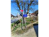 2
2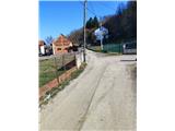 3
3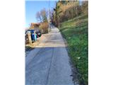 4
4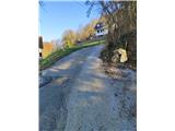 5
5 6
6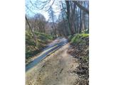 7
7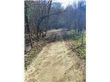 8
8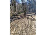 9
9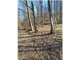 10
10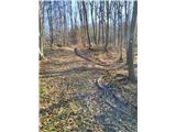 11
11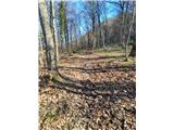 12
12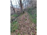 13
13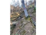 14
14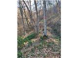 15
15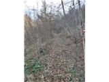 16
16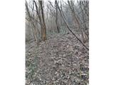 17
17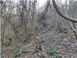 18
18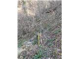 19
19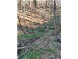 20
20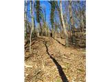 21
21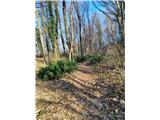 22
22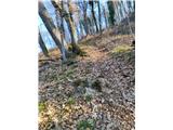 23
23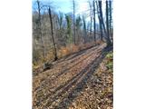 24
24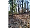 25
25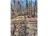 26
26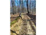 27
27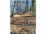 28
28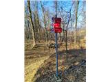 29
29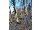 30
30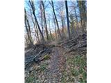 31
31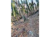 32
32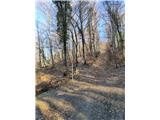 33
33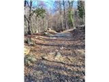 34
34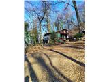 35
35 36
36 37
37 38
38 39
39 40
40 41
41 42
42