Jamnik - Partisan cottage on Vodiška planina (razgledna pot)
Starting point: Jamnik (834 m)
Starting point Lat/Lon: 46.274°N 14.208°E 
Path name: razgledna pot
Time of walking: 1 h 40 min
Difficulty: easy marked way
Difficulty of skiing: no data
Altitude difference: 274 m
Altitude difference (by path): 450 m
Map: Škofjeloško in Cerkljansko hribovje 1:50.000
Access to starting point:
First, we drive to Kropa (to here from Gorenjska highway exit Naklo, Podnart, Brezje or Radovljica), and then we continue driving on a zig zag road towards Dražgoše, Železniki and Jamnik. When the road flattens a little, it quickly brings us on Jamnik, and we follow it a little further to the information board, by which park. If here isn't enough space we can park few 10 meters lower by the road.
To the starting point, we can also come from the direction of Železniki through Dražgoše or from Kranj through Besnica and Podblica.
Path description:
From the starting point, we continue on the road towards Dražgoše, and it quickly brings us to the turning point for buses. Only a little further (at the road sign 6.5 km) we notice signs for Vodice, which point us sharply right on an ascending and at first also quite panoramic cart track. The path, from which beautiful views opening up on the highest peaks of Kamnik Savinja Alps, then passes into the forest and after few minutes of additional walking joins the path from Kropa.
Here we continue sharply left (direction Meta, Vodice) and on a relatively new cart track we ascend to the nearby forest road which we follow to the right. Further, we are for some time ascending on the mentioned road, and then immediately after sharp the left turn, blazes and signs for Vodice point us to the right on an ascending cart track. The cart track gradually narrows and at the crossings we follow it in the direction of Vodice. The path then flattens and further it leads us on a plateau terrain of forested Jelovica.
From the old cart track, eventually signs for Vodice point us to the right on an easy to follow footpath which gradually ascends on the ridge of Zidana skala. We some time walk by the ridge and then we get to the vantage point Zidana skala, from which a nice view opens up on Karawanks and Kamnik Savinja Alps.
From the vantage point, the path returns into the forest and then it is ascending by the edge of very steep and mainly in wet for slipping dangerous slopes. The path ahead is for few minutes ascending, and then turns slightly to the right and starts relatively steeply descending. During the descent, we still walk by the edge of steep slopes, which are dangerous for slipping, and also a memorial plaque of a hiker who died warns us of this. The path then gradually flattens and it brings us to NOB monument, where we join a wider cart track.
Here we go right and we continue on a cart track which after few minutes starts descending steeply towards the mountain pasture Vodiška planina. After a short descent, the path flattens and brings us on the mentioned mountain pasture, in the middle of which stands Partisan cottage.
Pictures:
 1
1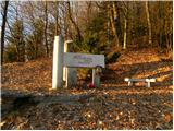 2
2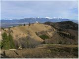 3
3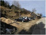 4
4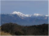 5
5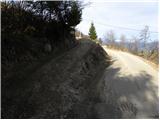 6
6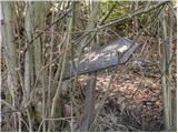 7
7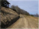 8
8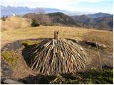 9
9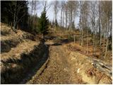 10
10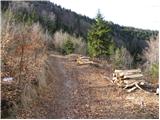 11
11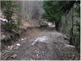 12
12 13
13 14
14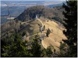 15
15 16
16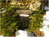 17
17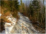 18
18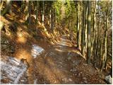 19
19 20
20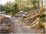 21
21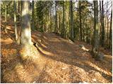 22
22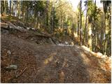 23
23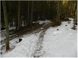 24
24 25
25 26
26 27
27 28
28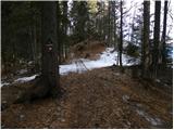 29
29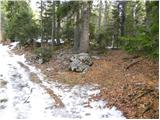 30
30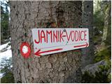 31
31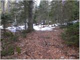 32
32 33
33 34
34 35
35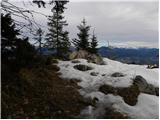 36
36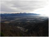 37
37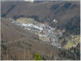 38
38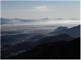 39
39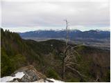 40
40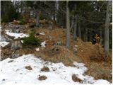 41
41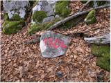 42
42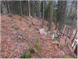 43
43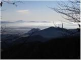 44
44 45
45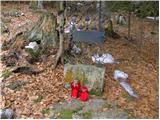 46
46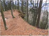 47
47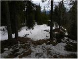 48
48 49
49 50
50 51
51 52
52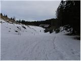 53
53 54
54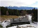 55
55