Starting point: Kozje (274 m)
| Latitude/Longitude: | 46,07285°N 15,55516°E |
| |
Walking time: 1 h
Difficulty: easy marked way
Elevation gain: 435 m
Elevation difference along the route: 435 m
Map: Posavsko hribovje (Boč - Bohor) 1:50000
Recommended equipment (summer):
Recommended equipment (winter):
Views: 5.020
 | 2 people like this post |
Access to starting point:
From Krško we go towards Brestanica, continue through Senovo and Podsreda, where we turn in the direction of the settlement Kozje. When we arrive at the mentioned settlement, we park in a parking lot right next to the pond and the bus stop.
If we come from the direction of Celje, we drive to Šentjur, and there we turn towards Gorica pri Slivnici. We follow this road through Lesično all the way to Kozje, where we park in a parking lot right next to the pond and the bus stop.
Route description:
From the parking lot, we head towards the center of Kozje, passing the church of the Assumption of Mary and the Kozje mansion, where at the start of the trim trail we step onto a macadam road. The mentioned road winds steeply through the forest, and higher up it passes by some older farms and between pastures before returning to the forest. Soon after, we reach a gentler asphalt road leading to the village of Vetrnik, but we follow it for only a few dozen meters, as signs direct us left onto a forest road towards the summit. At the next junction, we take the right path, which soon crosses a grassy slope and climbs steeply for a few dozen meters before leveling off slightly. When we emerge from the forest, only a short traverse of a grassy slope and a few meters of ascent remain to reach the panoramic summit of Vetrnik. The path is marked with Knafelc blazes, which are somewhat sparse in places, but are supplemented by signposts of the Travnik nature trail.
Photos:
 1
1 2
2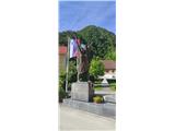 3
3 4
4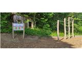 5
5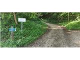 6
6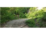 7
7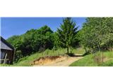 8
8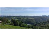 9
9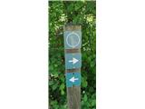 10
10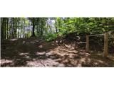 11
11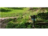 12
12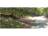 13
13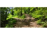 14
14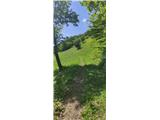 15
15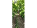 16
16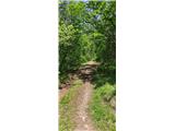 17
17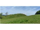 18
18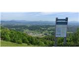 19
19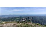 20
20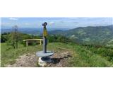 21
21 22
22
Discussion about the trip Kozje - Vetrnik
To post a comment you must log in:
If you do not yet have a username, you must first
register.