Laško (at Tabor Castle) - Hum above Laško (through Zahum and on east ridge)
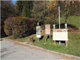
Starting point: Laško (at Tabor Castle) (299 m)
Starting point Lat/Lon: 46.1573°N 15.2374°E 
Path name: through Zahum and on east ridge
Time of walking: 1 h 10 min
Difficulty: difficult marked way
Difficulty of skiing: no data
Altitude difference: 284 m
Altitude difference (by path): 290 m
Map: Posavsko hribovje zahodni del 1:50000
Access to starting point:
A) From highway Ljubljana - Maribor we go to the exit Celje - center, and then we continue driving towards Laško and Zidani Most. When we come to Laško, at the traffic light opposite the motel Hum and pizzeria Špica we turn over a bridge left, then on a priority road right, then 2x left and immediately again right on the road Kidričeva cesta, here we already notice signs for castle Tabor, which we follow on the road Cesta na Svetino and when we already drive uphill higher another signpost for castle points to the left and then follows about 300 meters of driving to the parking lot at the castle.
B) From Zasavje or Posavje we drive to Zidani Most or Rimske Toplice, and then we continue driving towards Celje. When we come to Laško, at the traffic light opposite the motel Hum and pizzeria Špica we turn right over the bridge, after that the same at at the description A).
Path description:
From the parking lot at the castle Tabor we go left from the information board, at first 10 meters on the road then through a meadow, where we stick to the right to the forest, then follows 5 minutes more on a flat, and at the end there is some of an ascent to a crossroad below Blažunova skala, there we go on the left path, in zig-zags steeply downwards to an asphalt road, to here additional 5 minutes. Next follows an ascent on the road all the way to the last house (additional 15 minutes), then straight on a macadam, higher we follow signposts on a macadam and we get into the forest, higher the macadam road brings us on a clearing, and we are soon at the crossroad, where we turn right steeply into the forest, higher at the next crossroad we go slightly left, then after few minutes, when we come out of the forest at signposts sharply right (to here additional 10 minutes). We soon get to the plantation of young spruces, here we go left past it, and then the path starts ascending towards the east ridge. Next follows an enjoyable ridge path, at first through the forest, higher also on more open terrain, some on flat, and the path is mostly is ascending, and there are also some descents. On the right we notice an inscription book (it seems like a secondary peak of Hum) (to here additional 15 minutes), we continue in zig-zags, by steel cables, partly through the forest, partly on open terrain and we come to the viewpoint with a bench, where a view opens up towards the peak of Hum (additional 15 minutes). Follows only the last part through the forest, at first on flat, then steeply upwards and we quickly find ourselves on the top of Hum.
Pictures:
 1
1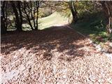 2
2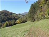 3
3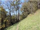 4
4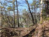 5
5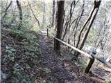 6
6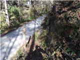 7
7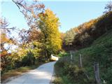 8
8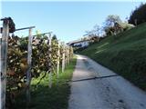 9
9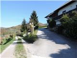 10
10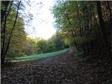 11
11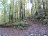 12
12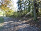 13
13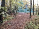 14
14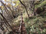 15
15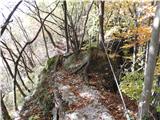 16
16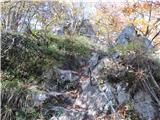 17
17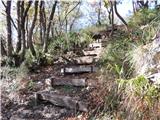 18
18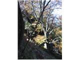 19
19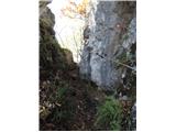 20
20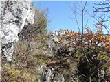 21
21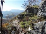 22
22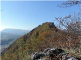 23
23 24
24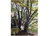 25
25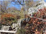 26
26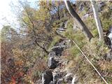 27
27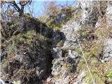 28
28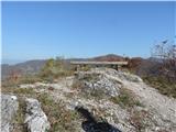 29
29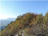 30
30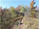 31
31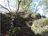 32
32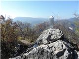 33
33