Laufnitzdorf - Kreuzkogel
Starting point: Laufnitzdorf (440 m)
| Latitude/Longitude: | 47,29111°N 15,32071°E |
| |
Walking time: 2 h 30 min
Difficulty: partly demanding marked way
Elevation gain: 741 m
Elevation difference along the route: 755 m
Map: Graz und Umgebung, https://www.bergfex.at
Recommended equipment (summer):
Recommended equipment (winter): ice axe, crampons
Views: 113
 | 1 person like this post |
Access to starting point:
We leave the Maribor-Graz-Salzburg motorway (A9) after a few shorter tunnels outside Graz and continue right on the expressway in the direction of Wien-Bruck/Muhr-Peggau.
We leave the expressway at the Laufnitzdorf exit and turn right. We drive 1 km along the road. On the left side, we see a parking lot where we leave the car.
Route description:
From the parking lot on the other side of the road, we see the first blaze and signpost for Schiffall.
We cross the road and follow the blazes through the settlement Laufnitzdorf.
When the road ends, we continue on a forest path steeply upwards.
We arrive at a larger meadow and along the edge of the forest slowly gain height.
We cross the fence and the road and continue on the path through the forest.
We come again to a meadow, where a steep path across the meadow leads us to a narrower asphalt road.
We go right and after 150 m before the farm, we leave the road and bypass the building on the left side.
We continue on the forest road.
We come again to a meadow (admiring the beautiful view into the valley), which we follow a little further to the junction Schiffall/Kreuzkogel.
At the junction, we continue straight in the direction of Kreuzkogel (to the left leads the path to Schiffall).
We follow the road upwards. Along the way, we pass the abandoned farm Obergoisser, a little higher also a viewpoint.
We soon leave the road and continue on a steep forest path. We cross a clearing and come to a junction, where the path from Schiffall joins from the left.
We continue right towards the summit of Kreuzkogel. When we bypass a larger rock, we spot a cross on the rocky summit.
We overcome the last section with the aid of a steel cable and arrive at the summit. On the summit there is a cross and a bench for resting.

Photos:
 1
1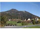 2
2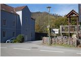 3
3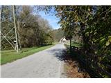 4
4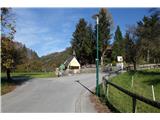 5
5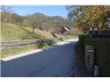 6
6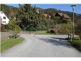 7
7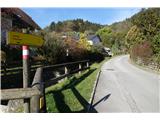 8
8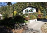 9
9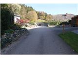 10
10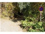 11
11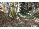 12
12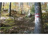 13
13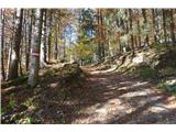 14
14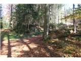 15
15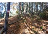 16
16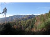 17
17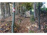 18
18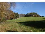 19
19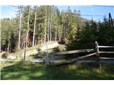 20
20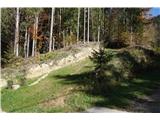 21
21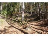 22
22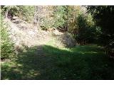 23
23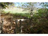 24
24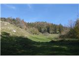 25
25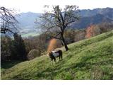 26
26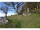 27
27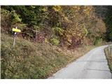 28
28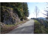 29
29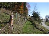 30
30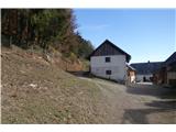 31
31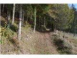 32
32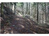 33
33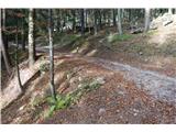 34
34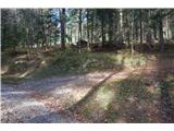 35
35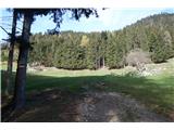 36
36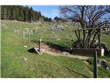 37
37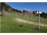 38
38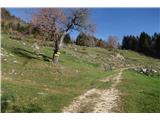 39
39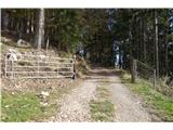 40
40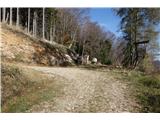 41
41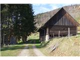 42
42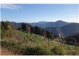 43
43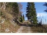 44
44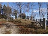 45
45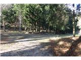 46
46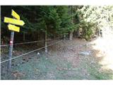 47
47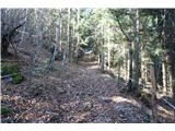 48
48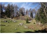 49
49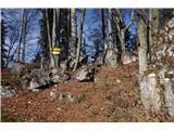 50
50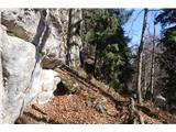 51
51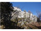 52
52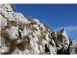 53
53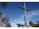 54
54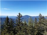 55
55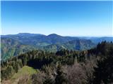 56
56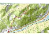 57
57
Discussion about the trip Laufnitzdorf - Kreuzkogel
To post a comment you must log in:
If you do not yet have a username, you must first
register.