Ljubljana (Zalog) - Debenji vrh
Starting point: Ljubljana (Zalog) (276 m)
| Latitude/Longitude: | 46,06320°N 14,62450°E |
| |
Walking time: 45 min
Difficulty: easy marked way
Elevation gain: 254 m
Elevation difference along the route: 280 m
Map: Ljubljana - okolica 1:50.000
Recommended equipment (summer):
Recommended equipment (winter):
Views: 13.182
 | 1 person like this post |
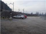
Access to starting point:
From Ljubljana, we drive along Zaloška cesta to Zalog. In Zalog at the traffic light we continue straight past the post office and the fire station, cross the bridge over the Ljubljanica, and after approximately 300 meters park in the parking lot right before the only house on the right side.
Route description:
The path starts steeply ascending immediately after the underpass under the railway track. The steepness soon decreases. We go past a spring, the path turns to the left and we soon get to hairpin turns. The path ascends steeply until we come to the top of the ridge, where there is a bench. Here we go right (not on the Ostrovrharjeva pot) and continue along the ridge, but the path is no longer so steep. When the path almost flattens, we come to a junction. The left path goes around the hill, the right or straight path goes over the hill (we ascend approx. 20 m), which join on the other side. We continue all the way to the last ascent, where we have again two options: for the fast straight ahead, for the others via three hairpin turns to the summit. The path can be continued to Pečar in 20-30 minutes, where the thirsty will also get their satisfaction.
Photos:
 1
1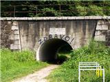 2
2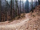 3
3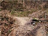 4
4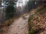 5
5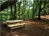 6
6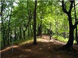 7
7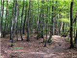 8
8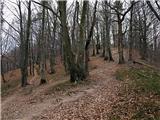 9
9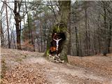 10
10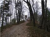 11
11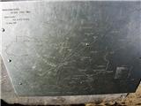 12
12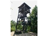 13
13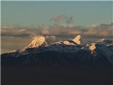 14
14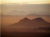 15
15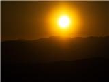 16
16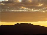 17
17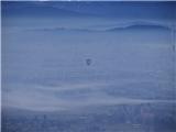 18
18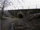 19
19 20
20
Discussion about the trip Ljubljana (Zalog) - Debenji vrh
To post a comment you must log in:
If you do not yet have a username, you must first
register.